
Netteniederung, protected landscape in Grefrath, Germany (2004 extension area)
Location: Grefrath
Inception: 2004
GPS coordinates: 51.36739,6.32563
Latest update: June 15, 2025 21:24
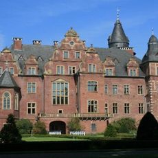
Krickenbeck Castle
4.8 km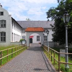
Niederrheinisches Freilichtmuseum
2.5 km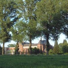
Abtei Mariendonk
2.6 km
Burg Wachtendonk
4.2 km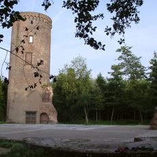
Burg Uda
6.2 km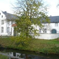
Dorenburg (Grefrath)
2.4 km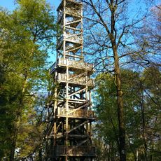
Taubenberg Observation Tower
4.3 km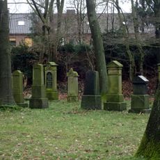
Jüdischer Friedhof
6.2 km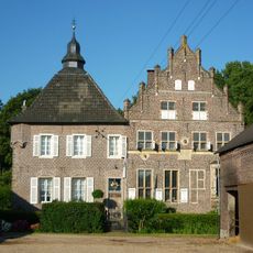
Haus Steinfunder
5.3 km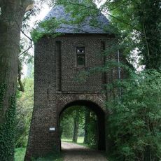
Haus Velde
5.9 km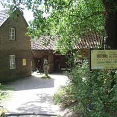
Textilmuseum Die Scheune
5.2 km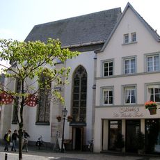
Heilig-Geist-Kapelle
6.5 km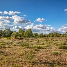
Heronger Buschberge, Wankumer Heide
3.9 km
St. Josef (Kempen)
6.5 km
Stammenmühle
4.6 km
St Michael
4.5 km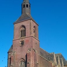
St. Martin
3.9 km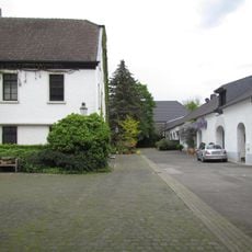
Neersdommer Mühle
2.6 km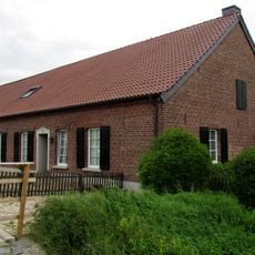
Kovermühle
2.5 km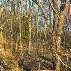
Schlootkuhlen
5.3 km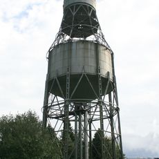
Wasserturm Grefrath
5.4 km
St. Laurentius
3.6 km
Nettmühle
1.1 km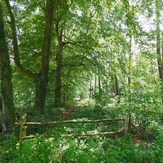
Altbuchen an Harbes Hof
2.7 km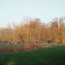
Bremmersbruch
5.7 km
Heimatmuseum Oedt
5.6 km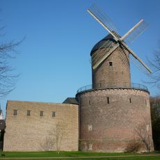
Turmwindmühle (Kempen)
6.3 km
Thomaskirche (Kempen)
6.3 kmReviews
Visited this place? Tap the stars to rate it and share your experience / photos with the community! Try now! You can cancel it anytime.
Discover hidden gems everywhere you go!
From secret cafés to breathtaking viewpoints, skip the crowded tourist spots and find places that match your style. Our app makes it easy with voice search, smart filtering, route optimization, and insider tips from travelers worldwide. Download now for the complete mobile experience.

A unique approach to discovering new places❞
— Le Figaro
All the places worth exploring❞
— France Info
A tailor-made excursion in just a few clicks❞
— 20 Minutes