
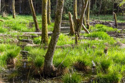
Bachaue des Röthenbachs östlich von Ungestetten, Auenlandschaft im Landkreis Nürnberger Land in Bayern
Location: Winkelhaid
Part of: Röthenbach
GPS coordinates: 49.40909,11.32095
Latest update: March 3, 2025 01:51
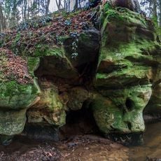
Rumpelbachschlucht
1 km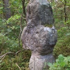
Steinkreuz bei Röthenbach
875 m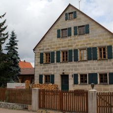
Bauernhof, Bauernhaus in Winkelhaid
1.7 km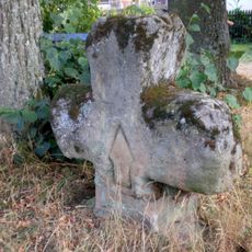
Kreuz in Altdorf bei Nürnberg
1.5 km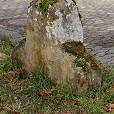
Kreuz in Altdorf bei Nürnberg
2.4 km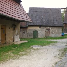
Stall Ludersheimer Straße 17 (D-5-74-112-171#1)
2 km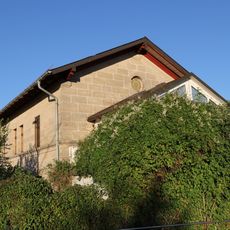
Ehemaliges Stationsgebäude in Winkelhaid
2.3 km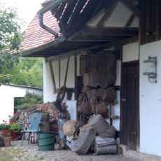
Remise (Landwirtschaft) Röthenbacher Straße 12 (D-5-74-112-201#1)
1.5 km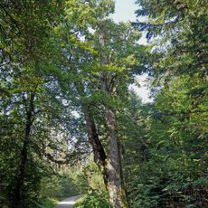
Napoleoneiche
2.3 km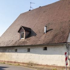
Wohnstallhaus in Winkelhaid
1.8 km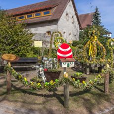
Easter fountains in Ungelstetten
1.7 km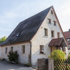
Wohnstallhaus in Winkelhaid
1.7 km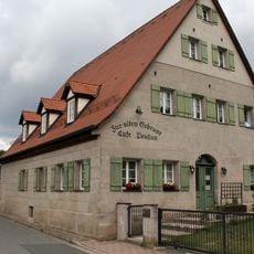
Ehem. Wohnstallhaus in Winkelhaid
1.8 km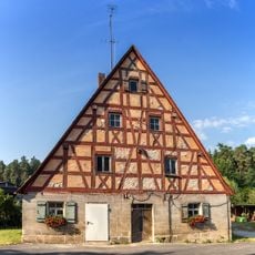
Wohnstallhaus in Winkelhaid
1.8 km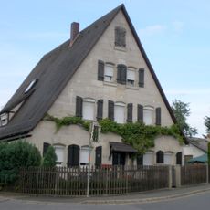
Ehemaliges Wohnstallhaus in Altdorf bei Nürnberg
1.5 km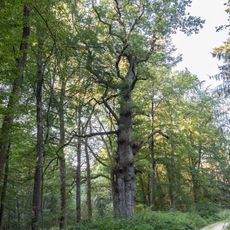
Eichengruppe am Unteren Egelsee
2 km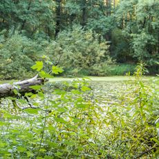
Oberer Egelsee
1.7 km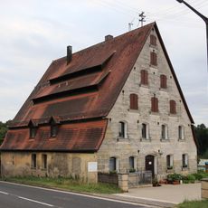
Cultural heritage monuments in Unterwellitzleithen
2 km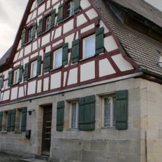
Wohnstallhaus in Altdorf bei Nürnberg
2 km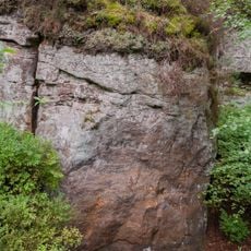
Steinbruch Lindenlohe bei Ungelstetten
521 m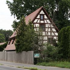
Ehemaliges Wohnstallhaus in Altdorf bei Nürnberg
2 km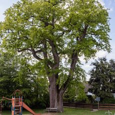
Die 2 Röthenbacher Angereichen
1.5 km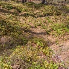
Wolfsgrube im gemeindefreien Gebiet Winkelhaid
1.3 km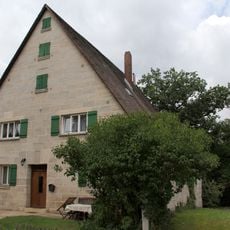
Wohnstallhaus in Winkelhaid
1.7 km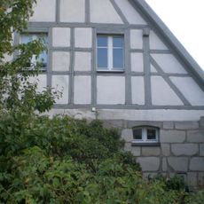
Ehemaliges Wohnstallhaus in Altdorf bei Nürnberg
1.5 km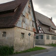
Remise (Landwirtschaft) Ludersheimer Straße 17 (D-5-74-112-171#2)
2 km
Wohnstallhaus in Winkelhaid
1.8 km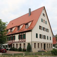
Wohnstallhaus in Altdorf bei Nürnberg
2 kmVisited this place? Tap the stars to rate it and share your experience / photos with the community! Try now! You can cancel it anytime.
Discover hidden gems everywhere you go!
From secret cafés to breathtaking viewpoints, skip the crowded tourist spots and find places that match your style. Our app makes it easy with voice search, smart filtering, route optimization, and insider tips from travelers worldwide. Download now for the complete mobile experience.

A unique approach to discovering new places❞
— Le Figaro
All the places worth exploring❞
— France Info
A tailor-made excursion in just a few clicks❞
— 20 Minutes