
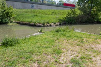
Ehemaliges Sicherheitstor in Kelheim, Sicherheitstor im Landkreis Kelheim in Bayern
Location: Kelheim
Part of: Ludwig Canal
GPS coordinates: 48.92138,11.86853
Latest update: March 8, 2025 00:50
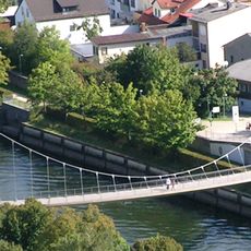
Fußgängerbrücke am Torhausplatz
303 m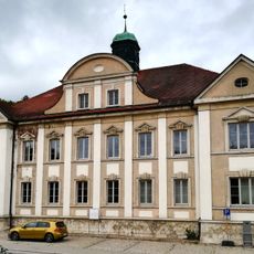
Amtsgericht Kelheim
310 m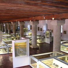
Archäologisches Museum der Stadt Kelheim
443 m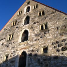
Herzogskasten (Kelheim)
440 m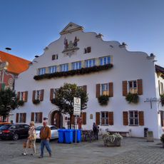
Altes Rathaus
465 m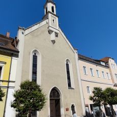
St. Matthäus
389 m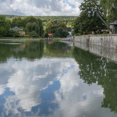
Kanalhafen Kelheim
304 m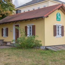
Hafengehilfenhaus im Hafen Kelheim
235 m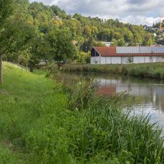
Erdbauten des Ludwig-Donau-Main-Kanals #01
112 m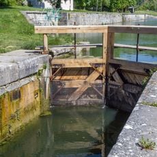
Schleuse 1 des Ludwig-Donau-Main-Kanals
397 m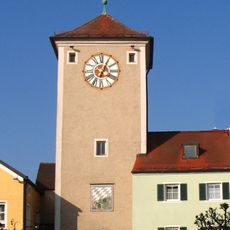
Altmühl Gate
357 m
Schleusenwärter- und Kanalmeisterhaus in Kelheim
391 m
Forstamt Hienheimer Straße 14
208 m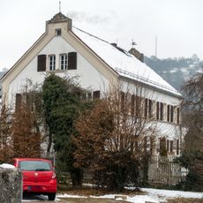
Kanalstraße 3
156 m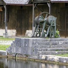
Hafenwinde im Kanalhafen Kelheim
329 m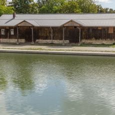
LagerschuppenHafen Kelheim
313 m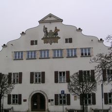
Rathaus, ehemalige Stadtschreiberei
450 m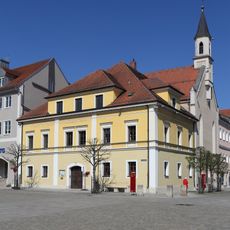
Ludwigstraße 2
391 m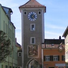
Mittertor
309 m
Stadtapotheke
464 m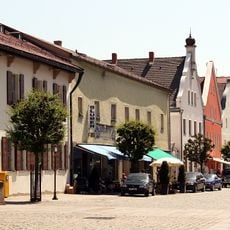
Ensemble Altstadt Kelheim
461 m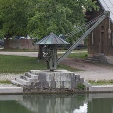
Eisenkran am Ostkai
282 m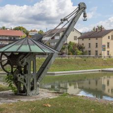
Eisenkran am Westkai
276 m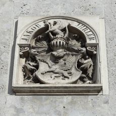
Ludwigstraße 8, Wappenrelief
353 m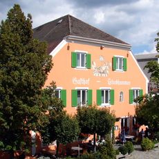
Gasthof
371 m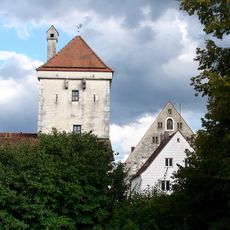
Ledererturm, Wehrturm der ehemaligen Stadtbefestigung
387 m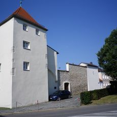
Stadtbefestigung
459 m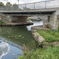
Strassenbrücke Hienheimer Straße
230 mReviews
Visited this place? Tap the stars to rate it and share your experience / photos with the community! Try now! You can cancel it anytime.
Discover hidden gems everywhere you go!
From secret cafés to breathtaking viewpoints, skip the crowded tourist spots and find places that match your style. Our app makes it easy with voice search, smart filtering, route optimization, and insider tips from travelers worldwide. Download now for the complete mobile experience.

A unique approach to discovering new places❞
— Le Figaro
All the places worth exploring❞
— France Info
A tailor-made excursion in just a few clicks❞
— 20 Minutes