
Kneipp-Anlage, Kneipp-Anlage in Dienstadt im Main-Tauber-Kreis, Baden-Württemberg
Location: Tauberbischofsheim
Part of: Kneipp-Anlage in Main-Tauber-Kreis
GPS coordinates: 49.63180,9.61423
Latest update: March 11, 2025 12:09


St. Martin
2 km
Haigergrund
2.2 km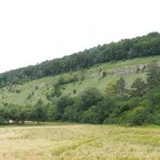
Stammberg
2.2 km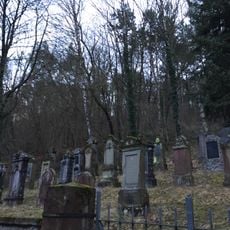
Jüdischer Friedhof Königheim
1.8 km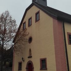
Haigerkapelle
1.6 km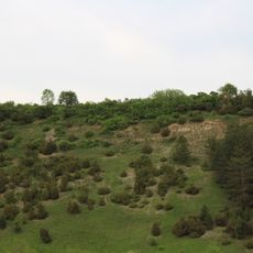
Hunsenberg
1.9 km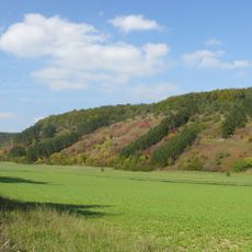
Königheim
2 km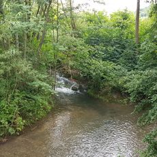
Nordwestliches Tauberland und Brehmbach
2.1 km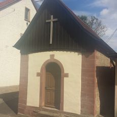
Muttergotteskapelle
390 m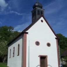
St. Jakobus
315 m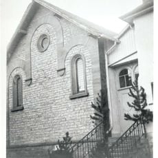
Synagoge
2 km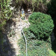
Mariengrotte
315 m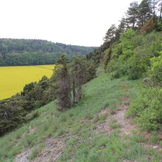
Hunsenberg
2.1 km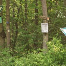
Stammberg
2 km
Naturdenkmal Doline Stammberg, Gemeindewald Abt. II 5
2 km
Rathaus
2.1 km
Mariengrotte
2 km
Kriegerdenkmal
386 m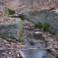
Naturdenkmal Quelle Tannenwald, Walddistrikt I
1.3 km
Naturdenkmal Felspartie Schlüsseläcker Im Grund
1.1 km
Feldkapelle am Stammberg
2.1 km
Sühnekreuz Tauberbischofsheim XVI
1.8 km
Kriegerdenkmal
1.8 km
Obere Spraitkapelle
2.2 km
Öffentlicher Bücherschrank
2 km
Sühnekreuz Tauberbischofsheim VII
894 m
Grabhügelgruppe Dienstadt
1.3 km
Sühnekreuz Tauberbischofsheim XVII
1.3 kmReviews
Visited this place? Tap the stars to rate it and share your experience / photos with the community! Try now! You can cancel it anytime.
Discover hidden gems everywhere you go!
From secret cafés to breathtaking viewpoints, skip the crowded tourist spots and find places that match your style. Our app makes it easy with voice search, smart filtering, route optimization, and insider tips from travelers worldwide. Download now for the complete mobile experience.

A unique approach to discovering new places❞
— Le Figaro
All the places worth exploring❞
— France Info
A tailor-made excursion in just a few clicks❞
— 20 Minutes