
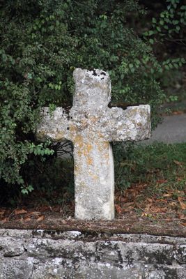
Sühnekreuz Creglingen VII, Sühnekreuz Creglingen VII, ca. 15./16. Jh
Location: Creglingen
Part of: Steinkreuznest bei Münster
GPS coordinates: 49.44022,10.04177
Latest update: March 5, 2025 19:17
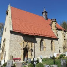
Herrgottskirche
2.1 km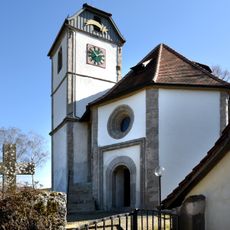
Ulrichskapelle
2.9 km
Schloss Archshofen
2.7 km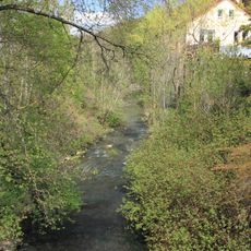
Kohlesmühle
2.3 km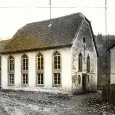
Synagoge Archshofen
2.6 km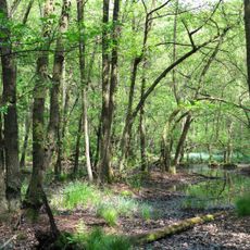
Erlenbruchwald beim Lichteler Landturm
2.9 km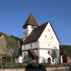
Evangelische Kirche
412 m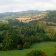
Taubergrund bei Creglingen
2.7 km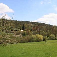
Herrgottskirche
2.1 km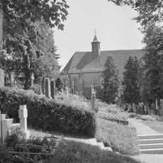
Friedhof
2.2 km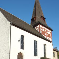
St. Ägidius
2.7 km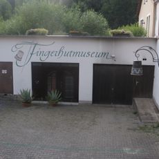
Fingerhutmuseum
2.3 km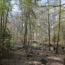
Erlenbruch Wieser Holz
2.7 km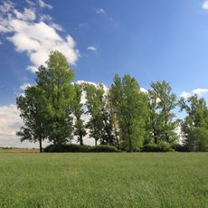
Flachmoor Engelshütte
964 m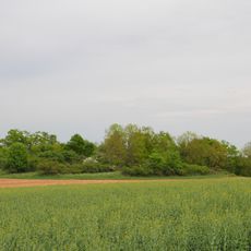
Feldgehölz am Signal Herrgottsfeld Pfad, Stutz
2.3 km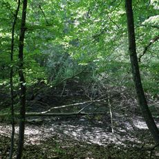
Doline, wassergefüllt u. von Weiden umsäumt Vorderer Wasen
2.5 km
Münsterseen Creglingen
507 m
Linde und Rotbuche Burkel
2.1 km
Altarm der Tauber Lachen
2.7 km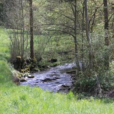
Wasserschutzgebiet Creglingen/Hohenloher Wasserversorgungsgruppe
2.6 km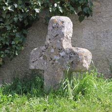
Sühnekreuz Creglingen I
2.2 km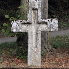
Sühnekreuz Creglingen VIII
1 m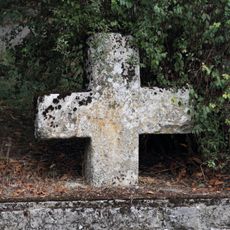
Sühnekreuz Creglingen IX
1 m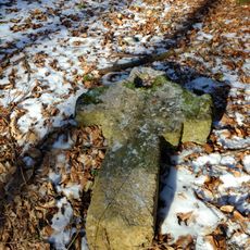
Sühnekreuz Creglingen X
1.8 km
Ödland Tränke
1.4 km
Baumgruppe mit Flachmoorstellen Standorfer-Laube, Heide
1.8 km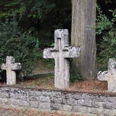
Steinkreuznest bei Münster
1 m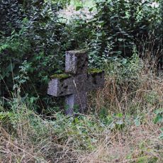
Sühnekreuz Niederstetten IV
2.2 kmReviews
Visited this place? Tap the stars to rate it and share your experience / photos with the community! Try now! You can cancel it anytime.
Discover hidden gems everywhere you go!
From secret cafés to breathtaking viewpoints, skip the crowded tourist spots and find places that match your style. Our app makes it easy with voice search, smart filtering, route optimization, and insider tips from travelers worldwide. Download now for the complete mobile experience.

A unique approach to discovering new places❞
— Le Figaro
All the places worth exploring❞
— France Info
A tailor-made excursion in just a few clicks❞
— 20 Minutes