
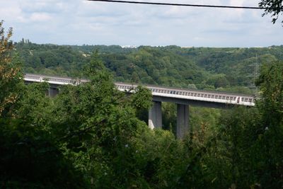
Valley bridge, Highway bridge in Saarbrücken-Bischmisheim
Location: Bischmisheim
Length: 950 m
GPS coordinates: 49.21550,7.06730
Latest update: March 3, 2025 00:31
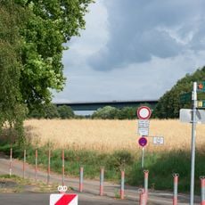
Valley bridge
1.5 km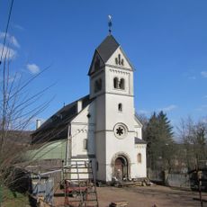
Stummsche Kapelle
2.2 km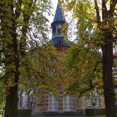
Evangelische Kirche
407 m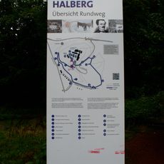
Rundweg Historischer Halberg
2.6 km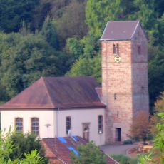
Evangelische Kirche Fechingen
1.9 km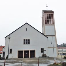
St. Theresia
1.9 km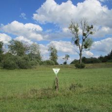
Wusterhang und Beierwies bei Fechingen
979 m
Wisch- und Wogbachtal
2.4 km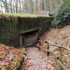
Bunker WH 316
2.6 km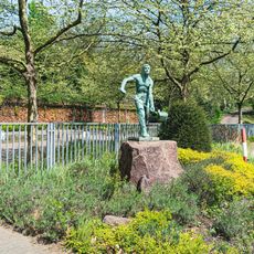
Eisengießer
2.5 km
Beierwies
1.7 km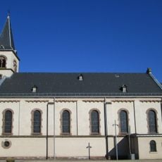
Maria Hilf
2.1 km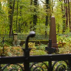
Stummsche Erbbegräbnisstätte
2.3 km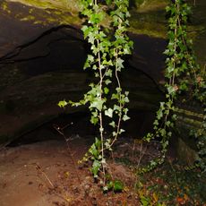
Bat cave
67 m
Halberg
2.5 km
Wusterhang
986 m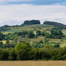
Gebberg
2.2 km
Kirche am Lorenzberg
2 km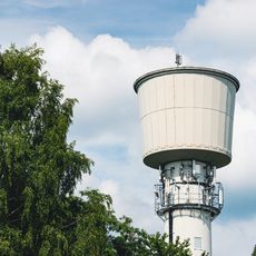
Water tower
832 m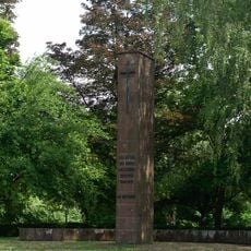
War memorial
768 m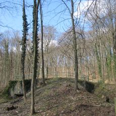
Bunker WH 316
2.6 km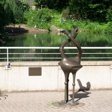
Flamingos
2.5 km
Ochselbrunnen
1.1 km
Alte Ölmühle
345 m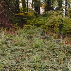
Ehemaliger Storchenweiher
2.5 km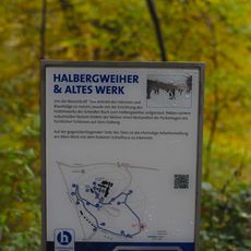
Altes Werk
2 km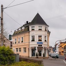
Saarbrücker Straße 73
2 km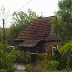
Pförtnerhaus Stummstraße
2.2 kmReviews
Visited this place? Tap the stars to rate it and share your experience / photos with the community! Try now! You can cancel it anytime.
Discover hidden gems everywhere you go!
From secret cafés to breathtaking viewpoints, skip the crowded tourist spots and find places that match your style. Our app makes it easy with voice search, smart filtering, route optimization, and insider tips from travelers worldwide. Download now for the complete mobile experience.

A unique approach to discovering new places❞
— Le Figaro
All the places worth exploring❞
— France Info
A tailor-made excursion in just a few clicks❞
— 20 Minutes