
Stemweder Berg, protected landscape in North Rhine-Westphalia, Germany
Location: Stemwede
Inception: January 15, 2018
GPS coordinates: 52.44583,8.44444
Latest update: March 3, 2025 08:43
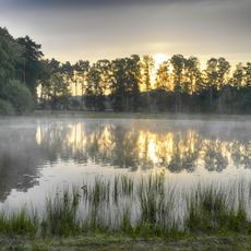
Schnakenpohl
7.8 km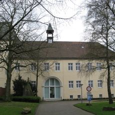
Schloss Haldem
4.5 km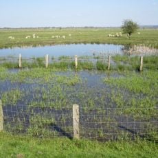
Ochsenmoor
8.9 km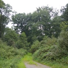
Evershorst
7.9 km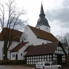
Kloster Levern
8 km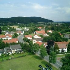
Scharfer Berg
1.9 km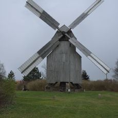
Post mill Oppenwehe
6.6 km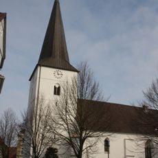
Marienkirche (Dielingen)
6.7 km
Oppenweher Moor
9.1 km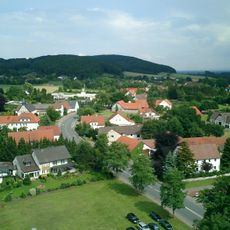
Kollwesshöh
1.2 km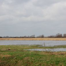
Hohe Sieben
9.3 km
Sette
5 km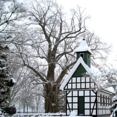
Friedhofslinde in Stemwede-Oppenwehe
3.3 km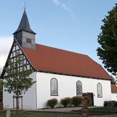
Heilig-Kreuz-Kapelle
3.9 km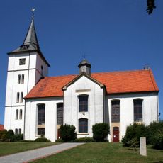
Evangelische Kirche Wehdem
1.5 km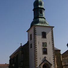
Martin-Luther-Kirche
5.2 km
St. Marien Kirche
8.2 km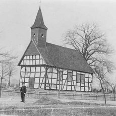
Oppenweher Klus
4.7 km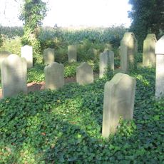
Jüdischer Friedhof Levern
6.9 km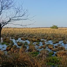
Oppenweher Moorlandschaft
7.3 km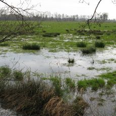
Oppenweher Moor (NW)
8.2 km
Vogelschutzgebiet Oppenweher Moor
8.7 km
Oppenweher Moor (NI)
8.8 km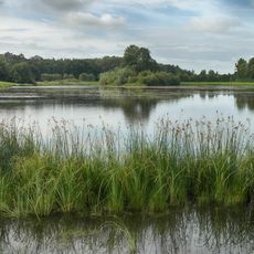
Altkreis Lübbecke
7.3 km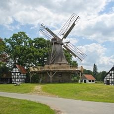
Windmill Levern (Stemwede)
8.6 km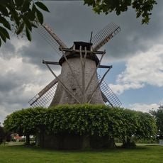
Windmill Destel
9.3 km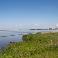
Dümmer
9.3 km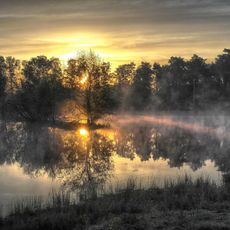
Schnakenpohl
7.9 kmReviews
Visited this place? Tap the stars to rate it and share your experience / photos with the community! Try now! You can cancel it anytime.
Discover hidden gems everywhere you go!
From secret cafés to breathtaking viewpoints, skip the crowded tourist spots and find places that match your style. Our app makes it easy with voice search, smart filtering, route optimization, and insider tips from travelers worldwide. Download now for the complete mobile experience.

A unique approach to discovering new places❞
— Le Figaro
All the places worth exploring❞
— France Info
A tailor-made excursion in just a few clicks❞
— 20 Minutes