
Popularity :
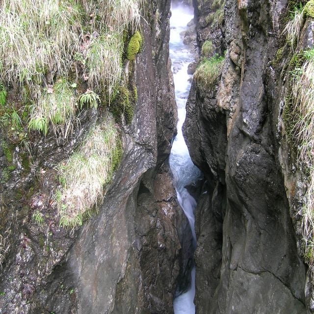
Karstquellen im Christlessee SSE von Oberstdorf, Geotop in Landkreis Oberallgäu in Bavaria, Germany
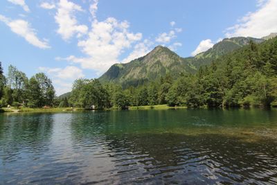
The placeWikimedia Commons CC BY-SA
Filters
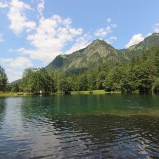
Karstquellen im Christlessee SSE von Oberstdorf
Geotop in Landkreis Oberallgäu in Bavaria, Germany
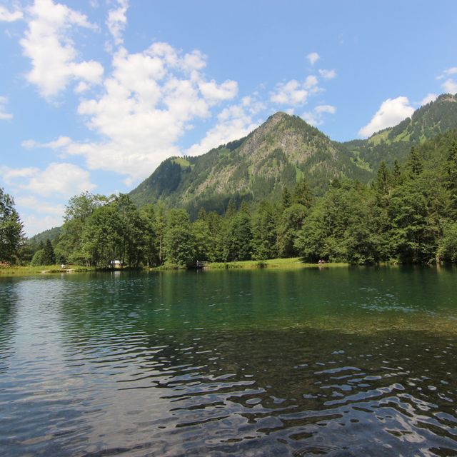
Karstquellen im Christlessee SSE von Oberstdorf
Geotop in Landkreis Oberallgäu in Bavaria, Germany
Germany
0 m
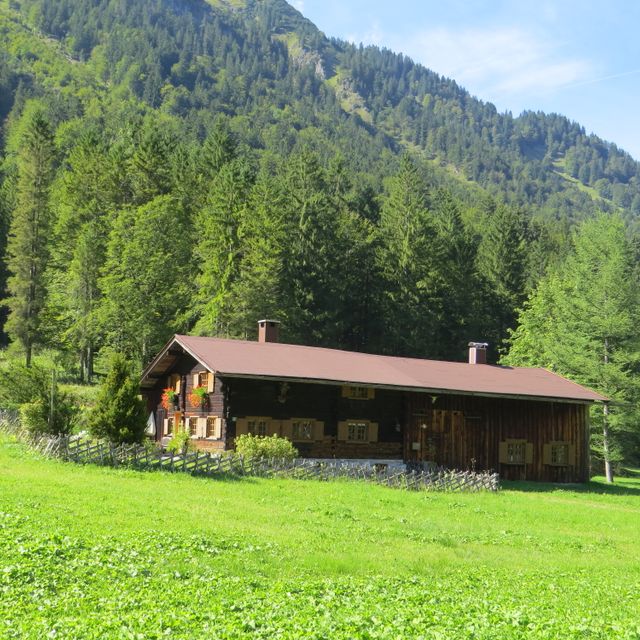
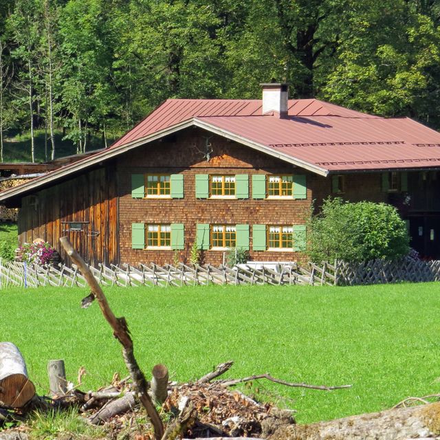
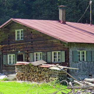
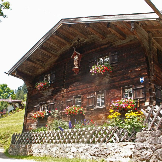
Ehemaliges Bauernhaus
Building in Oberstdorf, Swabia, Germany

Ehemaliges Bauernhaus
Building in Oberstdorf, Swabia, Germany
Germany
436 m
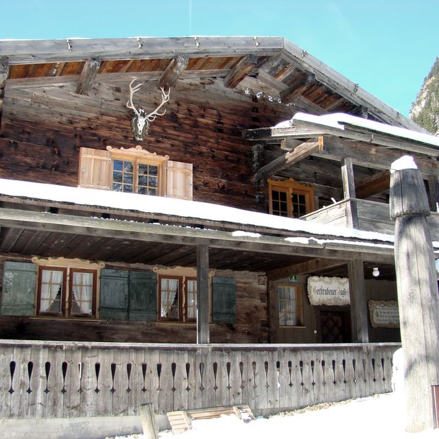
Ehemaliges Bauernhaus
Building in Oberstdorf, Swabia, Germany
Ehemaliges Bauernhaus
Building in Oberstdorf, Swabia, Germany
Germany
591 m
Hölltobel W von Gerstruben
Geotop in Landkreis Oberallgäu in Bavaria, Germany
Hölltobel W von Gerstruben
Geotop in Landkreis Oberallgäu in Bavaria, Germany
Germany
756 m

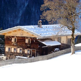
Bauernhaus
Building in Oberstdorf, Swabia, Germany
Bauernhaus
Building in Oberstdorf, Swabia, Germany
Germany
762 m
Ehemaliges Bauernhaus
Building in Oberstdorf, Swabia, Germany

Ehemaliges Bauernhaus
Building in Oberstdorf, Swabia, Germany
Germany
1 km
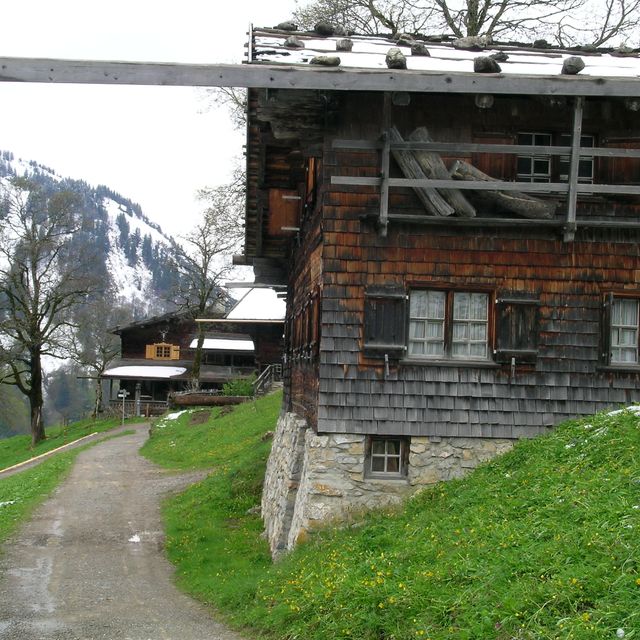
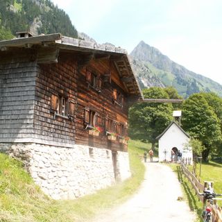
Ensemble Weiler Gerstruben
Das Ensemble wird gebildet durch eine Reihe von ehemaligen Bauernhäusern des 17. und 18. Jahrhunderts und eine zugehörige Kapelle am Abhang des Riffenkopfes in 1154 m Höhe. Die für das bayerische Alpengebiet neben Wamberg (Lkr. Garmisch-Partenkir

Ensemble Weiler Gerstruben
Das Ensemble wird gebildet durch eine Reihe von ehemaligen Bauernhäusern des 17. und 18. Jahrhunderts und eine zugehörige Kapelle am Abhang des Riffenkopfes in 1154 m Höhe. Die für das bayerische Alpengebiet neben Wamberg (Lkr. Garmisch-Partenkir
Germany
1 km

Ehemaliges Bauernhaus
Building in Oberstdorf, Swabia, Germany
Ehemaliges Bauernhaus
Building in Oberstdorf, Swabia, Germany
Germany
1 km
Ehemaliges Bauernhaus
Building in Oberstdorf, Swabia, Germany

Ehemaliges Bauernhaus
Building in Oberstdorf, Swabia, Germany
Germany
1 km

Ehemaliges Bauernhaus
Building in Oberstdorf, Swabia, Germany
Ehemaliges Bauernhaus
Building in Oberstdorf, Swabia, Germany
Germany
1.1 km
Resources
« Karstquellen im Christlessee SSE von Oberstdorf - Geotop in Landkreis Oberallgäu in Bavaria, Germany » is provided by Around.Us (aroundus.com). Images and texts are derived from Wikimedia project under a Creative Commons license. You are allowed to copy, distribute, and modify copies of this page, under the conditions set by the license, as long as this note is clearly visible.