
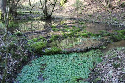
Schmelzwassertal Teufelsgraben SW von Holzkirchen, Geotop in Landkreis Miesbach in Bavaria, Germany
Location: Holzkirchen
Elevation above the sea: 682 m
Length: 4,000 m
Width: 300 m
GPS coordinates: 47.86469,11.64899
Latest update: March 3, 2025 13:29
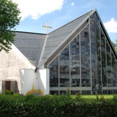
Sankt Josef
3.9 km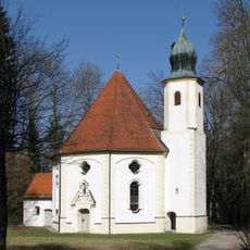
Maria Elend
4.6 km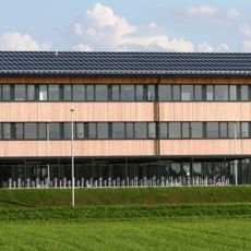
Staatliches Gymnasium Holzkirchen
4.9 km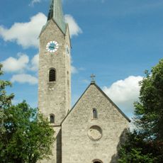
St Laurentius, Holzkirchen
4.1 km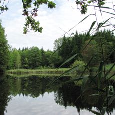
Klosterfilz
3.2 km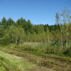
Leonhardsfilz
4.4 km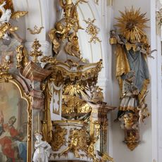
Pulpit of Mariä Himmelfahrt
4.3 km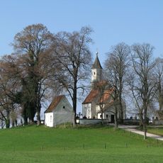
Kreuzbichlkapelle
4.8 km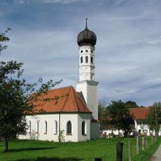
St. Katharina
3.2 km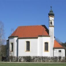
Sankt Leonhard
4.8 km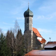
St. Magdalena
4.3 km
St. Martin
4.2 km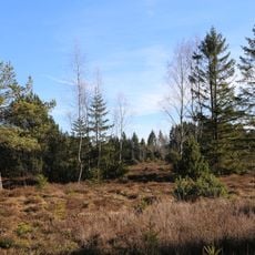
LSG Ebenbergfilze in der Gemeinde Dietramszell
5.1 km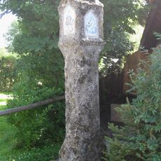
Bildstock
2.9 km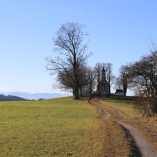
Schutz von Landschaftsteilen in der Gemeinde Dietramszell (Kreuzbichl)
5 km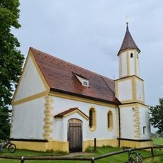
Kirche
4.5 km
Fraßhauser Straße 12
4.3 km
Klosterschänke
4.4 km
Bildstock Kreuzbichl
4.7 km
Wohnteil eines Bauernhauses
4.2 km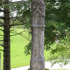
Bildstock (Lochen, Dietramszell)
4.4 km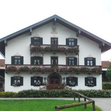
Bauernhaus
4.4 km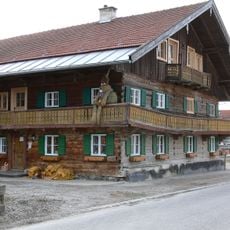
Wohnteil eines Bauernhauses
4.8 km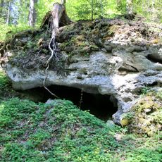
Mindelzeitliche Nagelfluh E von Pelletsmühl
3.3 km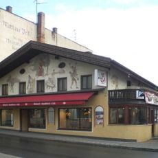
Wohn- und Geschäftshaus, Bäckerei
4.1 km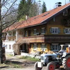
Zellbach 2
4.6 km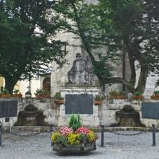
Kriegerdenkmal
4.2 km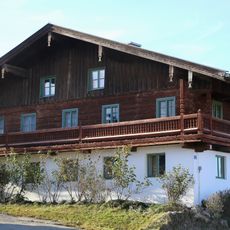
Bauernhaus
4.4 kmVisited this place? Tap the stars to rate it and share your experience / photos with the community! Try now! You can cancel it anytime.
Discover hidden gems everywhere you go!
From secret cafés to breathtaking viewpoints, skip the crowded tourist spots and find places that match your style. Our app makes it easy with voice search, smart filtering, route optimization, and insider tips from travelers worldwide. Download now for the complete mobile experience.

A unique approach to discovering new places❞
— Le Figaro
All the places worth exploring❞
— France Info
A tailor-made excursion in just a few clicks❞
— 20 Minutes