
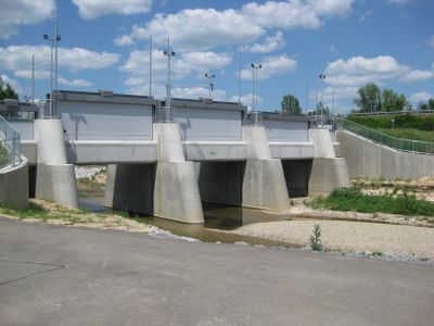
Hochwasserrückhaltebecken Plüderhausen-Urbach, detention basin in Germany
Location: Urbach
Website: https://wasserverband-rems.de/de/Hochwasserschutz/Hochwasserrueckhaltebecken/Pluederhausen-Urbach
GPS coordinates: 48.80292,9.57293
Latest update: March 14, 2025 19:21
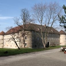
Burgschloss Schorndorf
3.2 km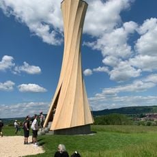
Urbach Tower
557 m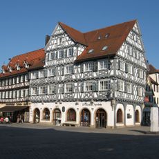
Palmsche Apotheke
3.3 km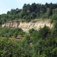
Bergrutsch am Kirchsteig bei Urbach
2.9 km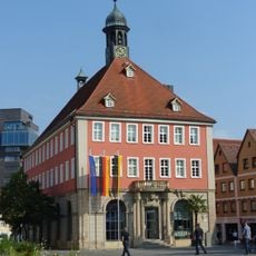
Schorndorfer Rathaus
3.4 km
Galgenberg
2 km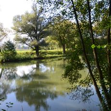
Morgensand und Seelachen
2 km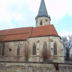
Saint Afra Church (Urbach, Rems)
1.5 km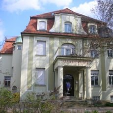
Villa Arnold, Schorndorf
3 km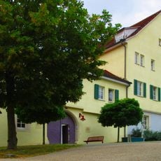
Schloss Urbach
1.7 km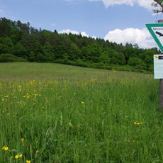
Vordere Hohbachwiesen
2.8 km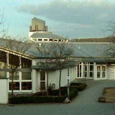
Versöhnungskirche
3.2 km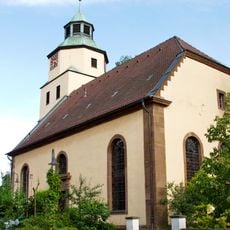
Margaretenkirche
2.3 km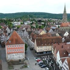
Gesamtanlage Altstadt Schorndorf
3.3 km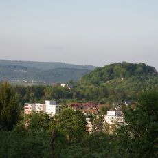
Kuppe des Frauenberges (Galgenberg)
2 km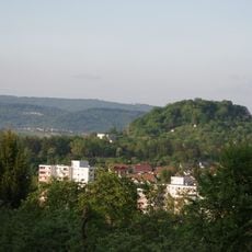
Galgenberg - Frauenberg
2 km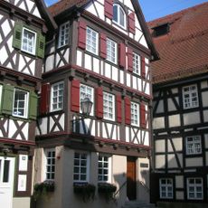
Birthplace Gottlieb Daimler
3.3 km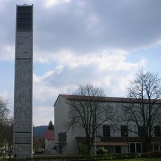
Heilig-Geist-Kirche
3.1 km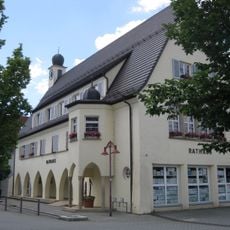
City hall Urbach
760 m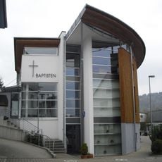
Baptistenkirche
1.4 km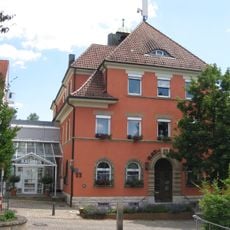
City hall Plüderhausen
2.4 km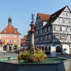
Marktbrunnen (Schorndorf)
3.3 km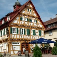
Altes Rathaus Plüderhausen
2.3 km
Kleine Fluchten
2.6 km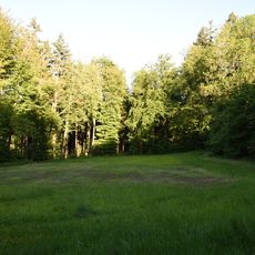
Waldwiese und Baumgruppe, Plüderhausen
2.1 km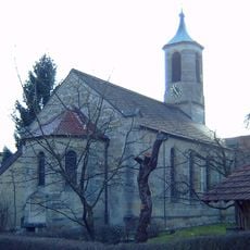
Johanneskirche
3.1 km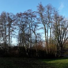
Gehölz an der Mündung des Hegnaubachs
1.5 km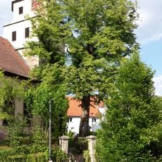
Friedenslinde
2.3 kmVisited this place? Tap the stars to rate it and share your experience / photos with the community! Try now! You can cancel it anytime.
Discover hidden gems everywhere you go!
From secret cafés to breathtaking viewpoints, skip the crowded tourist spots and find places that match your style. Our app makes it easy with voice search, smart filtering, route optimization, and insider tips from travelers worldwide. Download now for the complete mobile experience.

A unique approach to discovering new places❞
— Le Figaro
All the places worth exploring❞
— France Info
A tailor-made excursion in just a few clicks❞
— 20 Minutes