
Fort III, part of the former inner ring of forts in Cologne, Germany (no visible remains) on the left (Western) bank of the River Rhine
Location: Neustadt-Süd
Inception: 1843
Part of: Forts in Cologne
GPS coordinates: 50.91878,6.95254
Latest update: March 12, 2025 18:05
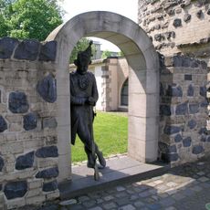
Ulrepforte
744 m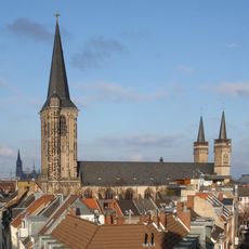
Basilica of St. Severin
712 m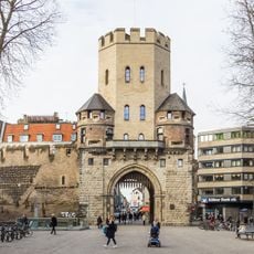
Severinstorburg
586 m
Humboldt-Gymnasium Köln
901 m
Volksgarten
464 m
Kartäuserkirche (Köln)
698 m
St. Maria vom Frieden
904 m
Großmarkt Köln
917 m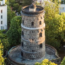
Bottmühle (Köln)
869 m
Comedia Theater
291 m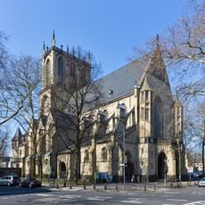
St. Paul (Köln)
443 m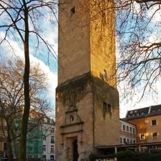
Lutherkirche
109 m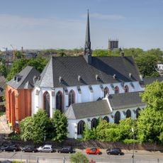
Cologne Charterhouse
673 m
Haus Balchem
624 m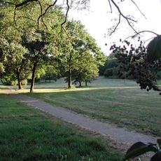
Vorgebirgspark
954 m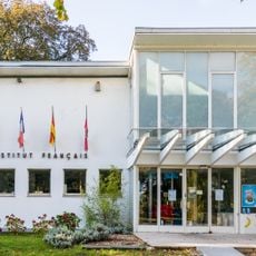
Institut français Cologne
741 m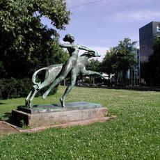
Diana with Jumping Antilope
876 m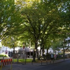
Vorgebirgsplatz
942 m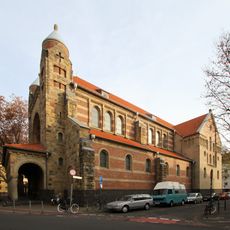
St. Maternus
757 m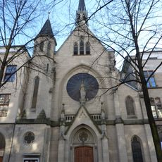
Maria Hilf
302 m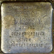
Stolperstein dedicated to Erich Klibansky
187 m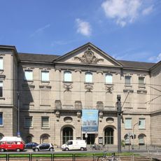
Rautenstrauch-Joest-Museum
946 m
Josephstraße 32
907 m
Sachsenring 81-85
800 m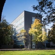
Sachsenring 91
843 m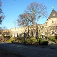
Stadtmauer am Sachsenring (Köln)
744 m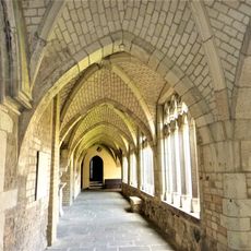
St. Severin Kreuzgang (Köln)
743 m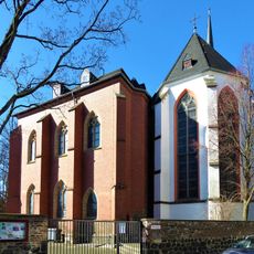
Kartause Köln, Kapitelhaus
678 mReviews
Visited this place? Tap the stars to rate it and share your experience / photos with the community! Try now! You can cancel it anytime.
Discover hidden gems everywhere you go!
From secret cafés to breathtaking viewpoints, skip the crowded tourist spots and find places that match your style. Our app makes it easy with voice search, smart filtering, route optimization, and insider tips from travelers worldwide. Download now for the complete mobile experience.

A unique approach to discovering new places❞
— Le Figaro
All the places worth exploring❞
— France Info
A tailor-made excursion in just a few clicks❞
— 20 Minutes