
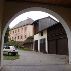
Schuppen Turmstraße 43 in Bad Neualbenreuth, cultural heritage monument D-3-77-142-23 (2) in Bad Neualbenreuth, Bavaria
Location: Bad Neualbenreuth
Part of: Stadel eines Vierseithofes
Address: Turmstraße 43
GPS coordinates: 49.98232,12.44845
Latest update: July 23, 2025 22:17
Schloss Hardeck
2.3 km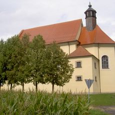
Kleine Kappl
2.1 km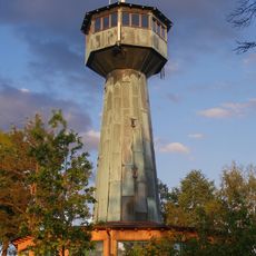
Grenzlandturm
968 m
Sankt Laurentius
649 m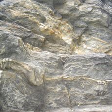
Felsen am Lerchenbühl NE von Neualbenreuth
1.6 km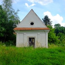
Chapel in Mýtina
2.3 km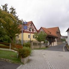
Neualbenreuth Turmstraße 5 und 7
458 m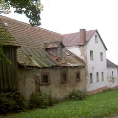
Neualbenreuth Turmstraße 46 und 48
572 m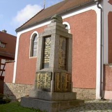
Kriegerdenkmal für die Gefallenen des Ersten Weltkriegs
637 m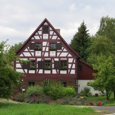
Försterhaus, sogenanntes Egerer Forsthaus
1.4 km
Ehemaliges Egerer Amtshaus, 1830–1910 Schule, seit 1911 Rathaus
582 m
Katholisches Pfarrhaus, ehemals auch Schule
2.1 km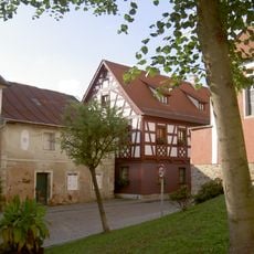
Wohnstallhaus
640 m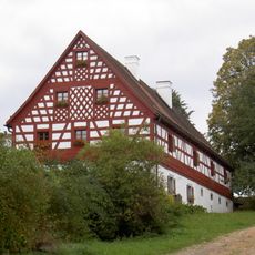
Wohnstallhaus eines Vierseithofes
82 m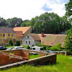
Mýtina 3
2.3 km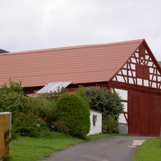
Stadel eines Vierseithofes
22 m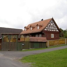
Ausnahmshaus eines Hakenhofes
50 m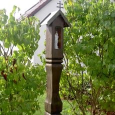
Hölzerner Säulenbildstock
384 m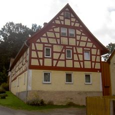
Wohnstallhaus eines Vierseithofes
419 m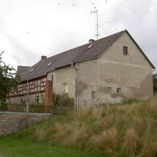
Ehemaliger Wohnteil eines Bauernhauses, seit 1886 Gasthaus
140 m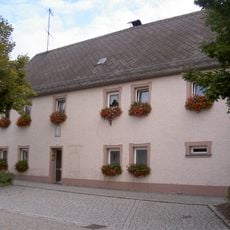
Wohnhaus
492 m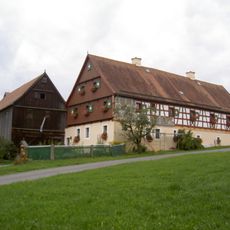
Wohnstallhaus eines Vierseithofes
144 m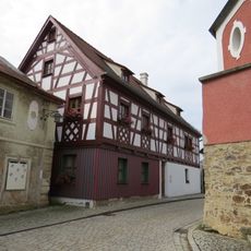
Ehemaliges Gasthaus
653 m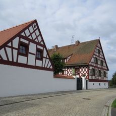
Ehemaliges Schulhaus
731 m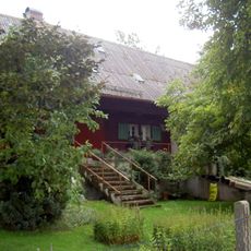
Gradlhof
931 m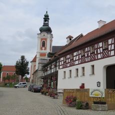
Wohnhaus eines Vierseithofes
575 m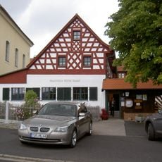
Fachwerkobergeschoss des ehemaligen gutsherrschaftlichen Wirtshauses
2.1 km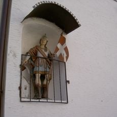
Hausfigur des heiligen Florian
557 mReviews
Visited this place? Tap the stars to rate it and share your experience / photos with the community! Try now! You can cancel it anytime.
Discover hidden gems everywhere you go!
From secret cafés to breathtaking viewpoints, skip the crowded tourist spots and find places that match your style. Our app makes it easy with voice search, smart filtering, route optimization, and insider tips from travelers worldwide. Download now for the complete mobile experience.

A unique approach to discovering new places❞
— Le Figaro
All the places worth exploring❞
— France Info
A tailor-made excursion in just a few clicks❞
— 20 Minutes