
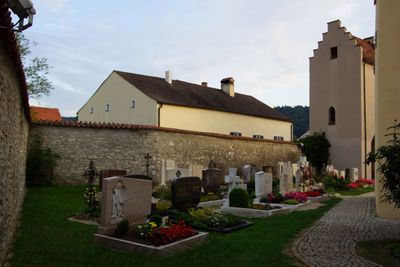
Churchyard wall, spätmittelalterlich
Location: Beilngries
Part of: Saint Vitus
Address: Alte Salzstraße 11,Alte Salzstraße 13
GPS coordinates: 49.02007,11.51851
Latest update: March 10, 2025 20:14
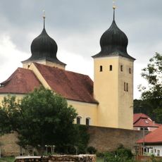
Saint Vitus
7 m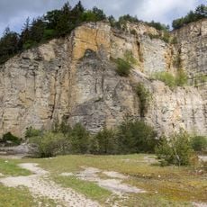
Steinbruch bei Kottingwörth
1.5 km
Arzberg
2.8 km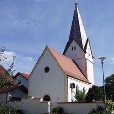
St. Ottmar
2.4 km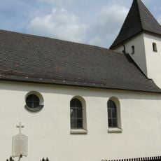
Saint Niclas
2.6 km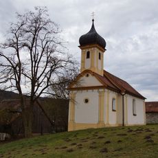
Saint Michael (Leising)
1.2 km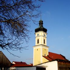
Saint Paul's Conversion (ensemble)
1.6 km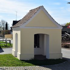
Saint Mary's chapel
1.7 km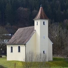
Katholische Filialkirche St. Johannes und Paulus
2.5 km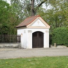
Holy Trinity chapel
1.4 km
Saint Barbara chapel
2.4 km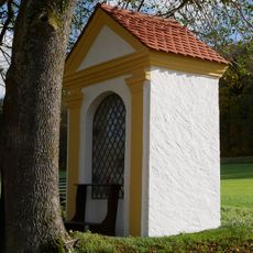
Field chapel in the Ried
2.7 km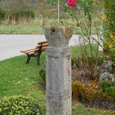
Stone pillar
421 m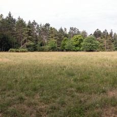
Arzberg bei Beilngries
2 km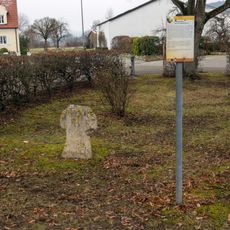
Stone cross
143 m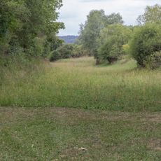
Abschnitt des Ludwig-Donau-Main-Kanals #07
2.3 km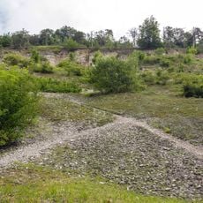
Aufgelassener Steinbruch am westlichen Arzberg
2.8 km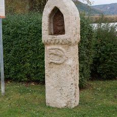
Wayside shrine
464 m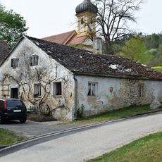
Farmhouse
1.2 km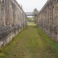
Schleuse 22 des Ludwig-Donau-Main-Kanals
2.4 km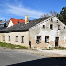
Former farmhouse
1.4 km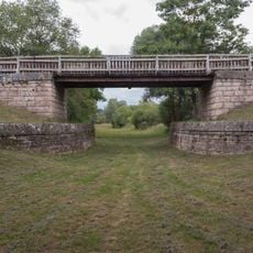
Brücke östlich der Schleuse 22
2.3 km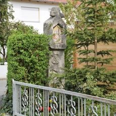
Wayside shrine
343 m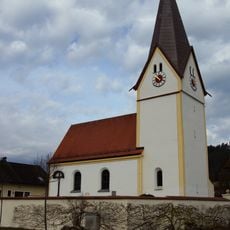
Cultural heritage D-3-6935-0137 in Dietfurt an der Altmühl
2.4 km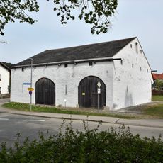
Trefferstadel
149 m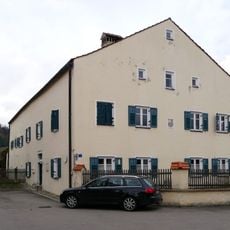
Presbytery
44 m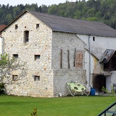
Former barn
161 m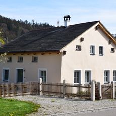
Ehemaliges Wohnstallhaus
2.4 kmVisited this place? Tap the stars to rate it and share your experience / photos with the community! Try now! You can cancel it anytime.
Discover hidden gems everywhere you go!
From secret cafés to breathtaking viewpoints, skip the crowded tourist spots and find places that match your style. Our app makes it easy with voice search, smart filtering, route optimization, and insider tips from travelers worldwide. Download now for the complete mobile experience.

A unique approach to discovering new places❞
— Le Figaro
All the places worth exploring❞
— France Info
A tailor-made excursion in just a few clicks❞
— 20 Minutes