
Niederdollendorf, Niederdollendorf as Samian Ware discovery site
Location: Niederdollendorf
Part of: Samian Research
GPS coordinates: 50.68333,7.18333
Latest update: May 23, 2025 02:56
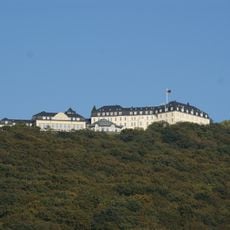
Hotel Petersberg
615 m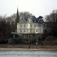
Heisterbachstraße 39
709 m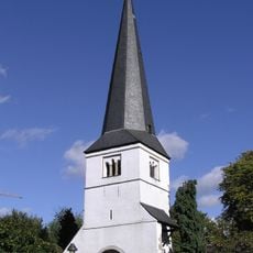
Kirchturm St. Andreas
783 m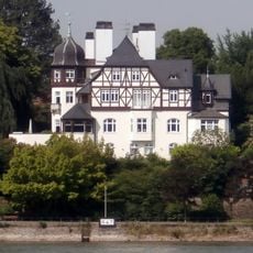
Basteistraße 18
759 m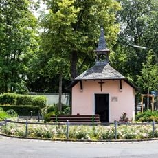
Marienkapelle Rüngsdorf
683 m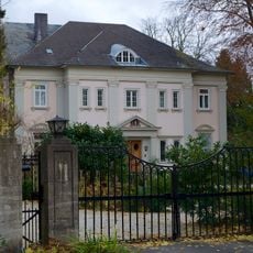
Rolandstraße 43
597 m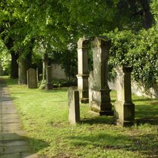
Jewish cemetery, Königswinter
813 m
Rheinstraße 33–35
747 m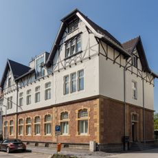
Hauptstraße 310
766 m
Hauptstraße 204/204a
464 m
Hauptstraße 190
589 m
Hauptstraße 200
494 m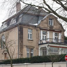
Friedrichsallee 15
636 m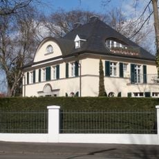
Rolandstraße 45
618 m
Hauptstraße 246
192 m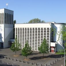
Maria Königin des Friedens
277 m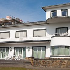
Friedrichsallee 14
605 m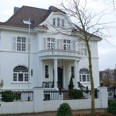
Rolandstraße 65
625 m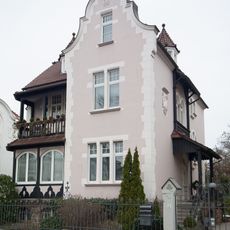
Hubertusstraße 2
239 m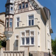
Rheinallee 18a
796 m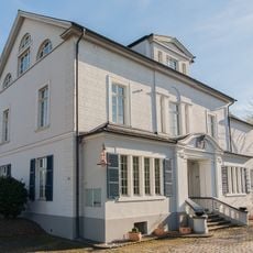
Hauptstraße 164
796 m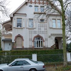
Rolandstraße 64
663 m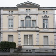
Hauptstraße 335
799 m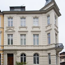
Hauptstraße 323
736 m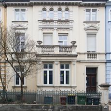
Hauptstraße 329
774 m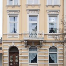
Hauptstraße 327
764 m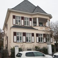
Hubertusstraße 1a
256 m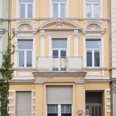
Hauptstraße 321
727 mReviews
Visited this place? Tap the stars to rate it and share your experience / photos with the community! Try now! You can cancel it anytime.
Discover hidden gems everywhere you go!
From secret cafés to breathtaking viewpoints, skip the crowded tourist spots and find places that match your style. Our app makes it easy with voice search, smart filtering, route optimization, and insider tips from travelers worldwide. Download now for the complete mobile experience.

A unique approach to discovering new places❞
— Le Figaro
All the places worth exploring❞
— France Info
A tailor-made excursion in just a few clicks❞
— 20 Minutes