
Oberes Tor, Torturm in Markgröningen
Location: Markgröningen
Inception: 1555
GPS coordinates: 48.90542,9.07798
Latest update: March 2, 2025 23:12

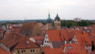
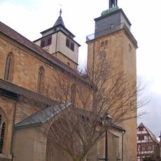
Bartholomäuskirche Markgröningen
274 m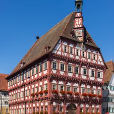
Rathaus Markgröningen
169 m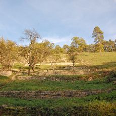
Leudelsbachtal
2.1 km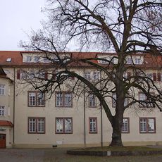
Helene-Lange-Gymnasium Markgröningen
47 m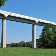
Glemstalbrücke (Markgröningen)
1.8 km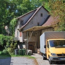
Mills in Markgröningen
530 m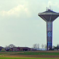
Wasserturm Markgröningen
885 m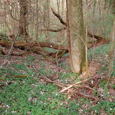
Bannwald Rotenacker
2.6 km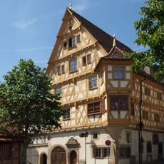
Wimpelinhof Markgröningen
24 m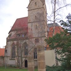
Heilig-Geist-Kirche
283 m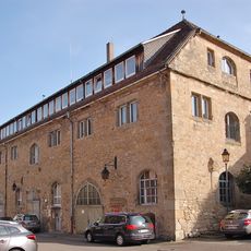
Untere Kelter (Markgröningen)
94 m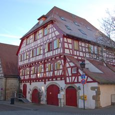
Landesfruchtkasten
78 m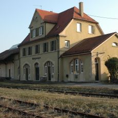
Markgröningen station
1.1 km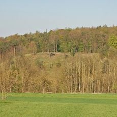
Hammelrain/Oberer Wannenberg
2.1 km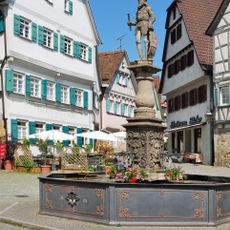
Marktbrunnen
189 m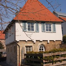
Leonhardskapelle Markgröningen
334 m
Ehemaliger Steinbruch
1.2 km
Lehmgrube am Stuttgarter Weg
1.1 km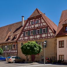
Pfarrhaus
286 m
Finstere Gasse 17
120 m
Kirchgasse 20
286 m
Kirchgasse 6
237 m
Marktplatz 4
184 m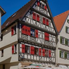
Marktplatz 5
197 m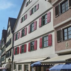
Ostergasse 1
213 m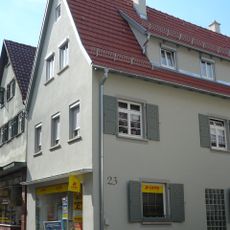
Ostergasse 23
327 m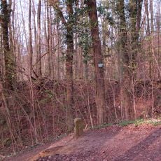
Rotenacker
2 km
Marktplatz 2
164 mReviews
Visited this place? Tap the stars to rate it and share your experience / photos with the community! Try now! You can cancel it anytime.
Discover hidden gems everywhere you go!
From secret cafés to breathtaking viewpoints, skip the crowded tourist spots and find places that match your style. Our app makes it easy with voice search, smart filtering, route optimization, and insider tips from travelers worldwide. Download now for the complete mobile experience.

A unique approach to discovering new places❞
— Le Figaro
All the places worth exploring❞
— France Info
A tailor-made excursion in just a few clicks❞
— 20 Minutes