Markgröningen, Medieval urban municipality in Ludwigsburg, Germany
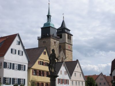
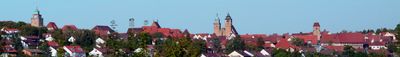
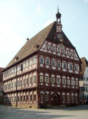
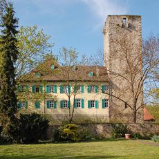
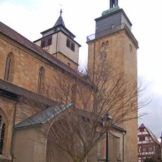
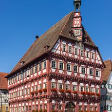
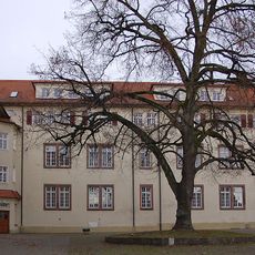
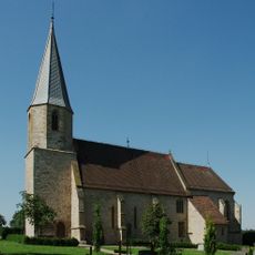
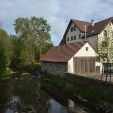
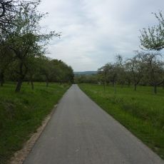
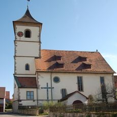
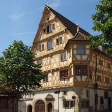
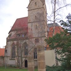
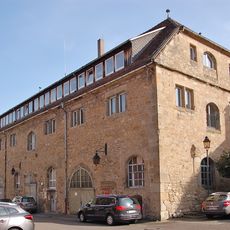
Markgröningen is a medieval town in Ludwigsburg District, Baden-Württemberg, situated along the Glems River northwest of Stuttgart. The town center features historic buildings and traditional architecture that shape its appearance and layout today.
The settlement first appeared in written records in 779 when land was given to the Monastery of Fulda, marking the beginning of its history. It gained town status in the 13th century, reflecting its growing importance as a regional center.
The Shepherds' Run festival brings locals and visitors together each August to celebrate the town's deep roots in pastoral traditions and rural heritage. The event reflects how shepherding shaped the community's identity and continues to define its character today.
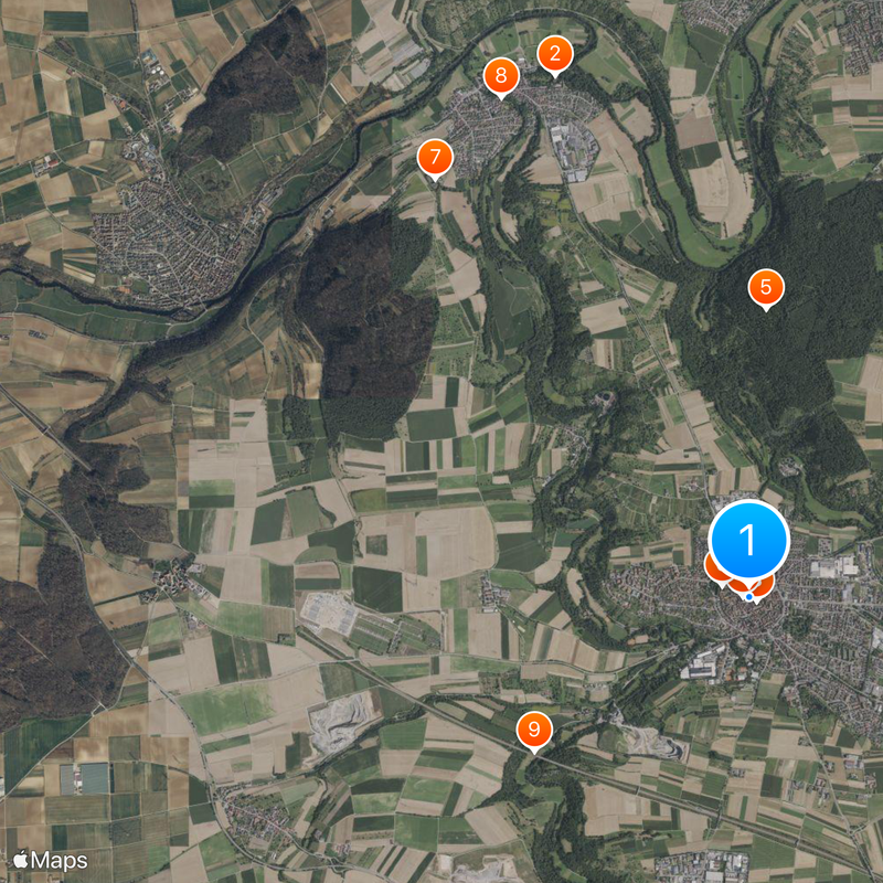
The town has regular transportation connections to Stuttgart and Ludwigsburg, making it easy to reach from both cities. The compact city center can be explored on foot, allowing visitors to see the main sights without difficulty.
For a brief period, the town held the status of a free imperial city and added the Imperial eagle to its coat of arms. This symbol visible on the town's seal remains a reminder of that rare historical honor.
The community of curious travelers
AroundUs brings together thousands of curated places, local tips, and hidden gems, enriched daily by 60,000 contributors worldwide.