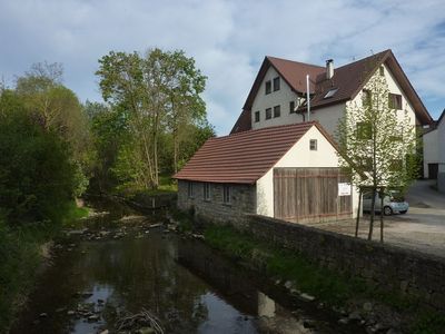
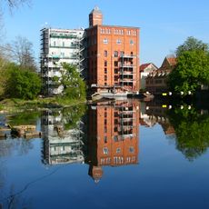
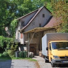
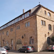
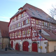
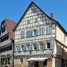
Bachmühle, Historic watermill in Unterriexingen, Germany.
The Bachmühle sits along the Glems River and features a 540-meter mill canal that carries water to power modern turbines. The structure combines visible mill buildings with contemporary equipment for generating electricity.
A mill in Unterriexingen appears in records from 1280, with Bachmühle itself first mentioned in documents from 1379. This early reference shows the long history of using water power at this location.
The mill represents how water power shaped daily work and community life for generations, remaining a symbol of this regional heritage. Visitors can see how such places connected people to nature and to each other through shared labor.
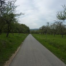
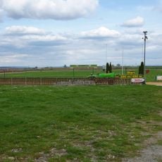
The site sits at the end of the Glemsmühlenweg walking trail, where you can see the remaining mill structures and read information boards about water power. The grounds are accessible on foot and offer clear views of the installation.
An Ossberger turbine installed in 1971 still powers electricity generation today, showing how traditional mills adapted to modern times. This equipment preserves the site's original purpose while using entirely new technology.
Location: Unterriexingen
GPS coordinates: 48.93740,9.05643
Latest update: December 14, 2025 18:13
Schloss Unterriexingen
425 m
Altsachsenheim
2.3 km
Leudelsbachtal
2.4 km
Rommelmühle
3.3 km
Schloss Großsachsenheim
2.7 km
Helene-Lange-Gymnasium Markgröningen
3.9 km
St. Fabian und Sebastian
2.5 km
Frauenkirche Unterriexingen
755 m
Kilianskirche
3.1 km
Mills in Markgröningen
4 km
Enztal zwischen dem Leinfelder Hof und Bietigheim-Bissingen sowie Glems- und Leudelsbachtal unterhalb Markgröningen mit angrenzenden Gebieten (insbesondere Ottern-, Berg- und Siegental, Muckenschupf und Rotenacker Wald)
1.4 km
Pfarrkirche Unterriexingen
137 m
Wasserturm Markgröningen
3.1 km
Bannwald Rotenacker
2.2 km
Wimpelinhof Markgröningen
3.9 km
Sachsenheim-Ring
1.3 km
Untere Kelter (Markgröningen)
3.9 km
Landesfruchtkasten
3.9 km
Altes Pfarrhaus
167 m
Pflanzenstandort "Bühl"
2.5 km
Oberes Tor
3.9 km
Hammelrain/Oberer Wannenberg
2.2 km
Hohlweg "Frauenklinge"
687 m
Rotenacker
2.7 km
Sukzessionsfläche und Tümpel "Ob dem Hart"
1.8 km
Tümpel beim ehem. Remmigheim
2 km
Enzinsel "Wörth" mit Altarm
2 km
Marktplatz 4
4 kmVisited this place? Tap the stars to rate it and share your experience / photos with the community! Try now! You can cancel it anytime.
Discover hidden gems everywhere you go!
From secret cafés to breathtaking viewpoints, skip the crowded tourist spots and find places that match your style. Our app makes it easy with voice search, smart filtering, route optimization, and insider tips from travelers worldwide. Download now for the complete mobile experience.
A unique approach to discovering new places❞
— Le Figaro
All the places worth exploring❞
— France Info
A tailor-made excursion in just a few clicks❞
— 20 Minutes