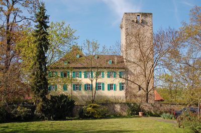
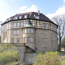
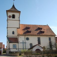
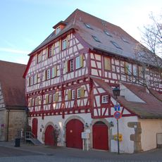
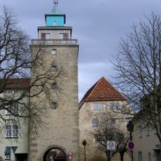
Schloss Unterriexingen, Medieval castle in Markgröningen, Germany
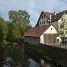
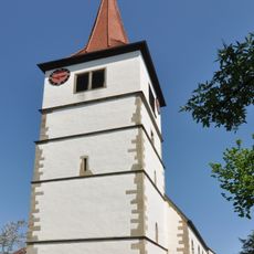
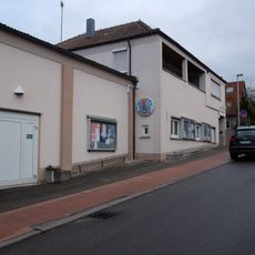
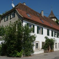
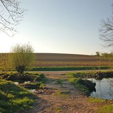
Schloss Unterriexingen is a stone fortress situated on a raised terrace in the Enz Valley, distinguished by its massive square tower. The property includes a park and garden area with several historic outbuildings distributed across the grounds.
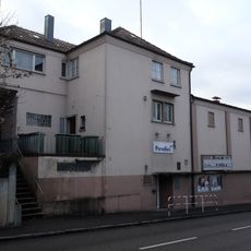
The site originated around 1100 as a Staufen fortification and underwent expansion in subsequent centuries. Significant architectural reworking occurred in the early 1800s when contemporary design elements were introduced.
The location served as a residence for noble families and shaped the region's identity for centuries. The buildings and grounds reflect how such fortifications anchored the political and economic life of their time.
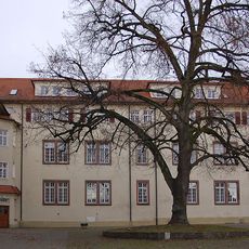
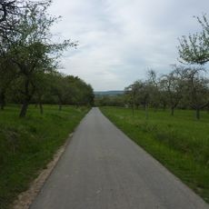
When visiting, note that the site operates as a private business with restricted access that typically requires advance arrangements or special occasions. The grounds offer walking paths, and parking is available near the village edge.
Today the grounds operate as a specialized animal boarding hotel that accommodates and cares for dogs, cats, birds, and small mammals. This unexpected modern use has given the historical location an entirely new purpose.
Location: Markgröningen
GPS coordinates: 48.93880,9.06183
Latest update: December 8, 2025 21:03
Altsachsenheim
1.9 km
Leudelsbachtal
2.3 km
Rommelmühle
2.9 km
Schloss Großsachsenheim
2.4 km
Helene-Lange-Gymnasium Markgröningen
3.9 km
St. Fabian und Sebastian
2.3 km
Frauenkirche Unterriexingen
1.1 km
Bachmühle
425 m
Kilianskirche
2.7 km
Michaelskirche (Metterzimmern)
3.9 km
Enztal zwischen dem Leinfelder Hof und Bietigheim-Bissingen sowie Glems- und Leudelsbachtal unterhalb Markgröningen mit angrenzenden Gebieten (insbesondere Ottern-, Berg- und Siegental, Muckenschupf und Rotenacker Wald)
1.7 km
Pfarrkirche Unterriexingen
561 m
Wasserturm Markgröningen
3.1 km
Bannwald Rotenacker
2 km
Sachsenheim-Ring
1.2 km
Olympia-Lichtspiele
3.9 km
Paradies-Lichtspiele
3.9 km
Landesfruchtkasten
3.9 km
Altes Pfarrhaus
591 m
Oberes Tor
3.9 km
Hammelrain/Oberer Wannenberg
2 km
Pflanzenstandort "Bühl"
2.9 km
Hohlweg "Frauenklinge"
1 km
Enzinsel "Wörth" mit Altarm
1.8 km
Ehemaliger Steinbruch
3.9 km
Rotenacker
2.5 km
Sukzessionsfläche und Tümpel "Ob dem Hart"
2 km
Tümpel beim ehem. Remmigheim
1.7 kmVisited this place? Tap the stars to rate it and share your experience / photos with the community! Try now! You can cancel it anytime.
Discover hidden gems everywhere you go!
From secret cafés to breathtaking viewpoints, skip the crowded tourist spots and find places that match your style. Our app makes it easy with voice search, smart filtering, route optimization, and insider tips from travelers worldwide. Download now for the complete mobile experience.
A unique approach to discovering new places❞
— Le Figaro
All the places worth exploring❞
— France Info
A tailor-made excursion in just a few clicks❞
— 20 Minutes