
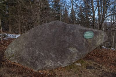
Findling Grauer Stein bei Oberaudorf, Geotop in Landkreis Rosenheim in Bavaria, Germany
Location: Oberaudorf
Elevation above the sea: 726 m
Length: 4 m
Width: 3 m
Website: http://www.umweltatlas.bayern.de/mapapps/resources/reports/geotope/generateBericht.pdf?additionallayerfieldvalue=187R007
GPS coordinates: 47.66629,12.15818
Latest update: March 5, 2025 12:58
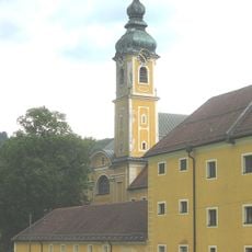
Reisach Priory
1.4 km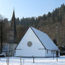
Auferstehungskirche
1.6 km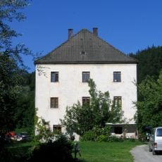
Altes Schloss Urfahrn
1.7 km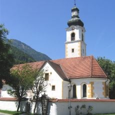
Katholische Filialkirche St. Michael
761 m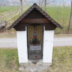
Johanneskapelle, Erl
1.9 km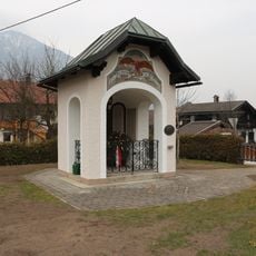
Kriegerdenkmal Erl
2.1 km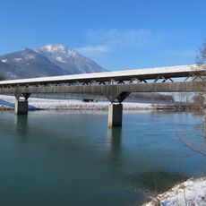
Zollhausbrücke
2 km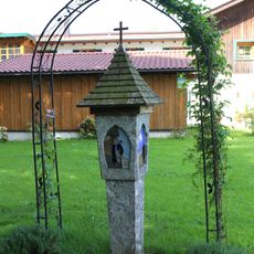
Bildstock beim Scherlinhof
2.2 km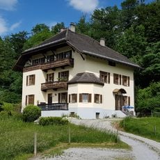
Mühlgraben 5
2 km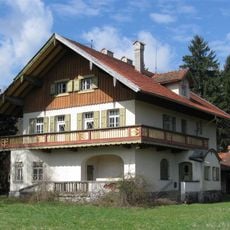
Rosenheimer Straße 79
1.2 km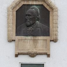
Gedenktafel Adolf Pichler, Erl
2.1 km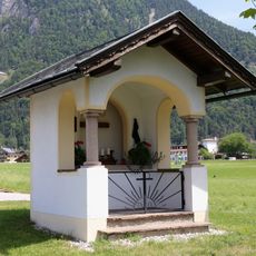
Riedlkapelle
2 km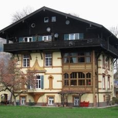
Rosenheimer Straße 59
1.6 km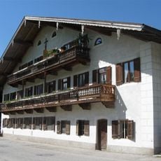
Urfahrnstraße 10
1.6 km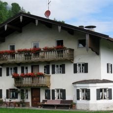
Bergstraße 2
675 m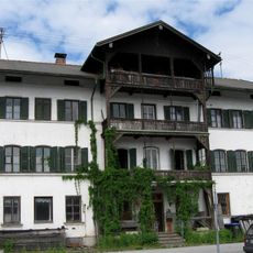
Bahnhofplatz 3
1.9 km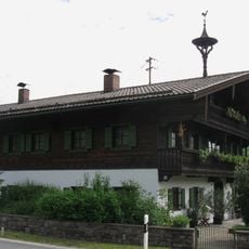
Bauernhaus, Einfirsthof
1.1 km
Rosenheimer Straße 108
885 m
Figurenbildstock Nepomuk, Erl
2.1 km
Villa, jetzt Sitz der Riemerschmidstiftung
1.5 km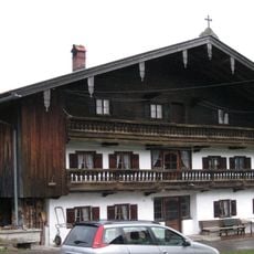
Brechhütte
2.1 km
Tatzelwurmstraße 40
532 m
Bauernhaus, Einfirsthof
933 m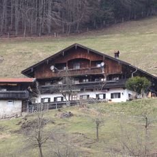
Schindlberg 2
519 m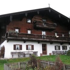
Eck 6
2.1 km
Dorfstraße 5
750 m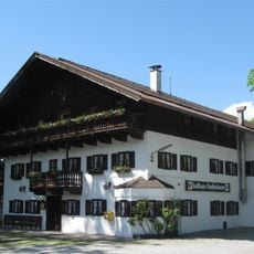
Innstraße 40
1.7 km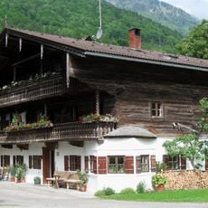
Dorfstraße 13
759 mReviews
Visited this place? Tap the stars to rate it and share your experience / photos with the community! Try now! You can cancel it anytime.
Discover hidden gems everywhere you go!
From secret cafés to breathtaking viewpoints, skip the crowded tourist spots and find places that match your style. Our app makes it easy with voice search, smart filtering, route optimization, and insider tips from travelers worldwide. Download now for the complete mobile experience.

A unique approach to discovering new places❞
— Le Figaro
All the places worth exploring❞
— France Info
A tailor-made excursion in just a few clicks❞
— 20 Minutes