
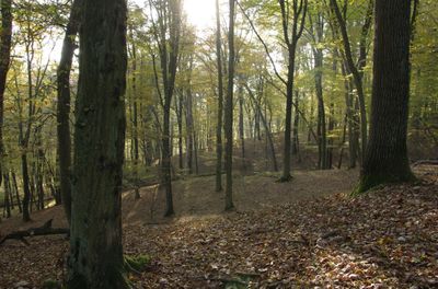
Blumenthal, protected area in the European Union defined by the habitats directive in Brandenburg, Germany
Location: Prötzel
Inception: 1998
GPS coordinates: 52.65613,13.91698
Latest update: April 2, 2025 21:07
Harnekop Bunker
6.2 km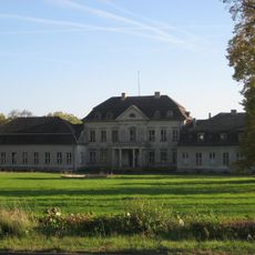
Schlossanlage Prötzel
5.3 km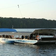
Straussee Ferry
8.7 km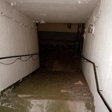
Bunker Strausberg
7 km
Schloss Wilkendorf
5.3 km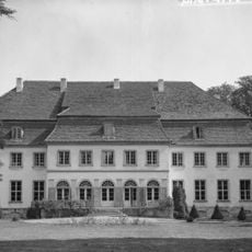
Schloss Harnekop
7.1 km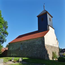
Village church Wollenberg
8.7 km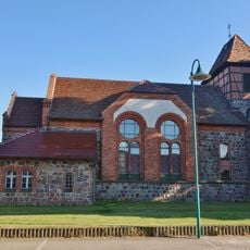
Village church Steinbeck
5.8 km
Heidekrug
4.2 km
Friedrich-Schiller-Höhe
7.3 km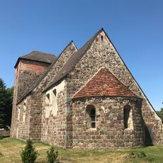
Village church Klosterdorf (Oberbarnim)
7.6 km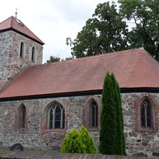
Dorfkirche Wilkendorf
5 km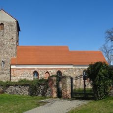
Village church Hirschfelde
8.3 km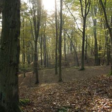
Blumenthal
426 m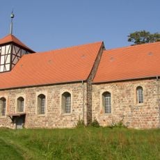
Village church in Gielsdorf
6.2 km
Provinzialsiedlung
7.5 km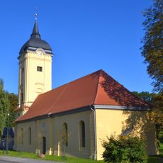
Village church Prötzel
5.1 km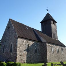
Church in Leuenberg
5.7 km
Camp Heidekrug
4.3 km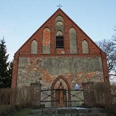
Harnekop church
7.2 km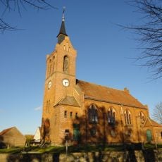
Dorfkirche Freudenberg
8.3 km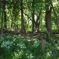
Leuenberger Soll
5 km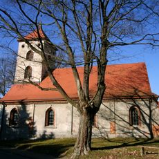
Village church Sternebeck
5.5 km
Heinrich-Mann-Bibliothek / Stadtbibliothek Strausberg
8.8 km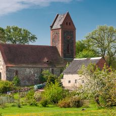
Village church Prädikow
7.1 km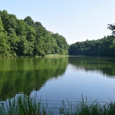
Gamengrund
5 km
Kulturhaus Strausberg
8.2 km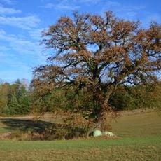
Naturdenkmal Huteeiche und Tränke Biesow Auf freiem Feld ca. 550 m nordöstlich von Biesow unmittelbar neben Kleingewässer in Prötzel
3.4 kmReviews
Visited this place? Tap the stars to rate it and share your experience / photos with the community! Try now! You can cancel it anytime.
Discover hidden gems everywhere you go!
From secret cafés to breathtaking viewpoints, skip the crowded tourist spots and find places that match your style. Our app makes it easy with voice search, smart filtering, route optimization, and insider tips from travelers worldwide. Download now for the complete mobile experience.

A unique approach to discovering new places❞
— Le Figaro
All the places worth exploring❞
— France Info
A tailor-made excursion in just a few clicks❞
— 20 Minutes