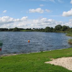
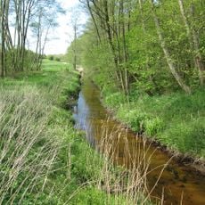
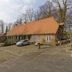
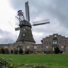
Wälder der Hüttener Berge, Special Area of Conservation in the Hüttener Berge, Schleswig-Holstein, Germany
The Wälder der Hüttener Berge is a 416-hectare Special Area of Conservation made up of eleven separate forest blocks, all part of the Rendsburg State Forest. It stretches 8.2 kilometres from south of the B 76 near Ascheffel to the southern shore of the Bistensee. Nearly the whole area is broadleaf forest, mostly beech, on the southern slope of a Weichselian terminal moraine.
The standard data sheet was compiled in May 2004, the area was proposed as a Site of Community Importance in September 2004, confirmed by the EU in October 2007 and nationally designated in January 2010. The management plan was published on 10 December 2013. Most of the forest was already recorded in 1805 on a map by the Danish cartographer Johann Heinrich Christian du Plat.
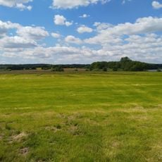
The forests serve as a recreation space for people from the region who come here to walk and observe nature. Many visitors use the open meadow areas and forest edges to escape their daily routines.
Several marked hiking trails run through the protected area and allow visitors to explore the different landscapes. Information boards in the individual municipalities help with orientation and provide insights into the nature.
The highest point of the protected area is the Heidberg at 98.3 metres above sea level, on the eastern edge of the Brekendorf forest in the middle of the Hüttener Berge. The lowest point, 6 metres, lies at the eastern edge of the Krummland enclosure. The whole area covers 416 hectares in eleven separate forest blocks.
The community of curious travelers
AroundUs brings together thousands of curated places, local tips, and hidden gems, enriched daily by 93,649 contributors worldwide.