
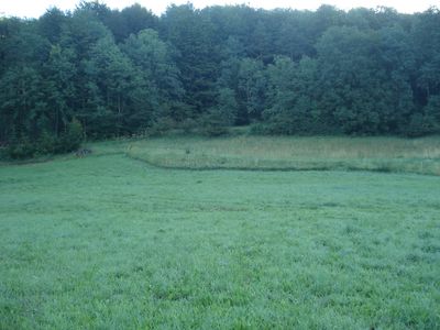
Albtrauf im Landkreis Lichtenfels, protected area in the European Union defined by the habitats directive in Bayern, Germany
Location: Lichtenfels
Inception: 2004
GPS coordinates: 50.06722,11.06156
Latest update: April 30, 2025 16:35
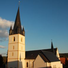
St. Johannes der Täufer
2.3 km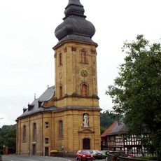
St. Ägidius
350 m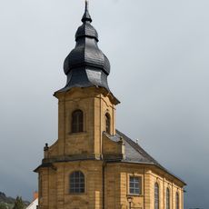
St. Nikolaus und St. Gumbertus (Stublang)
1.9 km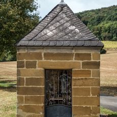
Wegkapelle
2 km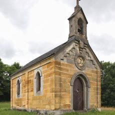
Ausstattung
1.5 km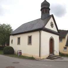
Katholisch
2.6 km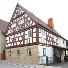
Cultural heritage D-4-78-165-210 in Bad Staffelstein
784 m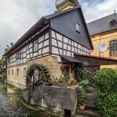
Mühle
352 m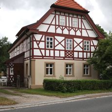
Wohnhaus
1.1 km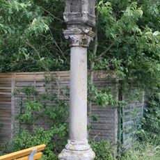
Bildstock
2.4 km
Mühle
2.4 km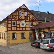
Wohnhaus
1.1 km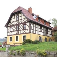
Cultural heritage D-4-78-165-136 in Bad Staffelstein
2.1 km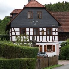
Mühle
867 m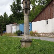
Bildstock
1.5 km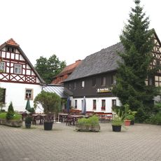
Gasthaus
2.3 km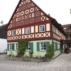
Cultural heritage D-4-78-165-208 in Bad Staffelstein
749 m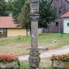
Bildstock
2.6 km
Bürgerzentrum
2.1 km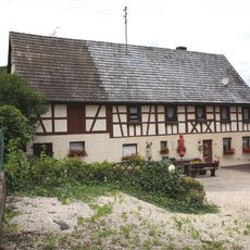
Wohnstallhaus
1.5 km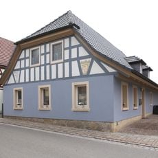
Cultural heritage D-4-78-165-209 in Bad Staffelstein
770 m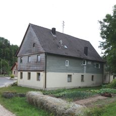
Cultural heritage D-4-78-165-163 in Bad Staffelstein
1.5 km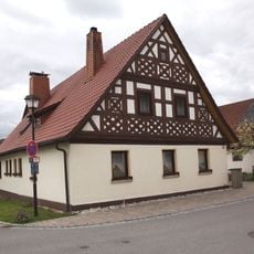
Cultural heritage D-4-78-165-211 in Bad Staffelstein
827 m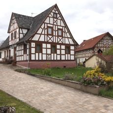
Wohnhaus
869 m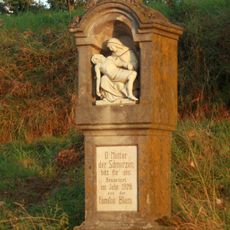
Bildstock
2 km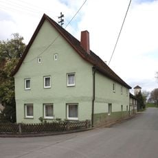
Wohnstallhaus
2.6 km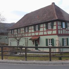
Cultural heritage D-4-78-165-123 in Bad Staffelstein
1.2 km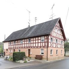
Cultural heritage D-4-78-165-218 in Bad Staffelstein
2.6 kmVisited this place? Tap the stars to rate it and share your experience / photos with the community! Try now! You can cancel it anytime.
Discover hidden gems everywhere you go!
From secret cafés to breathtaking viewpoints, skip the crowded tourist spots and find places that match your style. Our app makes it easy with voice search, smart filtering, route optimization, and insider tips from travelers worldwide. Download now for the complete mobile experience.

A unique approach to discovering new places❞
— Le Figaro
All the places worth exploring❞
— France Info
A tailor-made excursion in just a few clicks❞
— 20 Minutes