
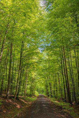
Haßbergetrauf von Königsberg bis Stadtlauringen, protected area in the European Union defined by the habitats directive in Bayern, Germany
Location: Schweinfurt
Location: Haßberge
Inception: 2004
GPS coordinates: 50.15568,10.46956
Latest update: March 8, 2025 02:04
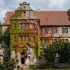
Schloss
1.5 km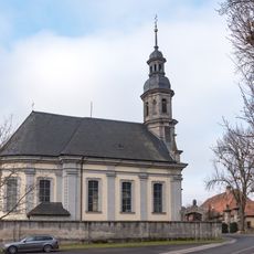
Pfarrkirche
1.5 km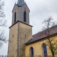
Pfarrkirche
1.6 km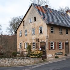
Wohnhaus
1.5 km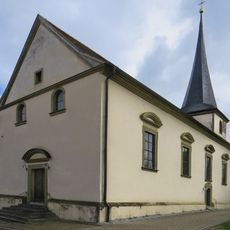
Pfarrkirche
2 km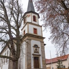
Pfarrkirche
842 m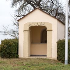
Wegkapelle
840 m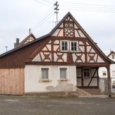
Dorfschmiede
863 m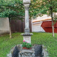
Bildstock
2 km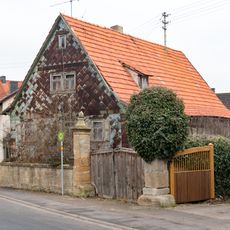
Wohnstallhaus
873 m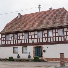
Bauernhaus
1.7 km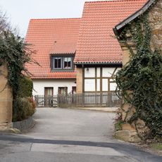
Pfarrhaus
903 m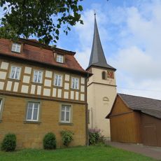
Pfarrhaus
2 km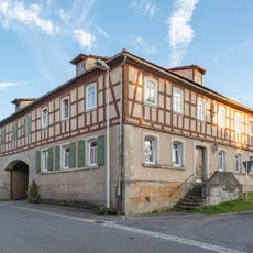
Wohnhaus
2 km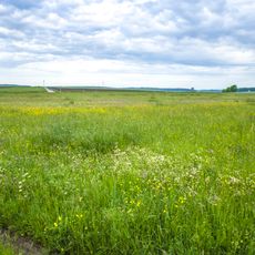
Geißleraue und Aurachwiesen bei Ostheim
1.7 km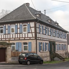
Wohnhaus
1.6 km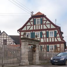
Wohnhaus
1.4 km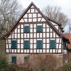
Bauernhaus
1.6 km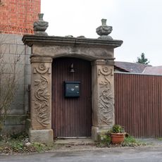
Hoftor
925 m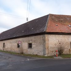
Schlossökonomie Friesenhausen
1.5 km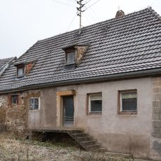
Bauernhaus
1 km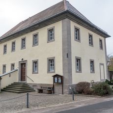
Pfarrhaus
1.5 km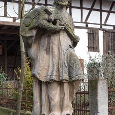
Standbild
1.5 km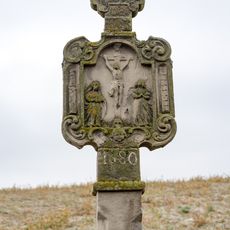
Säulenbildstock
656 m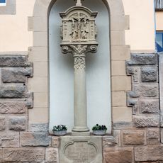
Bildstock
820 m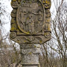
Säulenbildstock
1.9 km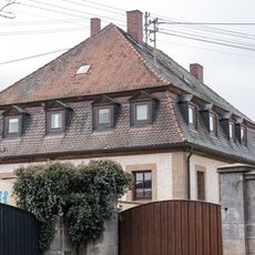
Bauernhaus
1.4 km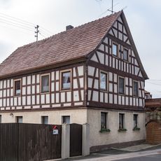
Wohnhaus
1.5 kmReviews
Visited this place? Tap the stars to rate it and share your experience / photos with the community! Try now! You can cancel it anytime.
Discover hidden gems everywhere you go!
From secret cafés to breathtaking viewpoints, skip the crowded tourist spots and find places that match your style. Our app makes it easy with voice search, smart filtering, route optimization, and insider tips from travelers worldwide. Download now for the complete mobile experience.

A unique approach to discovering new places❞
— Le Figaro
All the places worth exploring❞
— France Info
A tailor-made excursion in just a few clicks❞
— 20 Minutes