
Isarmündung, protected area in the European Union defined by the habitats directive in Bayern, Germany
Location: Deggendorf
Inception: 2001
GPS coordinates: 48.78583,12.94261
Latest update: March 3, 2025 06:49

Bezirksklinikum Mainkofen
4.1 km
Schloss Moos
4.1 km
Deggenau Danube bridge
3.3 km
St. Jakob (Plattling)
4.1 km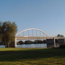
Fischerdorf motorway bridge
4.7 km
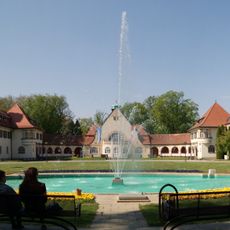
Elypso
4.5 km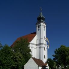
Mariä Heimsuchung (Rettenbach)
4.8 km
Evangelist Johannes
4 km
Katholische Pfarrkirche St. Simon und Judas Thaddäus
4.6 km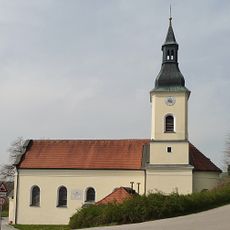
Wallfahrtskirche zur Schmerzhaften Muttergottes Halbmeile
4.1 km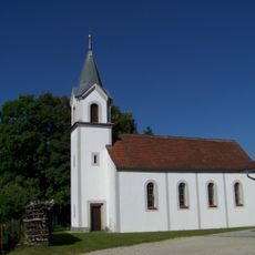
St. Anna
4.7 km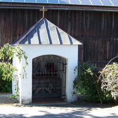
Kapelle
4.7 km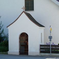
Kapelle
4.7 km
Schutz von Landschaftsteilen an der Isar und deren Mündungsgebiet im Landkreis Deggendorf (LSG Untere Isar)
2.2 km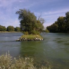
Isarmündung
1.6 km
Altlaufsenke zwischen äußerem Mühlgraben und Kühmoos
1.9 km
Isarmündung
1.7 km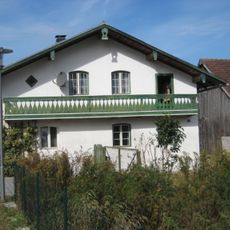
Wohnstallhaus
4.3 km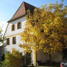
Ehemals Mauthaus
4.7 km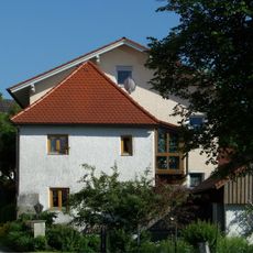
Ehemals Zuhaus
4.8 km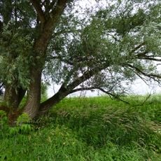
Donau zwischen Straubing und Vilshofen
3.8 km
Donauauen zwischen Straubing und Vilshofen
3 km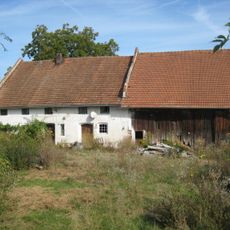
Einfirsthof
4.4 km
Ehemals Wohnstallhaus
4.8 km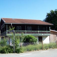
Wohnstallhaus
4.7 km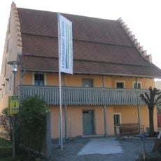
Ehemals Schiffmeisterhaus
4.7 km
Karner
4 km
Herzog Albrecht Brücke
4.6 kmReviews
Visited this place? Tap the stars to rate it and share your experience / photos with the community! Try now! You can cancel it anytime.
Discover hidden gems everywhere you go!
From secret cafés to breathtaking viewpoints, skip the crowded tourist spots and find places that match your style. Our app makes it easy with voice search, smart filtering, route optimization, and insider tips from travelers worldwide. Download now for the complete mobile experience.

A unique approach to discovering new places❞
— Le Figaro
All the places worth exploring❞
— France Info
A tailor-made excursion in just a few clicks❞
— 20 Minutes