
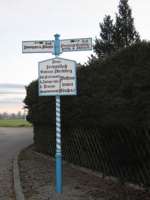
Historical fingerposts in Oberhaching
Location: Oberhaching
Inception: 1860s
GPS coordinates: 47.97190,11.56273
Latest update: March 25, 2025 01:03
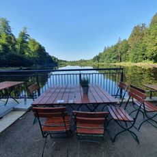
Waldhaus Deininger Weiher
2.9 km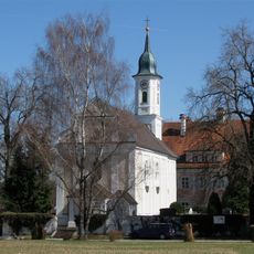
Heilig-Kreuz-Kirche (Kreuzpullach)
2.3 km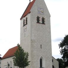
St. Margaret
2.4 km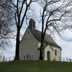
Kapelle St. Georg (Eulenschwang)
2.7 km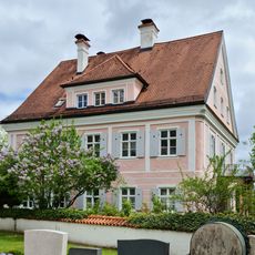
Schlösschen (Kreuzpullach)
2.3 km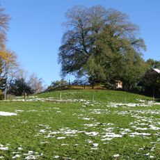
Burgstall Eulenschwang
2.6 km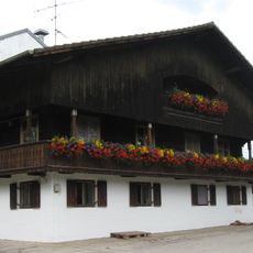
Ödenpullach 3
2.4 km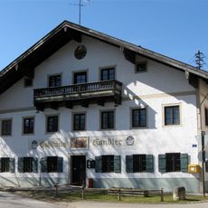
Kirchplatz 1
1.2 km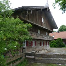
Jettenhausen 3
1.3 km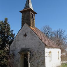
Farmhouse chapel Gerblinghausen
260 m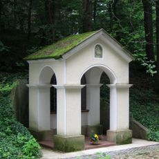
Wayside chapel St George
2.3 km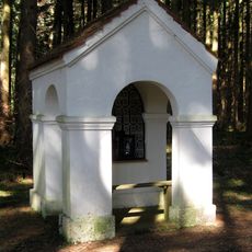
Wayside chapel Jettenhausen
1.2 km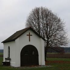
Feldkapelle zur unbefleckten Empfängnis Mariens
2.9 km
LSG Südliches Gleißental im Gebiet der Gemeinden Dingharting und Oberbiberg
1.7 km
Kirche
2.3 km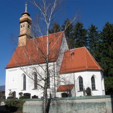
Mariä Geburt
1.2 km
Dietramszeller Straße 1
1.2 km
Bauernweg 4
251 m
Hauptstraße 2
2.7 km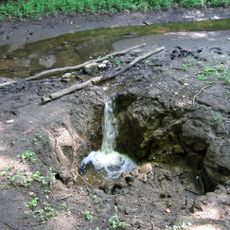
Bachschwinde Gleißental SE von Großdingharting
2.5 km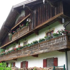
Stauchartinger Weg 2
1.2 km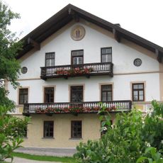
Oberbiberger Straße 12
2.3 km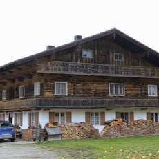
Eichenhausener Straße 1
2.7 km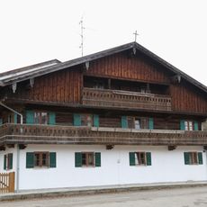
Eichenhausener Straße 2
2.7 km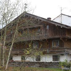
Jochamweg 3
1.6 km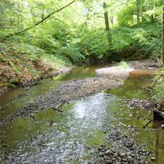
Gleißenbach
2.9 km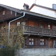
Oberbiberger Straße 1
2.6 km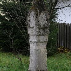
Bildstock Hölleinweg
2.5 kmReviews
Visited this place? Tap the stars to rate it and share your experience / photos with the community! Try now! You can cancel it anytime.
Discover hidden gems everywhere you go!
From secret cafés to breathtaking viewpoints, skip the crowded tourist spots and find places that match your style. Our app makes it easy with voice search, smart filtering, route optimization, and insider tips from travelers worldwide. Download now for the complete mobile experience.

A unique approach to discovering new places❞
— Le Figaro
All the places worth exploring❞
— France Info
A tailor-made excursion in just a few clicks❞
— 20 Minutes