
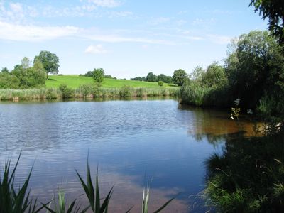
Moor- und Drumlinlandschaft zwischen Hohenkasten und Antdorf, protected area in the European Union defined by the habitats directive in Bayern, Germany
Location: Weilheim-Schongau
Inception: 2000
GPS coordinates: 47.76155,11.25664
Latest update: March 2, 2025 21:30
Schloss Hohenberg
4.7 km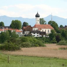
St. Vitus
4.7 km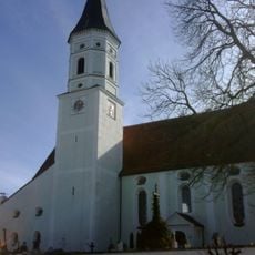
St. Ulrich (Habach)
4.1 km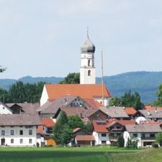
St. Peter und Paul
3.9 km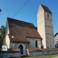
Mariä Himmelfahrt
4.6 km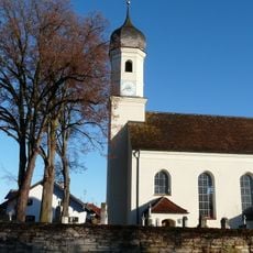
St. Peter u. Paul
4.1 km
St. Margaretha
4.3 km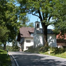
Kapelle
2.2 km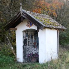
Wegkapelle
3.2 km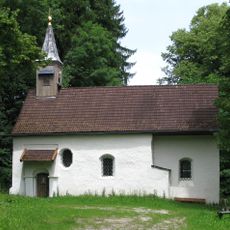
Pollingsrieder Kapelle
3.7 km
St. Maria
3.2 km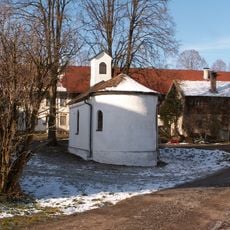
Ortskapelle
3.7 km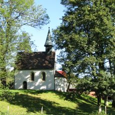
Kapelle St. Maria Magdalena
4.7 km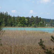
Schutz der Osterseen und ihrer Umgebung in den Gemeinden Frauenrain, Iffeldorf und Seeshaupt
4.1 km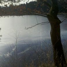
LSG Hohenkastener Filz mit Stadler Weiher und Mühlgraben, Eberfing
2.1 km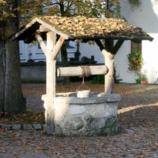
Brunnenschacht
4.7 km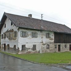
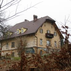
Ehemaliger Bauernhof, sogenannt Beim Huppenberger
4.1 km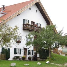
Ehemaliger Einfirsthof, sogenannt Beim Pöck
3.9 km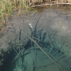
Quelltopf Blaue Gumpe
4.2 km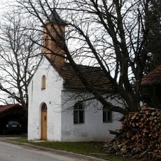
St. Leonhard
4 km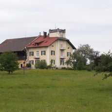
Bauernhaus
1.5 km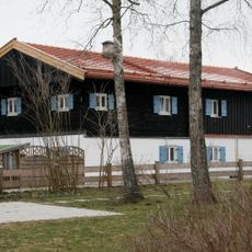
Stopslschneider
4.6 km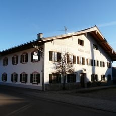
Gasthof
4 km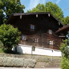
Ehemaliges Kleinbauernhaus, sogenannte Pfaderer-Sölde
4 km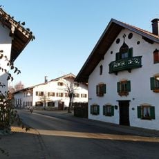
Bauernhaus
4.1 km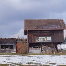
Ehemaliger Getreidekasten
2.6 km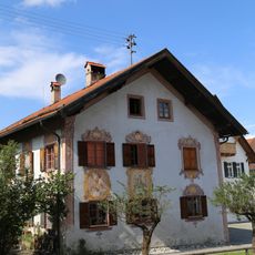
Ehem. Stiftshaus
4 km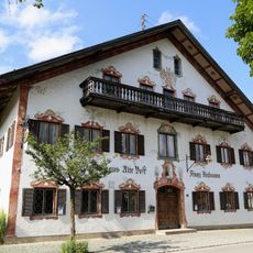
Alte Post
4 kmVisited this place? Tap the stars to rate it and share your experience / photos with the community! Try now! You can cancel it anytime.
Discover hidden gems everywhere you go!
From secret cafés to breathtaking viewpoints, skip the crowded tourist spots and find places that match your style. Our app makes it easy with voice search, smart filtering, route optimization, and insider tips from travelers worldwide. Download now for the complete mobile experience.

A unique approach to discovering new places❞
— Le Figaro
All the places worth exploring❞
— France Info
A tailor-made excursion in just a few clicks❞
— 20 Minutes