
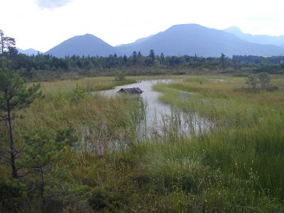
Moore um Raubling, protected area in the European Union defined by the habitats directive in Bayern, Germany
Location: Rosenheim
Inception: 2004
GPS coordinates: 47.78379,12.05980
Latest update: March 5, 2025 07:05
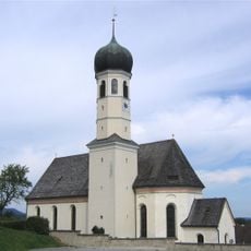
St. Michael (Litzldorf)
2.6 km
Cultural heritage D-1-8238-0250 in Bad Feilnbach
3.2 km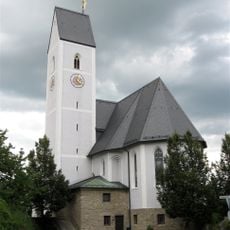
St. Ursula
3.7 km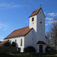
St. Theresia von Lisieux (Nicklheim)
1.6 km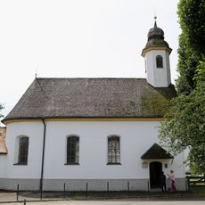
St. Johannes Baptist
1.8 km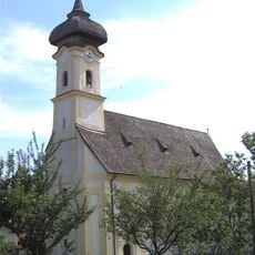
St. Laurentius
2.5 km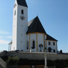
Pfarrkirche St. Georg (Großholzhausen)
2.5 km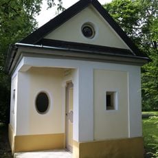
Pestkapelle
3 km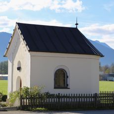
Kapelle an der Nicklheimer Straße
3.4 km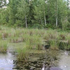
LSG Hochrunstfilze
1.9 km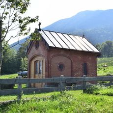
Lourdeskapelle
2.6 km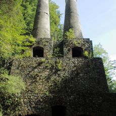
Historisches Zementwerk Litzldorf
3.2 km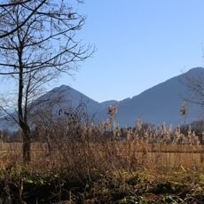
Auer Weidmoos mit Kalten und Kaltenaue
3.4 km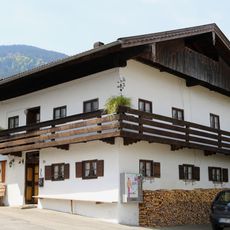
Bauernhaus
2.6 km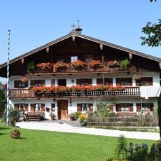
Bauernhaus
2.7 km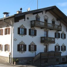
Wohnteil des Bauernhauses zum Walch
3.3 km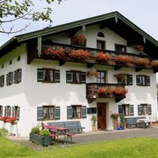
Kirchdorfer Straße 21
2.4 km
Pestkreuz
2.9 km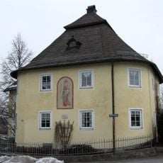
Kufsteiner Straße 83
3.7 km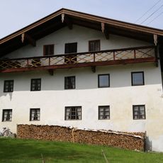
Bauernhaus
1.7 km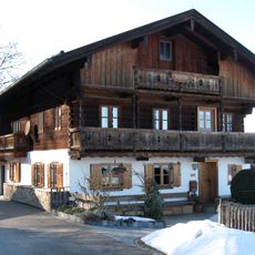
Ehemaliges Bauernhaus
3.5 km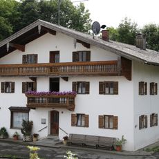
Tegernseer Straße 1
2.5 km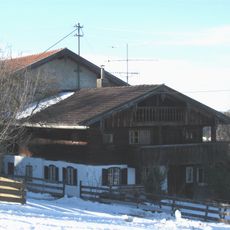
Wohnteil des Bauernhauses, sogenanntes Schneidergütl, um 1900 Atelier von Johann Sperl
3.2 km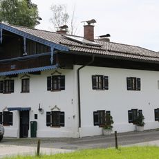
Ehemals Kleinbauernhaus
2.6 km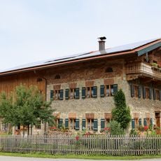
Schullerstraße 16
2.5 km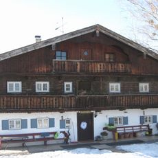
Wilhelm-Leibl-Straße 22
3.3 km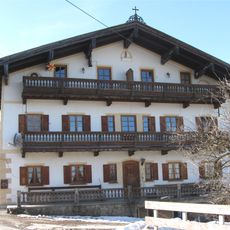
Bauernhaus, Einfirsthof, sogenanntes Bauernhaus Zum Hansen
3.3 km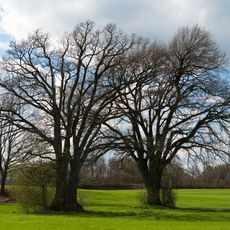
Eichenpaar Kirchdorf am Inn
3.7 kmReviews
Visited this place? Tap the stars to rate it and share your experience / photos with the community! Try now! You can cancel it anytime.
Discover hidden gems everywhere you go!
From secret cafés to breathtaking viewpoints, skip the crowded tourist spots and find places that match your style. Our app makes it easy with voice search, smart filtering, route optimization, and insider tips from travelers worldwide. Download now for the complete mobile experience.

A unique approach to discovering new places❞
— Le Figaro
All the places worth exploring❞
— France Info
A tailor-made excursion in just a few clicks❞
— 20 Minutes