
Naturschutzgebiet 'Bannwaldsee', protected area in the European Union defined by the habitats directive in Bayern, Germany
Location: Ostallgäu
Inception: 1998
GPS coordinates: 47.60674,10.77561
Latest update: March 13, 2025 23:43


Buchenberg
2.6 km
Buchenberg
2.7 km
St. Michael
2.8 km
Bannwaldsee
359 m
Kleinbauernhaus
2.7 km
Bauernhaus
1.4 km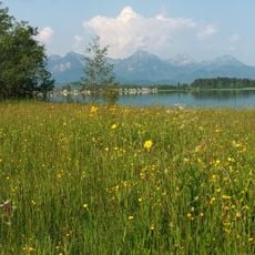
Halbtrockenrasen am Forggensee
2.4 km
Kleinbauernhaus
2.7 km
Trinity Chapel
2.7 km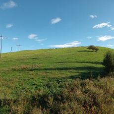
Vogelberg
1.7 km
Bauernhaus
2.7 km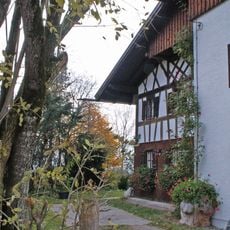
Bauernhaus
2.2 km
Maria am Weg
2.4 km
Wayside chapel, Bayerniederhofen cemetery
2.8 km
Kuoner wayside shrine
2.8 km
Bauernhaus
2.7 km
Chapel of the Visitation
2.8 km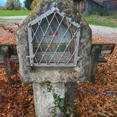
Wayside shrine Wieselegüterweg
2.4 km
Bauernhaus
2.7 km
Bauernhaus
2.7 km
Bauernhaus
2.7 km
Bauernhaus
2.8 km
Bauernhaus
2.8 km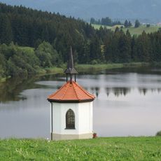
Hofkapelle
1.4 km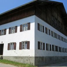
Bauernhaus
2.8 km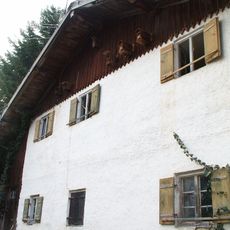
Bauernhaus
2.8 km
Bauernhaus
2.8 km
Bauernhaus
2.7 kmReviews
Visited this place? Tap the stars to rate it and share your experience / photos with the community! Try now! You can cancel it anytime.
Discover hidden gems everywhere you go!
From secret cafés to breathtaking viewpoints, skip the crowded tourist spots and find places that match your style. Our app makes it easy with voice search, smart filtering, route optimization, and insider tips from travelers worldwide. Download now for the complete mobile experience.

A unique approach to discovering new places❞
— Le Figaro
All the places worth exploring❞
— France Info
A tailor-made excursion in just a few clicks❞
— 20 Minutes