
Saale, protected landscape area in Sachsen-Anhalt, Germany
Location: Mansfeld-Südharz
Inception: 1962
Part of: Saale
GPS coordinates: 51.61150,11.74560
Latest update: March 19, 2025 01:52
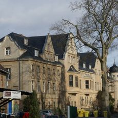
Schloss Beesenstedt
5 km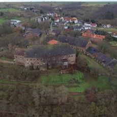
Burg Friedeburg
1.1 km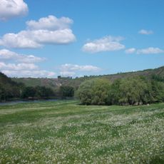
Saaledurchbruch bei Rothenburg
932 m
Burg Rothenburg (Saale)
4.3 km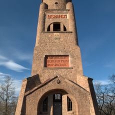
Bismarck Tower (Wettin)
4.2 km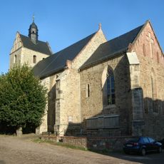
Nikolaikirche (Wettin)
5 km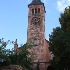
Protestant Church (Rothenburg)
3.9 km
Kornflaschen
4.3 km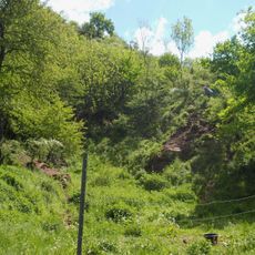
Saalehänge bei Dobis
1.8 km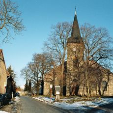
St. Johannes
4.7 km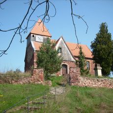
Johanniskirche
1.4 km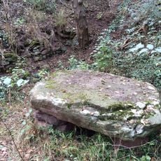
Menhir von Rothenburg
4.1 km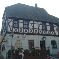
Wettiner Hof
5.1 km
St. Johannes der Evangelist
1.1 km
Dorfkirche Zabenstedt
5.3 km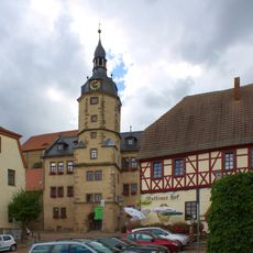
Wettin town hall
5.2 km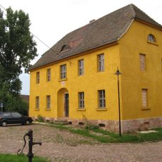
Rothenburger Straße 13
1.3 km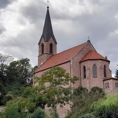
St. Bonifatius
1.1 km
Meilenstein Garsena
5.5 km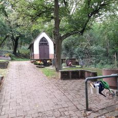
Friedhof Kloschwitz
2.7 km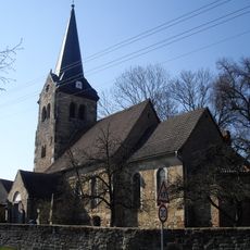
Protestant Church (Freist)
3 km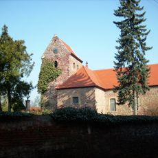
Protestant Church (Dornitz)
5.4 km
St. Wenzel (Thaldorf)
3.3 km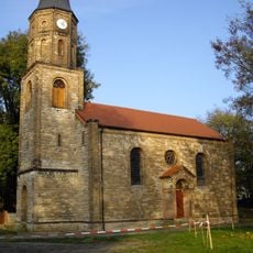
St. Moritz (Adendorf)
3.1 km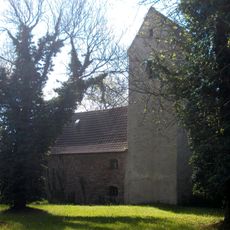
Protestant Church (Dößel)
3.2 km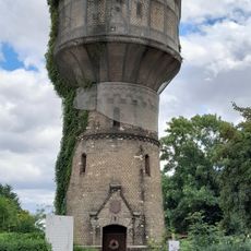
Wasserturm Beesenstedt
5.2 km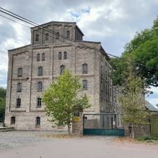
Pögritzmühle
4.3 km
Nikolaikirchplatz 1
5 kmReviews
Visited this place? Tap the stars to rate it and share your experience / photos with the community! Try now! You can cancel it anytime.
Discover hidden gems everywhere you go!
From secret cafés to breathtaking viewpoints, skip the crowded tourist spots and find places that match your style. Our app makes it easy with voice search, smart filtering, route optimization, and insider tips from travelers worldwide. Download now for the complete mobile experience.

A unique approach to discovering new places❞
— Le Figaro
All the places worth exploring❞
— France Info
A tailor-made excursion in just a few clicks❞
— 20 Minutes