
Am Angelberg, protected landscape area in Rheinland-Pfalz, Germany
Location: Koblenz
Inception: 1996
GPS coordinates: 50.33520,7.60169
Latest update: June 10, 2025 18:49
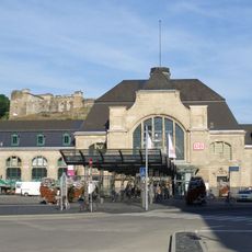
Koblenz Central Station
1.9 km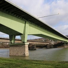
Südbrücke Koblenz
620 m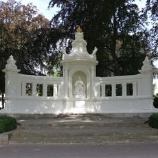
Kaiserin-Augusta-Denkmal in Koblenz
1.3 km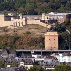
Fort Constantin
2 km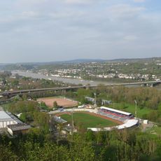
Rittersturz
1.6 km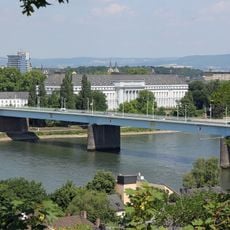
Pfaffendorf Bridge
2 km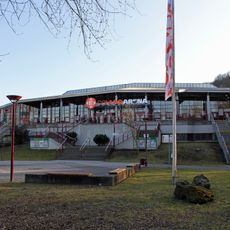
CGM Arena
1.3 km
Feste Kaiser Alexander
2.1 km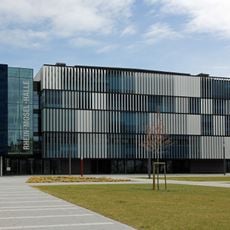
Rhein-Mosel-Halle
2 km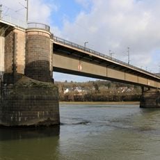
Horchheimer Eisenbahnbrücke
566 m
Rhenish provincial library Koblenz
1.8 km
St. Josef (Koblenz-Süd)
1.4 km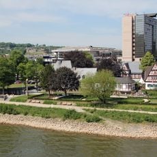
Weindorf Koblenz
2 km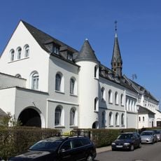
Kloster Bethlehem Koblenz
948 m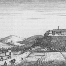
Kartause Koblenz
2 km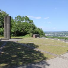
Rittersturz-Denkmal in Koblenz
1.6 km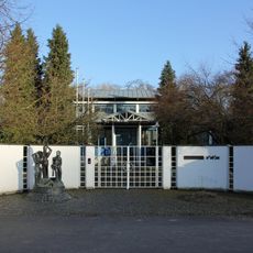
Wasserwerk Koblenz-Oberwerth
1 km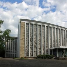
Maria Himmelfahrt
1.5 km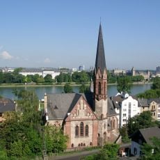
Evangelische Kirche Koblenz-Pfaffendorf
2.1 km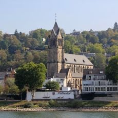
St. Peter und Paul
1.5 km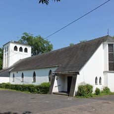
St. Beatus
2.1 km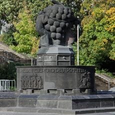
Weinbrunnen in Koblenz
1.9 km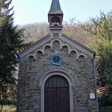
Dreifaltigkeitskapelle
1.3 km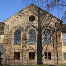
Lutherkapelle
713 m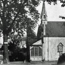
Markenbildchen-Kapelle
1.8 km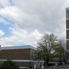
Hoffnungskirche
1.4 km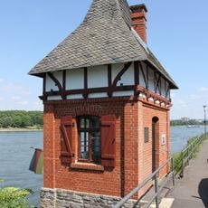
Wahrschaustation
629 m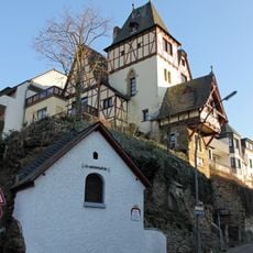
Wendelinuskapelle
1.2 kmReviews
Visited this place? Tap the stars to rate it and share your experience / photos with the community! Try now! You can cancel it anytime.
Discover hidden gems everywhere you go!
From secret cafés to breathtaking viewpoints, skip the crowded tourist spots and find places that match your style. Our app makes it easy with voice search, smart filtering, route optimization, and insider tips from travelers worldwide. Download now for the complete mobile experience.

A unique approach to discovering new places❞
— Le Figaro
All the places worth exploring❞
— France Info
A tailor-made excursion in just a few clicks❞
— 20 Minutes