Auterniederung, protected landscape in Lower Saxony, Germany
Location: Hanover region
Inception: 1991
GPS coordinates: 52.53790,9.54111
Latest update: October 29, 2025 03:55
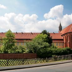
Kloster Mariensee
4.3 km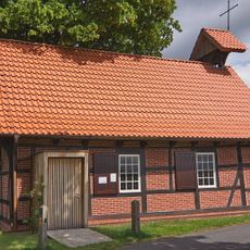
Johannes-Kapelle
1.4 km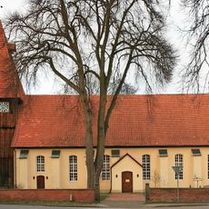
Helstorfer Kirche
6.2 km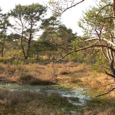
Otternhagener Moor
4.1 km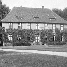
Rittergut Evensen
4.5 km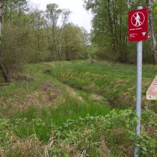
Helstorfer Moor
3.8 km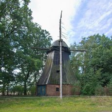
Abbenser Windmühle
5.4 km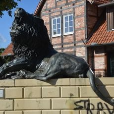
Löwe zwischen den Brücken
6.4 km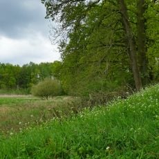
Helstorfer Altwasser
5.7 km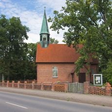
Johanniskapelle
5.9 km
Evenser Moor
5.2 km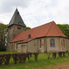
St. Cyriakus, Simon und Judas
2.8 km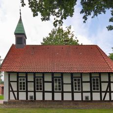
Kapelle Negenborn
6.5 km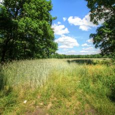
Osterwalder Moorgeest
6.1 km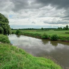
Untere Leine
5.8 km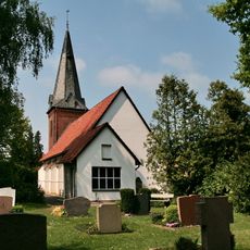
St. Johannis-Kirche Otternhagen
3 km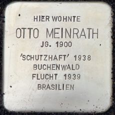
Stolperstein dedicated to Otto Meinrath
6.4 km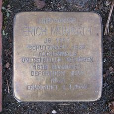
Stolperstein dedicated to Erich Meinrath
6.4 km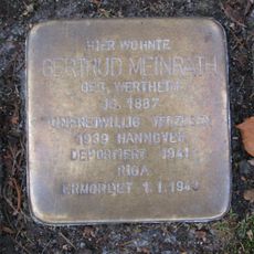
Stolperstein dedicated to Gertrud Meinrath
6.4 km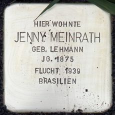
Stolperstein dedicated to Jenny Meinrath
6.4 km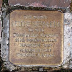
Stolperstein dedicated to Helene Sternheim
6.5 km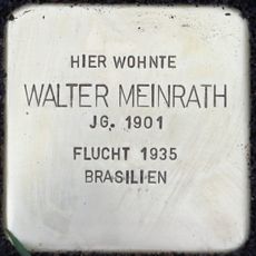
Stolperstein dedicated to Walter Meinrath
6.4 km
Institut für Nutztiergenetik, Friedrich Loeffler Institut
4.3 km
Wasserfall
6.3 km
Löwe
6.4 km
Scenic viewpoint
5.7 km
Memorial
4.8 km
Kriegerdenkmal
6.2 kmReviews
Visited this place? Tap the stars to rate it and share your experience / photos with the community! Try now! You can cancel it anytime.
Discover hidden gems everywhere you go!
From secret cafés to breathtaking viewpoints, skip the crowded tourist spots and find places that match your style. Our app makes it easy with voice search, smart filtering, route optimization, and insider tips from travelers worldwide. Download now for the complete mobile experience.

A unique approach to discovering new places❞
— Le Figaro
All the places worth exploring❞
— France Info
A tailor-made excursion in just a few clicks❞
— 20 Minutes