
Lichtenauer Rheinniederung, protected landscape area in Baden-Württemberg, Germany
Location: Lichtenau
Location: Rheinmünster
Inception: 1996
GPS coordinates: 48.73110,7.98824
Latest update: April 21, 2025 05:45
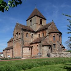
Münster Schwarzach
4.7 km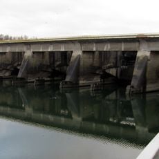
Gambsheim barrage
7.5 km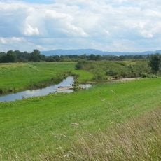
Acher-Rench-Korrektion
7 km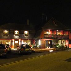
Musée Goethe à l'Auberge au Bœuf
7.7 km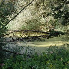
Offendorf Forest Nature Reserve
2.7 km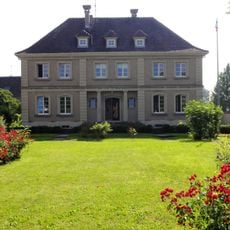
Villa Wenger
4.4 km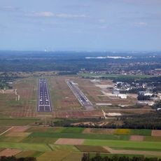
Stollhofener Platte
7.5 km
Rheinknie Alter Kopfgrund
2.2 km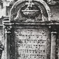
Jewish cemetery in Herrlisheim
6 km
Gasthaus Zum Ochsen
7.1 km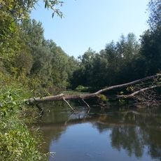
Mittelgrund Helmlingen
4.1 km
Pôle Culturel De Drusenheim
4 km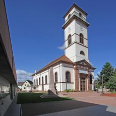
Église Saint-Matthieu de Drusenheim
4.6 km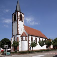
Church of Nativity of Mary in Sessenheim
7.6 km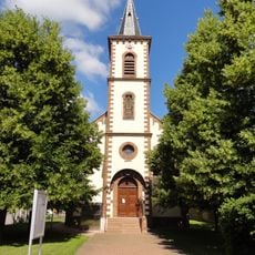
Église Saint-Laurent de Dalhunden
5 km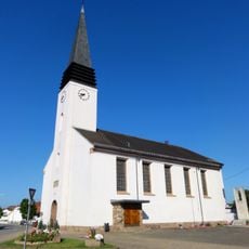
Église Saint-Wendelin de Rohrwiller
6.7 km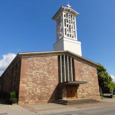
Église Sainte-Brigitte-Saint-Pierre-Saint-Paul d'Offendorf
5.9 km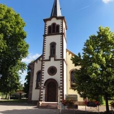
Église protestante de Dalhunden
5 km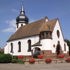
Lutheran church in Sessenheim
7.6 km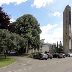
St. Arbogast
5.9 km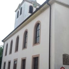
Evangelische Kirche Lichtenau
1.7 km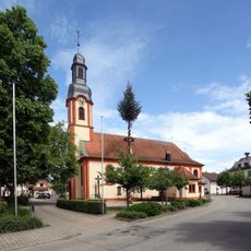
St. Dionys (Bühl-Moos)
5.9 km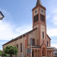
St. Cyriacus (Unzhurst)
7.2 km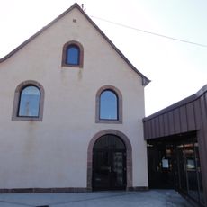
Ancienne synagogue d'Herrlisheim
6.1 km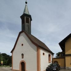
St. Wolfgang
5.3 km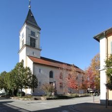
Kreuzkirche (Scherzheim)
2.3 km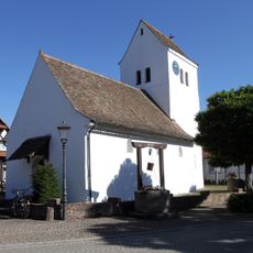
Heidenkirchel St. Nikolaus Rheinau-Freistett
7 km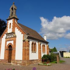
Église luthérienne
6.1 kmReviews
Visited this place? Tap the stars to rate it and share your experience / photos with the community! Try now! You can cancel it anytime.
Discover hidden gems everywhere you go!
From secret cafés to breathtaking viewpoints, skip the crowded tourist spots and find places that match your style. Our app makes it easy with voice search, smart filtering, route optimization, and insider tips from travelers worldwide. Download now for the complete mobile experience.

A unique approach to discovering new places❞
— Le Figaro
All the places worth exploring❞
— France Info
A tailor-made excursion in just a few clicks❞
— 20 Minutes