
Stettener Tal, protected landscape area in Baden-Württemberg, Germany
Location: Tuttlingen
Inception: 1992
GPS coordinates: 48.02890,8.86254
Latest update: June 10, 2025 22:52
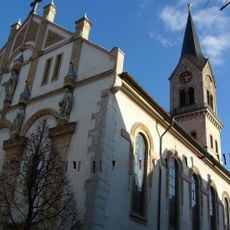
Stadtkirche Tuttlingen
6.1 km
Mühlheimer Felsenhöhle
3 km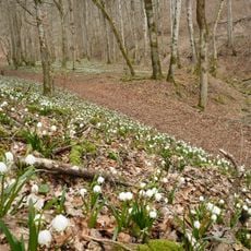
Hintelestal
3.8 km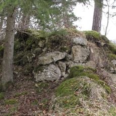
Ruine Kreidenstein, Bäratal
5.8 km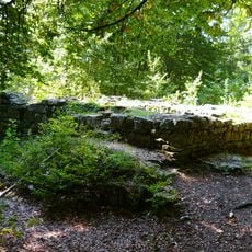
Burgruine Luginsfeld
5 km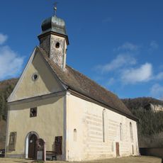
St. Gallus (Mühlheim an der Donau)
2.4 km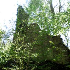
Burgruine Kraftstein
3.2 km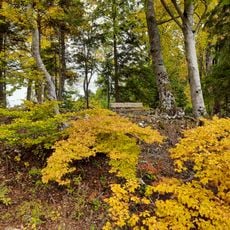
Burg Fürstenstein
5.5 km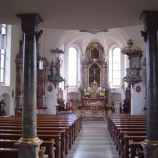
St. Petrus und Jakobus maior Nendingen
2.5 km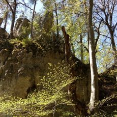
Burgreste Walterstein
4.1 km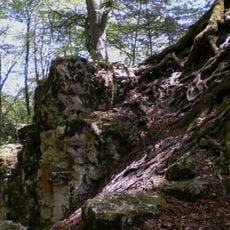
Wallenburg
3 km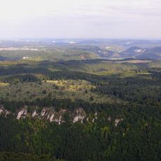
Kraftstein
2.3 km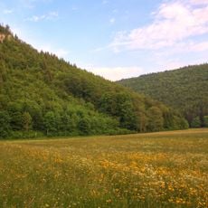
Burgreste Bräunisburg
2.5 km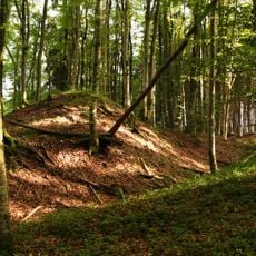
Burgreste Altrietheim
3.5 km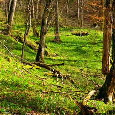
Buchhalde-Oberes Donautal
3.6 km
Rathaus (Mühlheim an der Donau)
2.1 km
Grasmutter
4.2 km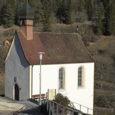
Sebastianskapelle (Mühlheim an der Donau)
2.2 km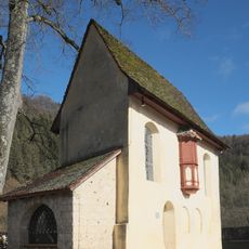
Veitskapelle (Mühlheim an der Donau)
2.4 km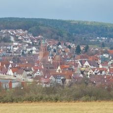
Gesamtanlage Altstadt Weil der Stadt
5.3 km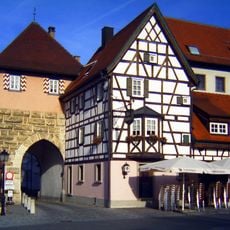
Grabenstraße 11 (Mühlheim an der Donau)
2.1 km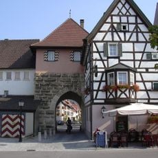
Oberes Tor
2 km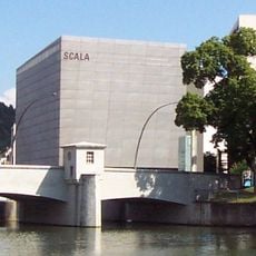
Scala Kino
5.7 km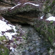
Wulfbachquelle
2.5 km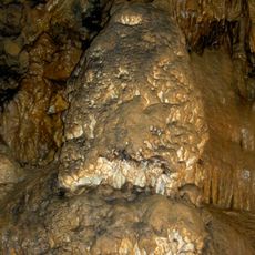
Mühlheimer Höhle
3 km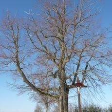
Käppelelinde
4.2 km
Blutbuche beim Kindergarten St. Maria
1.8 km
2 Linden mit Kreuz
817 mReviews
Visited this place? Tap the stars to rate it and share your experience / photos with the community! Try now! You can cancel it anytime.
Discover hidden gems everywhere you go!
From secret cafés to breathtaking viewpoints, skip the crowded tourist spots and find places that match your style. Our app makes it easy with voice search, smart filtering, route optimization, and insider tips from travelers worldwide. Download now for the complete mobile experience.

A unique approach to discovering new places❞
— Le Figaro
All the places worth exploring❞
— France Info
A tailor-made excursion in just a few clicks❞
— 20 Minutes