
LSG-Huelser Heide, Schaffrath, Rungenberg, protected area in Germany
Location: Gelsenkirchen
Inception: 1968
GPS coordinates: 51.57028,7.02123
Latest update: June 12, 2025 00:49
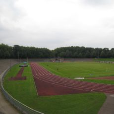
Stadion Gladbeck
2.5 km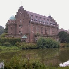
Wittringen Castle
3 km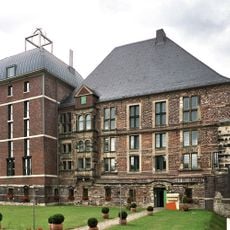
Horst Palace
3.8 km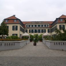
Schloss Berge
3.3 km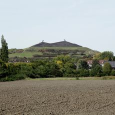
Halde Rungenberg
1.7 km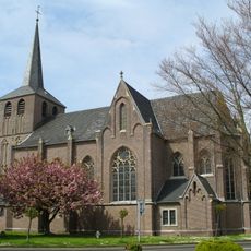
Propsteikirche St. Urbanus
2.4 km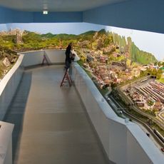
Der Deutschlandexpress
4.7 km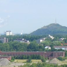
Halde Oberscholven
3.8 km
St. Lamberti
1.9 km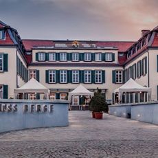
Schloss Berge
3.3 km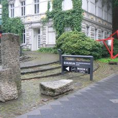
Gelsenkirchen Art Museum
2.4 km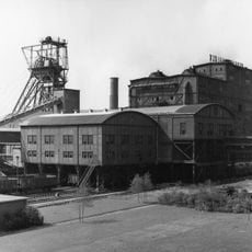
Bergmannsglück mine
3.9 km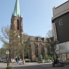
St. Hippolytus Church
3.6 km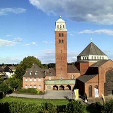
Heilig Kreuz-Kirche (Gladbeck)
1.8 km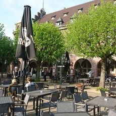
Wasserschloß Wittringen
3 km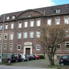
Ratsgymnasium (Gladbeck)
2.5 km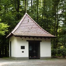
Sieben-Schmerzen-Kapelle
3.9 km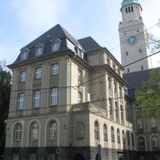
Rathaus Buer
2.7 km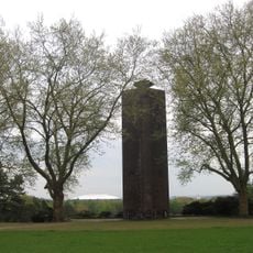
Ehrenmal Buer
2.6 km
St. Konrad
4 km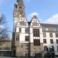
Altes Rathaus
2.2 km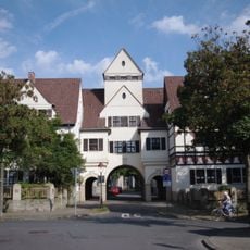
Schievenfeld-Siedlung
4.4 km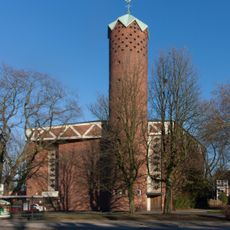
St. Theresia
3.6 km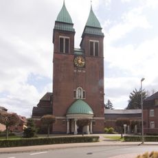
Herz-Jesu-Kirche
3.3 km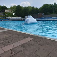
Freibad Gladbeck
2.5 km
Hof Strangemann
2.5 km
St. Stephanus
3.2 km
Breiker Höfe
4 kmReviews
Visited this place? Tap the stars to rate it and share your experience / photos with the community! Try now! You can cancel it anytime.
Discover hidden gems everywhere you go!
From secret cafés to breathtaking viewpoints, skip the crowded tourist spots and find places that match your style. Our app makes it easy with voice search, smart filtering, route optimization, and insider tips from travelers worldwide. Download now for the complete mobile experience.

A unique approach to discovering new places❞
— Le Figaro
All the places worth exploring❞
— France Info
A tailor-made excursion in just a few clicks❞
— 20 Minutes