
Landschaftsschutzgebiet im Landkreis St. Wendel - in der Gemeinde Marpingen
Landschaftsschutzgebiet im Landkreis St. Wendel - in der Gemeinde Marpingen, Landschaftsschutzgebiet im Saarland mit der Kennung L 2.07.12
Location: Marpingen
Inception: 1976
GPS coordinates: 49.44513,7.10221
Latest update: March 4, 2025 13:12
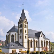
Mariä Himmelfahrt
3.7 km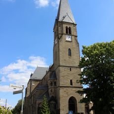
Heilige Familie
3.4 km
St. Franziskus (Urexweiler)
2.5 km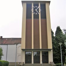
St. Anna
5.2 km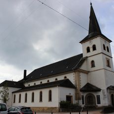
St. Mauritius
3.8 km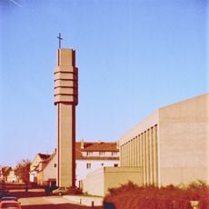
Heilig Geist
4.7 km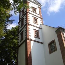
Evangelical Church
4.4 km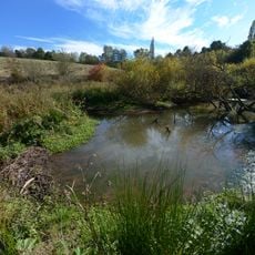
Naturschutzgebiet Täler der Ill und ihrer Nebenbäche
4.6 km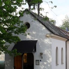
Saint Anne Chapel (Wallesweilerhof)
4.2 km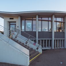
Omnibuswartehalle St. Wendel
5.2 km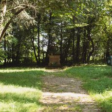
Gedenkstätte Alter Katholischer Friedhof Mainzweiler
4 km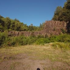
Alter Steinbruch
2.7 km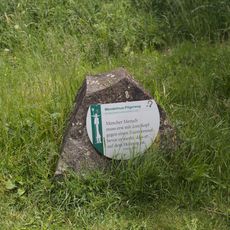
Wendelinus Pilgerweg
3.9 km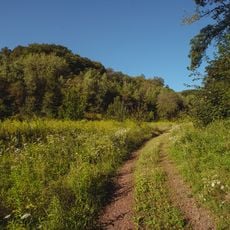
Steinberg Oberlinxweiler / Remmesweiler
2.7 km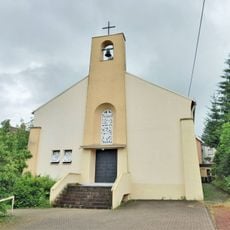
St. Marien
3.5 km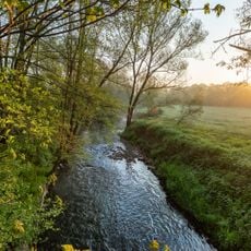
Blieswiesen Niederlinxweiler / Ottweiler
5.3 km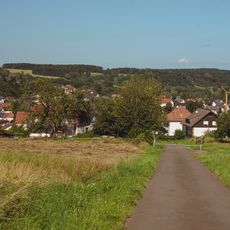
Faulen-Berg
3.3 km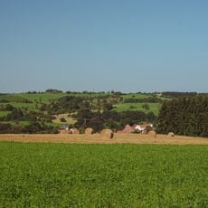
Ottweiler - Mainzweiler
4.5 km
Evangelische Kirche
1.6 km
Naturschutzgroßvorhaben Ill
3.4 km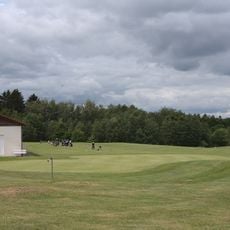
Wendelinus-Golfpark
3.8 km
St. Wendalinus
3.4 km
Katholisches Schulhaus
3.2 km
Landschaftsschutzgebiet L 2.08.13
3.7 km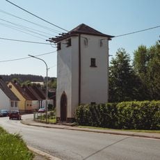
Transformatorenstation
3.5 km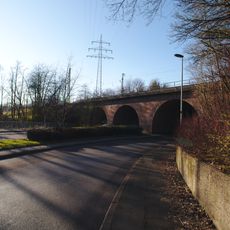
Eisenbahnbrücke
4.7 km
Ensemble Alte Schule
3.5 km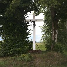
Wegkreuz
3.1 kmReviews
Visited this place? Tap the stars to rate it and share your experience / photos with the community! Try now! You can cancel it anytime.
Discover hidden gems everywhere you go!
From secret cafés to breathtaking viewpoints, skip the crowded tourist spots and find places that match your style. Our app makes it easy with voice search, smart filtering, route optimization, and insider tips from travelers worldwide. Download now for the complete mobile experience.

A unique approach to discovering new places❞
— Le Figaro
All the places worth exploring❞
— France Info
A tailor-made excursion in just a few clicks❞
— 20 Minutes