
Landschaftsschutzgebiet im Landkreis Saarlouis - im Bereich der Gemeinde Schmelz
Landschaftsschutzgebiet im Landkreis Saarlouis - im Bereich der Gemeinde Schmelz, Landschaftsschutzgebiet im Saarland mit der Kennung L 3.01.03
Location: Schmelz
Inception: 1977
GPS coordinates: 49.46399,6.87309
Latest update: April 19, 2025 01:18
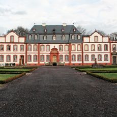
Schloss Münchweiler
5.3 km
St. Marien
6.6 km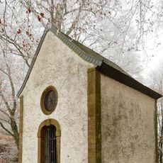
Schwarzenburg (Lockweiler)
6.4 km
St. Antonius von Padua
5.5 km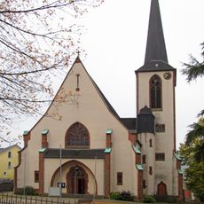
St. Willibrord
2.5 km
St. Marien
2.6 km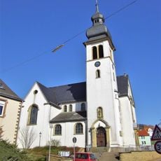
St. Katharina (Scheuern)
5.6 km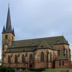
Herz-Jesu-Kirche
3.5 km
Kaltensteinpfad
6.9 km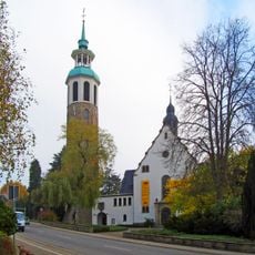
St. Aloysius
6.2 km
St. Stephanus
3 km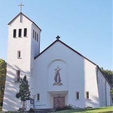
St. Maternus
6.4 km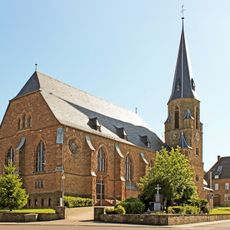
Herz-Jesu-Kirche
2.5 km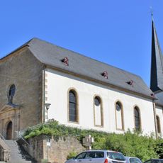
St. Alban
6.7 km
Zur Schmerzhaften Muttergottes
2.6 km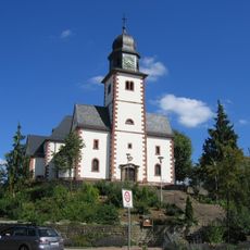
St. Helena
7.1 km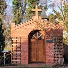
Antoniuskapelle
3.8 km
Mühlenberg Bettingen
2.4 km
Maria Königin
6.5 km
Lebach signal box
6.7 km
Hofgut zur Motte
6.4 km
Bettinger Mühle
3.4 km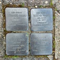
Stolperstein dedicated to Bernhard Hanau
5.7 km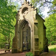
Odilienkapelle
5.6 km
Stolperstein dedicated to Frieda Hanau
5.7 km
Schoenstatt Shrine at the Wünschberg
7.1 km
Hochbehälter
7 km
Stolperstein dedicated to Sibilla Hanau
5.7 kmReviews
Visited this place? Tap the stars to rate it and share your experience / photos with the community! Try now! You can cancel it anytime.
Discover hidden gems everywhere you go!
From secret cafés to breathtaking viewpoints, skip the crowded tourist spots and find places that match your style. Our app makes it easy with voice search, smart filtering, route optimization, and insider tips from travelers worldwide. Download now for the complete mobile experience.

A unique approach to discovering new places❞
— Le Figaro
All the places worth exploring❞
— France Info
A tailor-made excursion in just a few clicks❞
— 20 Minutes