
Landschaftsschutzgebiet im Landkreis Saarlouis - im Bereich der Gemeinde Überherrn
Landschaftsschutzgebiet im Landkreis Saarlouis - im Bereich der Gemeinde Überherrn, protected area in Germany
Location: Überherrn
Inception: 1977
GPS coordinates: 49.24488,6.68981
Latest update: October 30, 2025 05:02
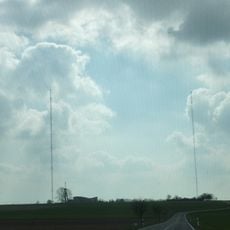
Longwave transmitter Europe 1
4.1 km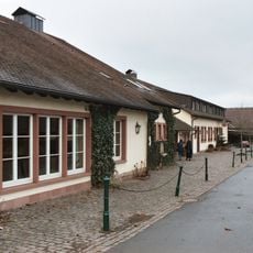
Linslerhof
3.1 km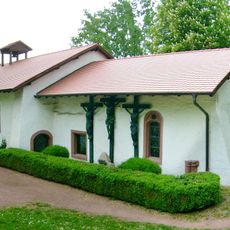
Orannakapelle
3.1 km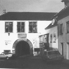
Burg Berus
2.7 km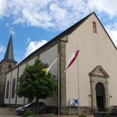
St. Martin
2.5 km
St. Bonifatius
475 m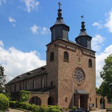
St. Matthias
3.5 km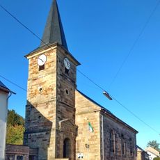
St. Peter church
1.6 km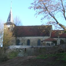
Église Saint-Brice de Falck
4.5 km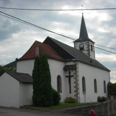
Église Saint-Fiacre de Berviller-en-Moselle
4.2 km
Église de la Visitation de Merten
1.7 km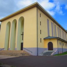
Église du Christ-Roi de Falck
4.4 km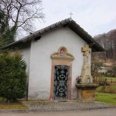
Chapelle Saint-Blaise de Berviller-en-Moselle
4.1 km
St. Franziskus
4.6 km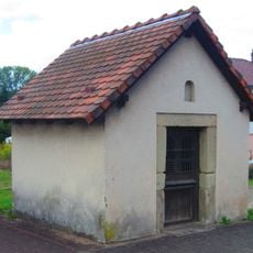
Chapelle de Falck
3.8 km
Chapelle Sainte-Barbe de la Houve
3.6 km
Vis-à-vis
3.5 km
Torhaus Scharfeneck
2.6 km
Vis-à-vis
3.4 km
Wassertretanlage
3.3 km
Eiserner Esel
2 km
Wilde Gesellen 1618-48
2.6 km
Work of art, sculpture
3.4 km
Memorial
1.9 km
Memorial
1.6 km
Gefallenendenkmal
1.9 km
Die alte Seilbahn / Le vieux téléphérique
2.3 km
Memorial, war memorial
2.2 kmReviews
Visited this place? Tap the stars to rate it and share your experience / photos with the community! Try now! You can cancel it anytime.
Discover hidden gems everywhere you go!
From secret cafés to breathtaking viewpoints, skip the crowded tourist spots and find places that match your style. Our app makes it easy with voice search, smart filtering, route optimization, and insider tips from travelers worldwide. Download now for the complete mobile experience.

A unique approach to discovering new places❞
— Le Figaro
All the places worth exploring❞
— France Info
A tailor-made excursion in just a few clicks❞
— 20 Minutes