
Tüxenfläche, forest reserves in Germany
Location: Uelzen District
Inception: 1972
GPS coordinates: 52.99742,10.22318
Latest update: June 1, 2025 06:52

German Tank Museum
7.6 km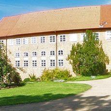
Ebstorf Abbey
13.2 km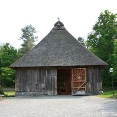
Schafstallkirche St. Martin
10.4 km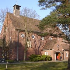
Michaelkirche
11.2 km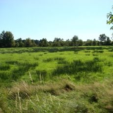
Kiehnmoor
7.5 km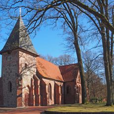
St.-Urbani-Kirche
8.8 km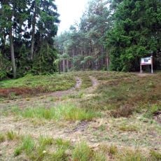
Rider grave of Hankenbostel
12.8 km
St. Michael
8.5 km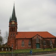
Church of Hippolit
14.3 km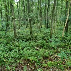
Lopautal
7.1 km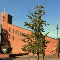
Mariae Heimsuchung
13.4 km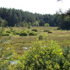
Brambosteler Moor
6.5 km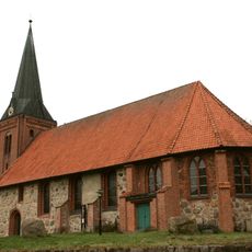
St. Georg
11.4 km
Heilig Geist
11.6 km
Tal der Kleinen Örtze
6.3 km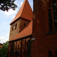
St. Michaelis
13.5 km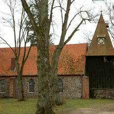
Church of St. Mary
7 km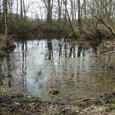
Moor bei Gerdehaus
13.9 km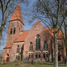
Church of Suidbert, Wriedel
6.4 km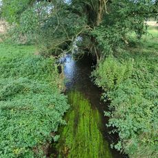
Häsebach
12.2 km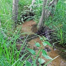
Oberes Lopautal
6.7 km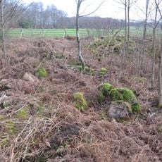
Großsteingräber bei Diersbüttel
13.6 km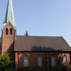
Bethlehem Church inWriedel
6.1 km
Ollershof
9 km
Luftbrückenmuseum Faßberg
10.9 km
Moor- und Heidegebiete im Truppenübungsplatz Munster-Süd
12.2 km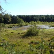
Brambosteler Moor
7.3 km
Truppenübungsplätze Munster Nord und Süd
485 mReviews
Visited this place? Tap the stars to rate it and share your experience / photos with the community! Try now! You can cancel it anytime.
Discover hidden gems everywhere you go!
From secret cafés to breathtaking viewpoints, skip the crowded tourist spots and find places that match your style. Our app makes it easy with voice search, smart filtering, route optimization, and insider tips from travelers worldwide. Download now for the complete mobile experience.

A unique approach to discovering new places❞
— Le Figaro
All the places worth exploring❞
— France Info
A tailor-made excursion in just a few clicks❞
— 20 Minutes