
Fort II, part of the former outer ring of forts in Cologne, Germany, on the left (Western) bank of the River Rhine
Location: Longerich
Inception: 1874
Part of: Forts in Cologne
GPS coordinates: 51.00187,6.90903
Latest update: March 15, 2025 16:42
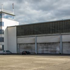
Butzweilerhof
2.5 km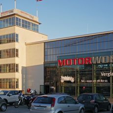
Motorworld Köln
2.4 km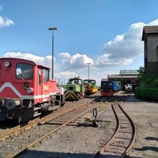
Rhenish Industrial Railway Museum
1.7 km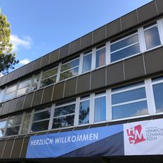
Heinrich-Mann-Gymnasium Köln
2.5 km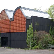
Simultanhalle
2.1 km
Am Ginsterpfad
2.4 km
St Bernhard's Church
1.2 km
Gartenstadt-Nord
1.9 km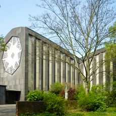
Kirche Christi Verklärung
1 km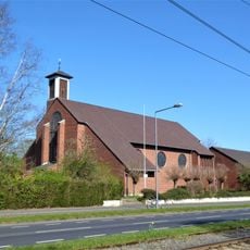
Christ the King
1.3 km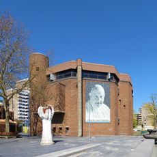
Hl. Johannes XXIII.
2.4 km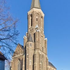
St. Dionysius
540 m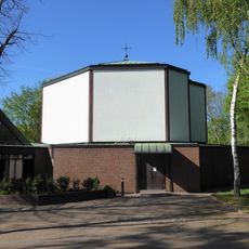
St. Markus / St. Dimitrios
1.7 km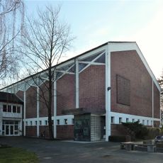
Immanuelkirche
1.2 km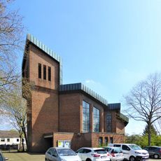
Kirche Schmerzhafte Mutter Maria
1.3 km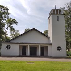
Christophorus-Kapelle
529 m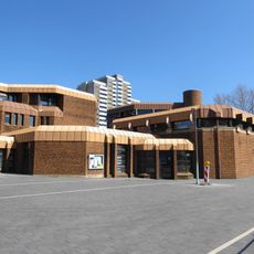
Evangelische Stadtkirche
2.4 km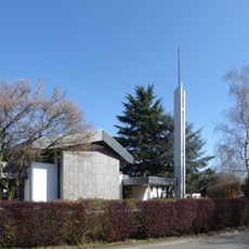
Kirche Jesu Christi der Heiligen der Letzten Tage (Köln-Heimersdorf)
985 m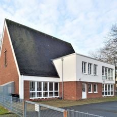
Neuapostolische Kirche (Köln-Seeberg)
1.8 km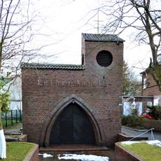
Luther-Kapelle
1.1 km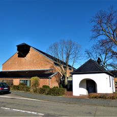
St. Elisabeth
2.4 km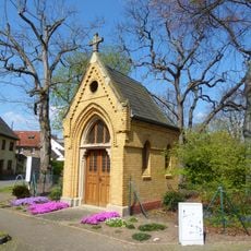
Marienkapelle (Köln-Volkhoven)
2.4 km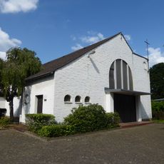
Alte Kirche (Köln-Pesch)
2.4 km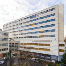
Heilig-Geist-Krankenhaus Köln-Longerich
1.5 km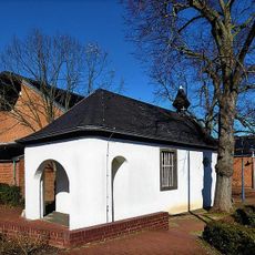
Donatuskapelle Köln-Pesch
2.4 km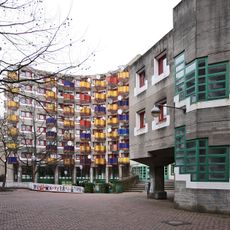
Wohngruppe Riphahnstraße 9, Köln
1.9 km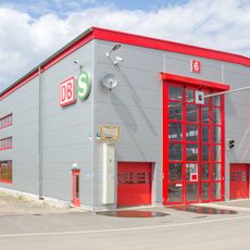
S-Bahn Instandhaltungswerk Köln-Nippes
2.4 km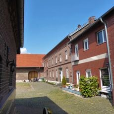
Kartäuserhof (Köln-Volkhoven)
2.4 kmReviews
Visited this place? Tap the stars to rate it and share your experience / photos with the community! Try now! You can cancel it anytime.
Discover hidden gems everywhere you go!
From secret cafés to breathtaking viewpoints, skip the crowded tourist spots and find places that match your style. Our app makes it easy with voice search, smart filtering, route optimization, and insider tips from travelers worldwide. Download now for the complete mobile experience.

A unique approach to discovering new places❞
— Le Figaro
All the places worth exploring❞
— France Info
A tailor-made excursion in just a few clicks❞
— 20 Minutes