
Fort V, part of the former outer ring of forts in Cologne, Germany, on the left (Western) bank of the River Rhine
Location: Müngersdorf
Inception: 1874
Part of: Forts in Cologne
GPS coordinates: 50.94272,6.87005
Latest update: June 6, 2025 07:16

Alevitische Gemeinde Deutschland
1.5 km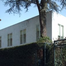
Haus ohne Eigenschaften
208 m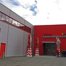
Kölner Karnevalsmuseum
2 km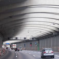
Einhausung Lövenich
1.5 km
St. Joseph
2.1 km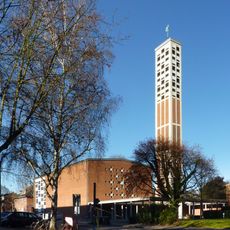
St. Pankratius
1.5 km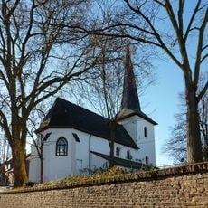
Alte Dorfkirche
1.7 km
Heilig-Geist-Kirche
2.4 km
Haus Ungers, Cologne
351 m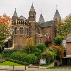
St. Vitalis
732 m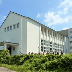
Clarenbachkirche
1.8 km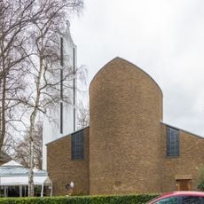
Dietrich-Bonhoeffer-Kirche
1.2 km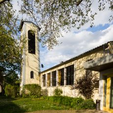
Emmaus-Kirche
1.8 km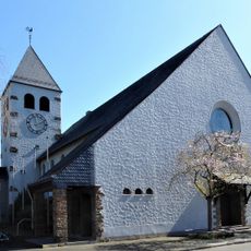
St Conrad's Church
1.5 km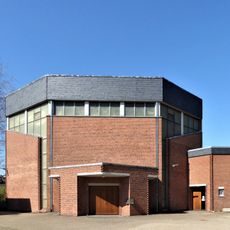
St Viktor's Church
2.3 km
Einfamilienhaus Van‐Gogh‐Straße 3, Köln
673 m
Droste-Hülshof-Straße 8
1.8 km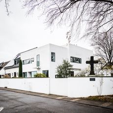
Ginsterweg 2, Köln
1.3 km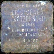
Stolperstein dedicated to Richard Katzenstein
1.7 km
Belvederestraße 43
367 m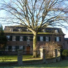
Herrenhaus Statthalterhof, Köln Junkersdorf
1.6 km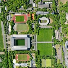
Sportpark Müngersdorf
955 m
Johannes-Theodor-Baargeldweg 24 bis 48
1.9 km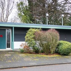
Beckenkampstraße 7
980 m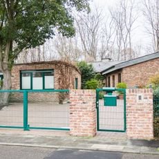
Veit-Stoß-Straße 6
730 m
1960s building ensemble of the Deutsche Sporthochschule Köln
1 km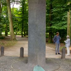
Memorial to the victims of RAF-Terrorism
1.7 km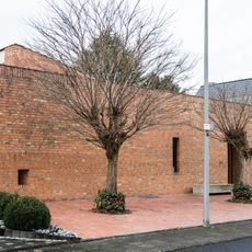
Weizenweg 16
931 mReviews
Visited this place? Tap the stars to rate it and share your experience / photos with the community! Try now! You can cancel it anytime.
Discover hidden gems everywhere you go!
From secret cafés to breathtaking viewpoints, skip the crowded tourist spots and find places that match your style. Our app makes it easy with voice search, smart filtering, route optimization, and insider tips from travelers worldwide. Download now for the complete mobile experience.

A unique approach to discovering new places❞
— Le Figaro
All the places worth exploring❞
— France Info
A tailor-made excursion in just a few clicks❞
— 20 Minutes