Servia Municipality, municipality in Greece
Location: Kozani Regional Unit
Shares border with: Katerini Municipality, Kozani Municipality, Velventos Municipality, Deskati Municipality, Elassona Municipality
Website: http://dservion.gr
GPS coordinates: 40.13380,21.96170
Latest update: March 8, 2025 22:57
Lake Polyfytos
8.9 km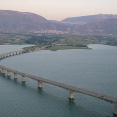
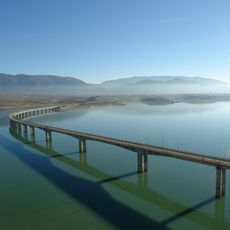
Servia's High Bridge
11.1 km
Zavordas Monastery
21.2 km
Aiani Archaeological Museum
12.1 km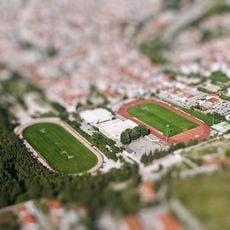
Kozani Stadium
23.4 km
Historical – Folklore and Natural History Museum of Kozani
23.9 km
Archaeological Museum of Kozani
24 km
Saint Nicholas Church, Velvento
16.1 km
Ι. Ναός Κοίμησης Θεοτόκου
5.3 km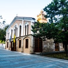
Saint Nicholas Church, Kozani
23.7 km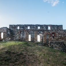
Basilica of the Catechumens
5.7 km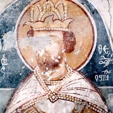
Sts. Theodore Tyron & Theodore Stratelates church, Servia
5.8 km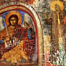
Saint Nicanor Skete, Zavordas Monastery
21.5 km
Ι. Ναός Κοίμησης Θεοτόκου
12.5 km
Saint Menas Church, Velventos
16 km
Свети Архангел Михаил
11.8 km
Ι. Ναός Αγίου Δημητρίου
14.6 km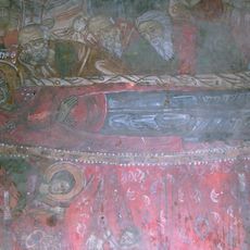
Assumption of Mary Church, Frourio
14.9 km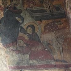
Saints Cosmas and Damian Church, Servia
5.9 km
Saint Demetrius Church, Metaxas
5.6 km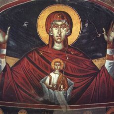
Ι. Ναός Αγίου Νικολάου
11.6 km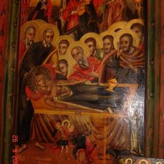
Assumption of Mary Church, Lazarades
15.8 km
Saint Demetrius Church, Frourio
14.8 km
Saint Mary Church, Tranovalto
12.8 km
Saint Paraskevi Church, Tranovalto
12.7 km
Ι. Ναός Αγίου Ηλία
13 km
Ι. Ναός Κοίμησης Θεοτόκου
20.8 km
Свети Атанасий
11.4 kmVisited this place? Tap the stars to rate it and share your experience / photos with the community! Try now! You can cancel it anytime.
Discover hidden gems everywhere you go!
From secret cafés to breathtaking viewpoints, skip the crowded tourist spots and find places that match your style. Our app makes it easy with voice search, smart filtering, route optimization, and insider tips from travelers worldwide. Download now for the complete mobile experience.

A unique approach to discovering new places❞
— Le Figaro
All the places worth exploring❞
— France Info
A tailor-made excursion in just a few clicks❞
— 20 Minutes