
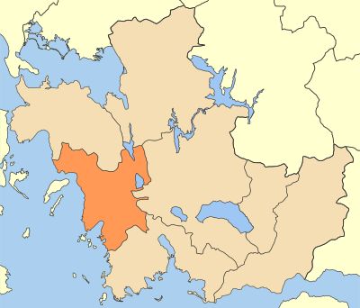
Municipality of Xiromero, municipality in West Greece region, Greece
Location: Aetolia-Acarnania Regional Unit
GPS coordinates: 38.60435,21.11747
Latest update: March 6, 2025 12:53
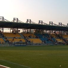
Panetolikos Stadium
25.8 km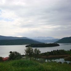
Kastraki lake
31 km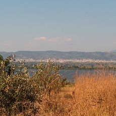
Lake Lysimachia
21.8 km
Missolonghi–Aitoliko Lagoons
32 km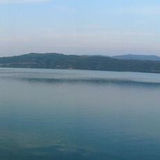
Stratos lake
21.2 km
Παπαστράτειο δημοτικό πάρκο
25.6 km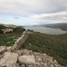
Limnaia
28.7 km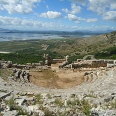
Ancient Greek theatre of Pleuron
33.1 km
Astacus
6 km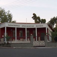
Archaeological Museum of Agrinio
25.5 km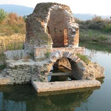
Agia Triada of Mavrika
24.6 km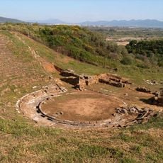
Stratos
19.1 km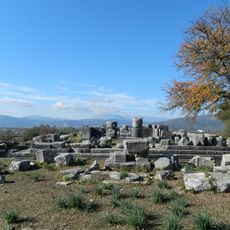
Temple of Zeus Stratios
18.4 km
Tower of Paravola
35.5 km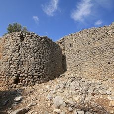
Castle of Varnakas
17.3 km
Nea Pleuron
33 km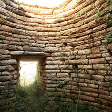
Moschovi tholos tomb
29.8 km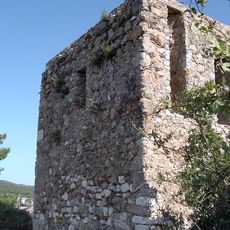
Koulia of kyra-Vassiliki
24.6 km
Palaiokastro of Rigani
9.9 km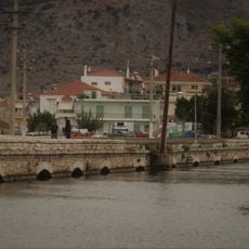
Stone bridge of Aitoliko
27.8 km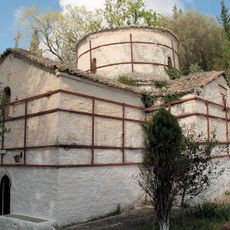
Church of Panagias tis Alychniotissas (Vonitsa)
36.9 km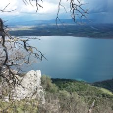
Limni Ozeros
10.7 km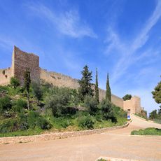
Vonitsa Castle
40.5 km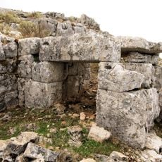
Kastri of Alyzia
11.9 km
Neoclassical Karasevda, Astakos
8.3 km
Palaiomanina citadel
12.3 km
Voukatio
35.5 km
Kompoti Castle
18.5 kmReviews
Visited this place? Tap the stars to rate it and share your experience / photos with the community! Try now! You can cancel it anytime.
Discover hidden gems everywhere you go!
From secret cafés to breathtaking viewpoints, skip the crowded tourist spots and find places that match your style. Our app makes it easy with voice search, smart filtering, route optimization, and insider tips from travelers worldwide. Download now for the complete mobile experience.

A unique approach to discovering new places❞
— Le Figaro
All the places worth exploring❞
— France Info
A tailor-made excursion in just a few clicks❞
— 20 Minutes