
Drulingen, commune in Bas-Rhin, France
Location: Bas-Rhin
Location: arrondissement of Saverne
Elevation above the sea: 298 m
Shares border with: Durstel, Asswiller, Bettwiller, Ottwiller, Siewiller, Weyer
Phone: +33388006003
Email: mairie.drulingen@mairie-drulingen.fr
Website: http://drulingen.fr
GPS coordinates: 48.86778,7.19111
Latest update: June 15, 2025 06:03
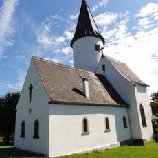
Chapelle du Kirchberg
4.9 km
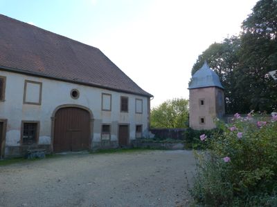
Château de Drulingen
248 m
Synagogue de Struth
5.4 km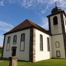
Église protestante de Berg
4.2 km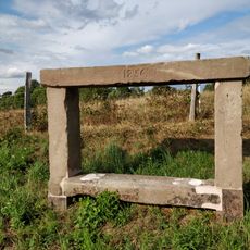
Banc-reposoir de Struth
5.6 km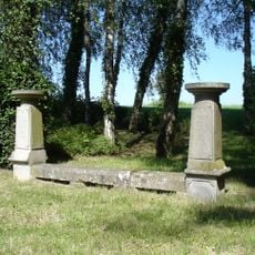
Banc-reposoir d'Ottwiller
3.7 km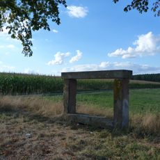
Banc-reposoir napoléonien (Weyer)
1.3 km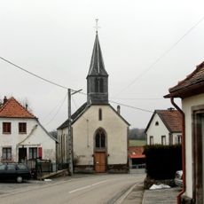
Église protestante de Siewiller
2.9 km
Église protestante de Petersbach
5.7 km
Église Sainte-Dorothée de Siewiller
2.9 km
Église Saint-Gall de Veckersviller
3.1 km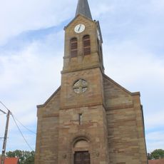
Église protestante de Lohr
4 km
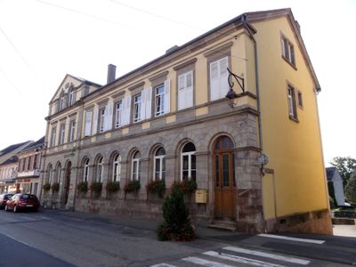
Église protestante de Drulingen
70 m
Église protestante d'Eywiller
4.2 km
Église protestante de Struth
5.3 km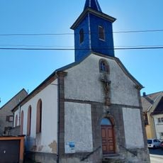
Église Saint-Gall d'Eywiller
4.2 km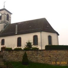
Église luthérienne d'Asswiller
2.5 km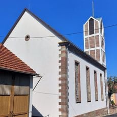
Église luthérienne d'Adamswiller
4.1 km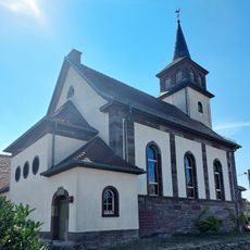
Église protestante de Bettwiller
2.2 km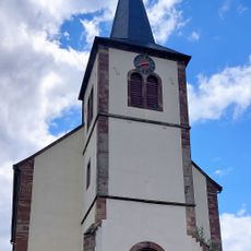
Église protestante de Durstel
2.6 km
Église protestante de Gungwiller
2.9 km
Église Saint-Gall de Schalbach
5.2 km
Église protestante de Bust
5.3 km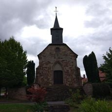
Église Saint-Pierre-et-Saint-Paul de Petersbach
5.1 km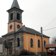
Église protestante de Schalbach
5.4 km
Église Saint-Simon-et-Saint-Jude de Weyer
2.8 km
Église luthérienne de Rexingen
3.8 km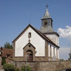
Église protestante d'Ottwiller
2.9 kmReviews
Visited this place? Tap the stars to rate it and share your experience / photos with the community! Try now! You can cancel it anytime.
Discover hidden gems everywhere you go!
From secret cafés to breathtaking viewpoints, skip the crowded tourist spots and find places that match your style. Our app makes it easy with voice search, smart filtering, route optimization, and insider tips from travelers worldwide. Download now for the complete mobile experience.

A unique approach to discovering new places❞
— Le Figaro
All the places worth exploring❞
— France Info
A tailor-made excursion in just a few clicks❞
— 20 Minutes