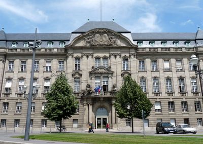
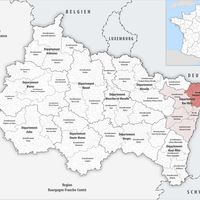
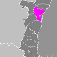
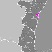
Bas-Rhin, Administrative department in Grand Est, France
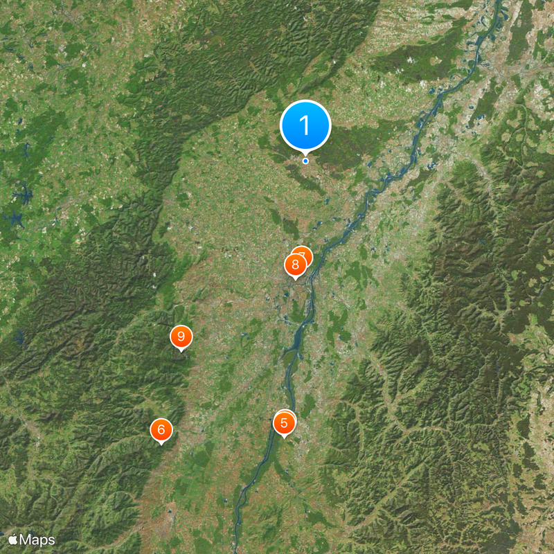
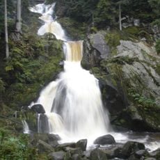
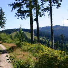
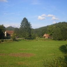
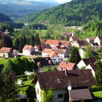
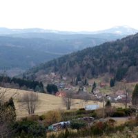
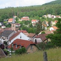
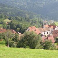
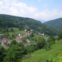
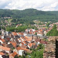
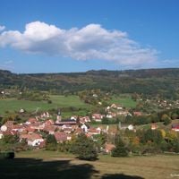
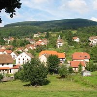
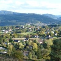
Bas-Rhin sits in northeastern France within the Grand Est region and covers plains along the Rhine as well as forested hills in the northern Vosges. The territory stretches from the German border westward to low mountain ranges and includes vineyards, agricultural fields, and several protected natural zones.
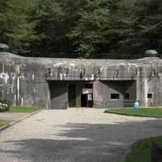
This administrative unit formed in 1790 during the French Revolution from parts of the former Alsace and saw periods of German annexation between 1871 and 1918 and again between 1940 and 1944. After the Second World War, the territory became definitively part of France and developed into an economic center with a European focus.
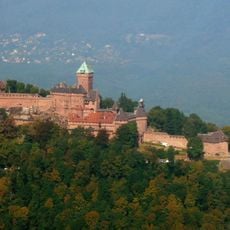
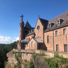
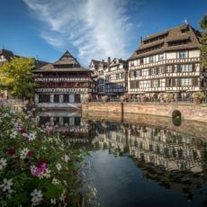
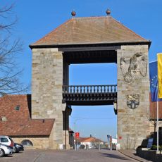
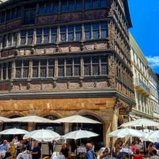
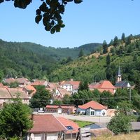
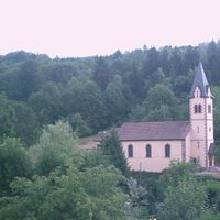
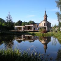
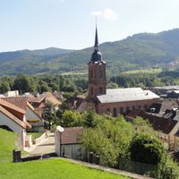
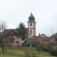
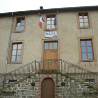
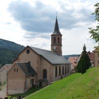
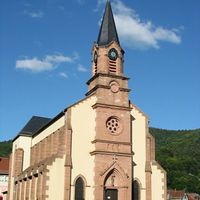
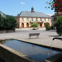
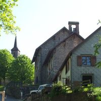
The area takes its name from the lower stretch of the Rhine, and visitors today notice bilingual signs in many communities alongside Alsatian dialects still spoken in villages. Half-timbered houses display red sandstone facades and carved wooden beams, while local markets offer tarte flambée and white wine from surrounding vineyards.
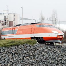
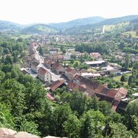
Strasbourg serves as the main transport hub for train travelers and drivers exploring the territory, while smaller towns connect through regional bus routes. Many villages and natural areas sit in hilly terrain and call for sturdy footwear if walking or cycling through the countryside.
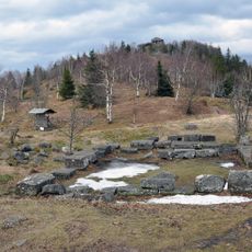
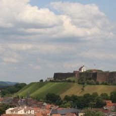
The Northern Vosges Regional Nature Park within the territory received UNESCO Biosphere Reserve recognition and displays red sandstone rock formations shaped over millions of years. The border with neighboring Germany runs through the middle of the Rhine, so visitors at certain spots can view both countries from a single riverbank.
Location: Grand Est
Location: European Collectivity of Alsace
Inception: March 4, 1790
Capital city: Strasbourg
Reference: 67
Part of: Alsace-Moselle
Shares border with: Moselle, Haut-Rhin, Vosges, Meurthe-et-Moselle, Rhineland-Palatinate, Baden-Württemberg
Website: https://bas-rhin.gouv.fr
GPS coordinates: 48.81667,7.78333
Latest update: December 13, 2025 15:41
Europa-Park
61.2 km
Cathedral of Our Lady of Strasbourg
26.3 km
Silver Star
61.3 km
Blue Fire Megacoaster
61.8 km
Château du Haut-Koenigsbourg
71 km
Seat of the European Parliament in Strasbourg
24.5 km
Strasbourg astronomical clock
26.2 km
Mont Sainte-Odile
50.6 km
Triberg Waterfalls
83.5 km
Rulantica
62 km
Wodan - Timburcoaster
62 km
Hornisgrinde
38.7 km
Strasbourg-Ville station
26 km
Eurosat
61.3 km
Petite France
26.4 km
Mont Donon
56.7 km
Euro-Mir
61.6 km
Fischer Brewery
24.3 km
Palais Rohan, Strasbourg
26.3 km
German Wine Gate
29.1 km
Zénith de Strasbourg
25.9 km
Kammerzell House
26.2 km
Ouvrage Schoenenbourg
19.2 km
TGV 001
22.9 km
Northern Vosges Regional Natural Park
30 km
Citadelle de Bitche
36.8 km
Piraten in Batavia
61.8 km
La Montagne des singes
68.9 kmVisited this place? Tap the stars to rate it and share your experience / photos with the community! Try now! You can cancel it anytime.
Haguenau-Wissembourg
arrondissement of Saverne
arrondissement of Sélestat-Erstein
arrondissement of Strasbourg-Campagne
arrondissement of Strasbourg-Ville
arrondissement of Wissembourg
Colroy-la-Roche
Blancherupt
Bourg-Bruche
Fouday
Solbach
Wisches
Saulxures
Ostwald
Neuviller-la-Roche
Saint-Blaise-la-Roche
Natzweiler
Rothau
Belmont
Wildersbach
Saales
Russ
Schirmeck
Ranrupt
La Broque
Bellefosse
Waldersbach
Plaine
Discover hidden gems everywhere you go!
From secret cafés to breathtaking viewpoints, skip the crowded tourist spots and find places that match your style. Our app makes it easy with voice search, smart filtering, route optimization, and insider tips from travelers worldwide. Download now for the complete mobile experience.
A unique approach to discovering new places❞
— Le Figaro
All the places worth exploring❞
— France Info
A tailor-made excursion in just a few clicks❞
— 20 Minutes