Enable Location

We need your location to show you interesting places around you

Discover nearby places

Find interesting locations and hidden gems around you

Precise directions

Get accurate directions and distances to places

Your location is never shared with other users. It's only used when you tap the location button.

Hornisgrinde

Log in to your account

Start exploring — it's free

Trusted by 62,819 travelers worldwide

Continue with Google
Continue with Apple
or

We will send you a code to connect

By continuing, you accept our Terms and Conditions and our Privacy Policy

Check your inbox

We've sent a pincode in your inbox. Please enter the code below.

Hornisgrinde

Hornisgrinde, Summit in Northern Black Forest, Germany.

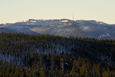
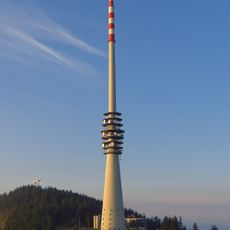
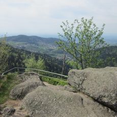
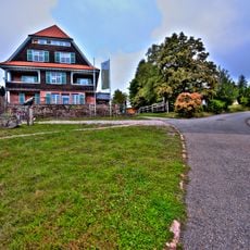
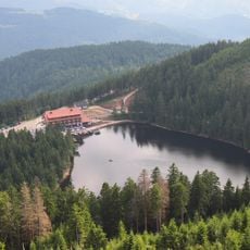
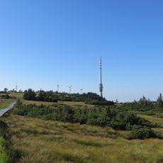
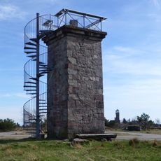
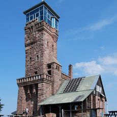
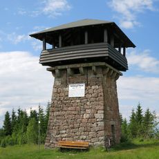
Hornisgrinde is the highest peak in the northern Black Forest, rising to 1,164 meters above sea level. The mountain features several observation towers, including a 23-meter structure built in 1910, and is crossed by a network of hiking trails.

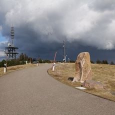
A sandstone slab called Dreifürstenstein has marked the boundary meeting point of Baden, Württemberg, and the Diocese of Strasbourg since 1722. During World War II, German military forces used the summit for air defense operations, leaving behind remnants of those installations.

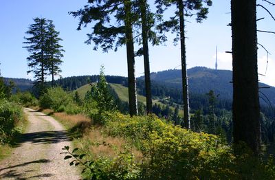
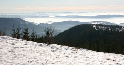
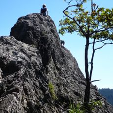
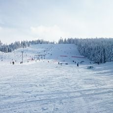
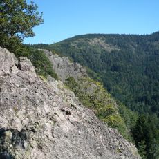
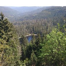
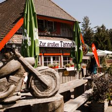
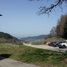
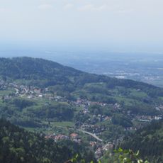
The summit draws hikers and nature enthusiasts who enjoy the open moorland and far-reaching views across the Black Forest landscape. The towers on the peak serve as gathering points where visitors pause to take in the surroundings.

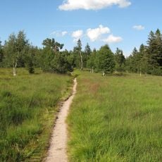
Visitors can use various hiking trails, with the most popular route from Ruhestein being roughly 11 kilometers long and involving considerable elevation changes. It is wise to wear sturdy footwear and be prepared for changing weather conditions, as the summit can be quite windy.

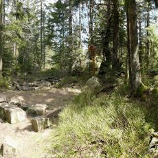
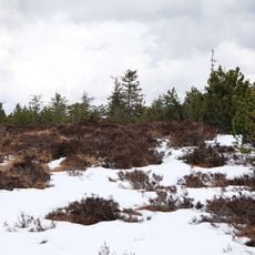
The summit is composed of sandstone and surrounded by open moorland with characteristic boggy soil that stands out sharply from the forested slopes below. These moorlands developed through natural processes and create a rare habitat at this elevation that many hikers overlook while focusing on the views.

The community of curious travelers

AroundUs brings together thousands of curated places, local tips, and hidden gems, enriched daily by 60,000 contributors worldwide.

Start exploring
Elevation above the sea
1,164.4 m
Made from material
sandstone
GPS coordinates
48.60570,8.20212
Latest update
December 20, 2025 01:40
« Hornisgrinde - Summit in Northern Black Forest, Germany » is provided by Around Us (aroundus.com). Images and texts are derived from Wikimedia project under a Creative Commons license. You are allowed to copy, distribute, and modify copies of this page, under the conditions set by the license, as long as this note is clearly visible.

Discover hidden gems everywhere you go!

From secret cafés to breathtaking viewpoints, skip the crowded tourist spots and find places that match your style. Our app makes it easy with voice search, smart filtering, route optimization, and insider tips from travelers worldwide. Download now for the complete mobile experience.

Around Us App Screenshot

A unique approach to discovering new places

Le Figaro

All the places worth exploring

France Info

A tailor-made excursion in just a few clicks

20 Minutes

Around Us
Travel Guide & Maps
Download

Send to your phone

QR Code
1

Open the camera app on your mobile.

2

Point at the QR code with your camera. A notification will appear.

3

Tap the notification to open the link.