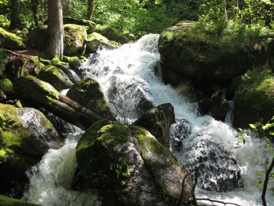
Gertelbach-Wasserfälle, Cascading waterfall in Bühlertal, Germany.
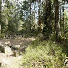
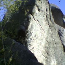
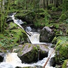
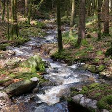
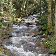
The Gertelbach flows over a series of 15 separate rock steps made of granite, ranging from 2 to 6 meters in height and formed through natural erosion processes. Water channels through narrow rock chutes and creates small pools, surrounded by mosses and ferns growing on the moist stone walls.
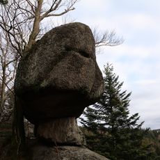
The geological formation developed millions of years ago through weathering of the Lower Bunter Sandstone layer and Bühlertal granite. Systematic hiking trails were established only in the 20th century after local alpine clubs promoted tourism development in the region. Current viewing platforms and paths have been renewed several times and adapted to modern safety standards.
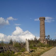
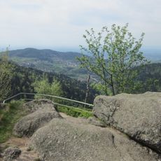
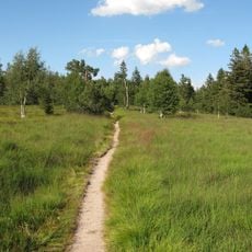
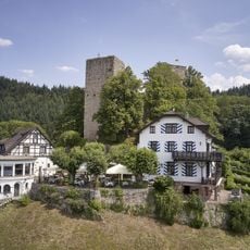
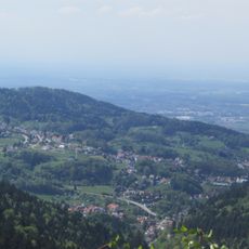
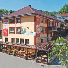
These waterfalls rank among the most popular hiking destinations in the northern Black Forest, drawing locals and tourists year-round who appreciate the forest trails through dense mountain woodland. The area falls within a nature park and adheres to special conservation regulations protecting local plant and animal species.
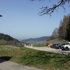
A marked loop trail of 2.5 kilometers (1.6 miles) leads to the various cascades and requires roughly 1.5 hours of walking time. The ascent includes steep sections requiring sturdy footwear and reasonable fitness. Parking is available in Bühlertal where the access path begins. After heavy rainfall the water volume is most impressive, while late summer may bring significantly reduced flow.
The total elevation change of 1,080 feet (330 meters) occurs within a relatively short horizontal distance, with 720 feet (220 meters) concentrated in one area containing the most prominent single drop of 230 feet (70 meters). This unusual steepness within a forested mid-mountain valley makes the formation a geological anomaly in the region.
The community of curious travelers
AroundUs brings together thousands of curated places, local tips, and hidden gems, enriched daily by 60,000 contributors worldwide.