Enable Location

We need your location to show you interesting places around you

Discover nearby places

Find interesting locations and hidden gems around you

Precise directions

Get accurate directions and distances to places

Your location is never shared with other users. It's only used when you tap the location button.

Hoher Ochsenkopf

Log in to your account

Start exploring — it's free

Trusted by 62,820 travelers worldwide

Continue with Google
Continue with Apple
or

We will send you a code to connect

By continuing, you accept our Terms and Conditions and our Privacy Policy

Check your inbox

We've sent a pincode in your inbox. Please enter the code below.

Hoher Ochsenkopf

Hoher Ochsenkopf, Mountain summit in Northern Black Forest, Germany

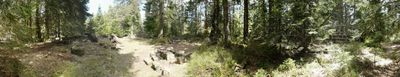
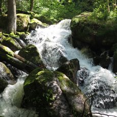
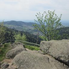
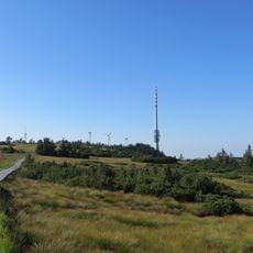
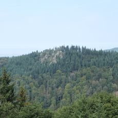
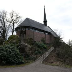
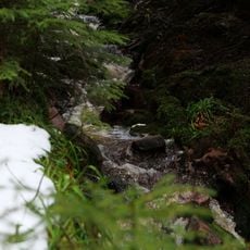
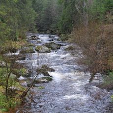
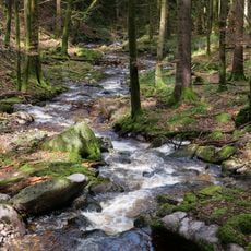
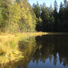
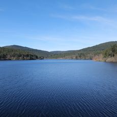
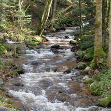
Hoher Ochsenkopf is a mountain summit in the Northern Black Forest region of Baden-Württemberg with a distinctive dome-shaped peak. The mountain rises to roughly 1054 meters above sea level and combines mixed forests with open slope areas.

The mountain received protected status in 1970 when authorities established a protected forest zone to restore the local forest ecosystem. This designation marked a turning point in how the summit and its surrounding slopes were managed.

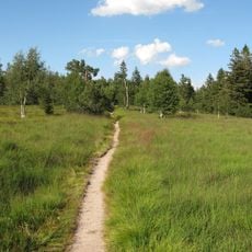
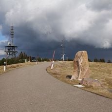
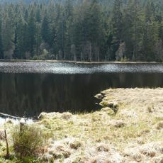
The name High Ox Head comes from the mountain's past use as pastureland for cattle in the Northern Black Forest. Walking up the slopes, you can still see open meadows that reflect this historical grazing tradition.

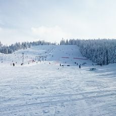
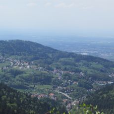
Multiple marked hiking trails lead to the summit, including routes from the Hundseck ridge path and steeper climbs from Herrenwies or Aschenplatz. Spring through autumn offers the best conditions when trails are dry and easy to navigate.

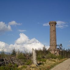
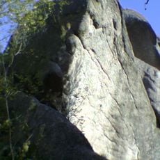
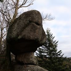
The summit contains a geological formation called Teufelskamin, or Devil's Chimney, with an open fault structure that resembles a natural cave opening. This unusual rock formation is a notable feature encountered during the climb.

The community of curious travelers

AroundUs brings together thousands of curated places, local tips, and hidden gems, enriched daily by 60,000 contributors worldwide.

Start exploring
Elevation above the sea
1,054.1 m
GPS coordinates
48.64253,8.26873
Latest update
December 13, 2025 17:01
« Hoher Ochsenkopf - Mountain summit in Northern Black Forest, Germany » is provided by Around Us (aroundus.com). Images and texts are derived from Wikimedia project under a Creative Commons license. You are allowed to copy, distribute, and modify copies of this page, under the conditions set by the license, as long as this note is clearly visible.

Discover hidden gems everywhere you go!

From secret cafés to breathtaking viewpoints, skip the crowded tourist spots and find places that match your style. Our app makes it easy with voice search, smart filtering, route optimization, and insider tips from travelers worldwide. Download now for the complete mobile experience.

Around Us App Screenshot

A unique approach to discovering new places

Le Figaro

All the places worth exploring

France Info

A tailor-made excursion in just a few clicks

20 Minutes

Around Us
Travel Guide & Maps
Download

Send to your phone

QR Code
1

Open the camera app on your mobile.

2

Point at the QR code with your camera. A notification will appear.

3

Tap the notification to open the link.