Hochkopf, Mountain summit in Rastatt district, Germany
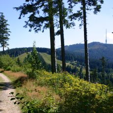
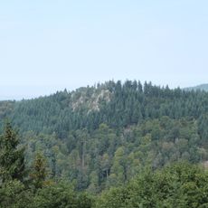
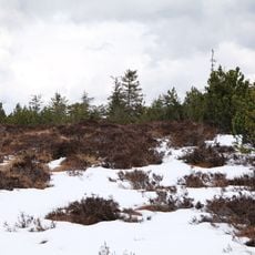
Hochkopf is a mountain summit in the northern Black Forest region, rising to approximately 1040 meters in elevation. The terrain features typical characteristics of the area with forested sections and open ground that allows views across the landscape.
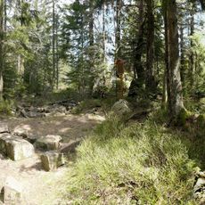
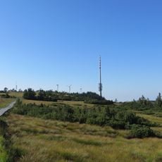
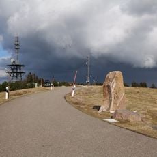
The Hochkopf lies on the main ridge of the Northern Black Forest, about 700 metres south of the Pfrimmackerkopf (1,035.7 m). Its long north-south plateau is a grinde, an open highland landscape typical of the region, now protected as a Landschaftsschutzgebiet and Schonwald. In the 20th century the Schwarzwaldhochstraße (B 500) was built across its north and west flanks at around 900 metres, linking the former high-altitude hotel sites of Hundseck and Unterstmatt.
The name Hochkopf refers to the mountain's high, rounded head, and the long north-south plateau on its top is a grinde, the open highland landscape typical of the Northern Black Forest. The B 500 Black Forest High Road runs along its north and west flanks at about 900 metres, linking the former highland hotel sites of Hundseck and Unterstmatt, from which footpaths lead up to the summit.
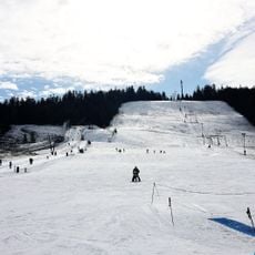
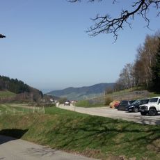
The B 500 Black Forest High Road runs along the north and west sides of the mountain at about 900 m, between Hundseck (884 m) and Unterstmatt (928 m). From these points footpaths lead up to the summit. At Unterstmatt, on the southern slope, a ski piste served by the Skilift Hochkopf lies on the mountain.
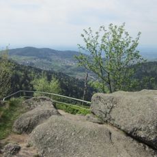
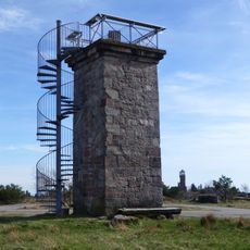
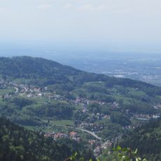
From the summit, visitors can see in both directions toward the northern and southern parts of the Black Forest. On clear days, this view across both regions becomes particularly rewarding and makes the climb worthwhile.
The community of curious travelers
AroundUs brings together thousands of curated places, local tips, and hidden gems, enriched daily by 94,515 contributors worldwide.