Log in to your account

AroundUs is a community-driven map of interesting places, built by curious explorers like you. It grows with every review, story, and photo you share.
Connect to save your favorite spots, contribute locations, and create personalized routes.
Continue with Google
Continue with Apple
Continue with X
Continue with Facebook
Continue with email
By continuing, you accept our Terms and Conditions and our Privacy Policy
Create an account
Add to collection
Map
Suggest a change
Share

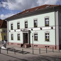
Rastatt district, Administrative district in Baden-Württemberg, Germany.

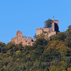
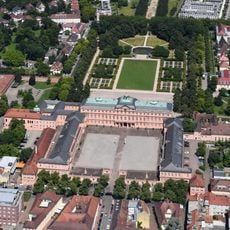
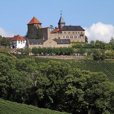
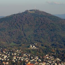
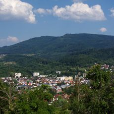
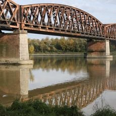
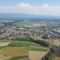
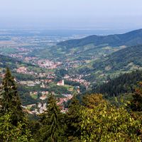
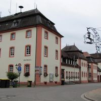
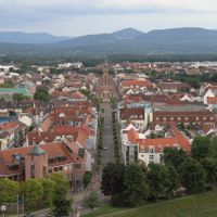
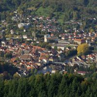
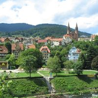
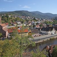
Rastatt district is an administrative division in Baden-Württemberg that stretches from the Rhine valley in the west to the Northern Black Forest in the east. The area comprises fifteen municipalities across 738 square kilometers with largely rural landscapes.

The district was formed in 1939 from the Oberamt Rastatt and expanded in 1973 through mergers with the district of Bühl and parts of Kehl district. These consolidations shaped the region's current administrative structure and territorial layout.

The coat of arms features a wine ladder, grapes, and a rose, telling the story of the area's viticultural tradition and the influence of the counts of Eberstein. These symbols connect the region's identity to its agricultural roots and local heritage.

The district maintains partnerships with international cities including Vantaa in Finland, Pesaro in Italy, and New Britain in Connecticut. These connections demonstrate the region's international orientation and cross-border networking across Europe and the Atlantic.

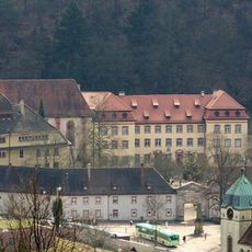
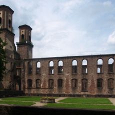
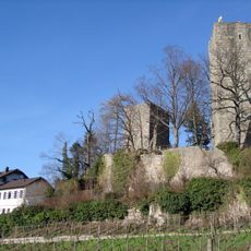
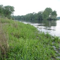
Several small territorial enclaves of the district are located within Baden-Baden and contain notable sites such as Waldenecksee lake and the former Fremersberg Abbey. These geographical peculiarities are visible remnants of the region's complex administrative history.

Location: Region Mittlerer Oberrhein

Location: Karlsruhe Government Region

Capital city: Rastatt

Elevation above the sea: 236 m

Shares border with: Baden-Baden, Landkreis Karlsruhe, Calw District, Freudenstadt, Ortenau

Website: http://landkreis-rastatt.de

GPS coordinates: 48.80000,8.27000

Latest update: December 13, 2025 13:29

Photos
Reviews

Visited this place? Tap the stars to rate it and share your experience / photos with the community! Try now! You can cancel it anytime.

« Rastatt district - Administrative district in Baden-Württemberg, Germany » is provided by Around Us (aroundus.com). Images and texts are derived from Wikimedia project under a Creative Commons license. You are allowed to copy, distribute, and modify copies of this page, under the conditions set by the license, as long as this note is clearly visible.

Discover hidden gems everywhere you go!

From secret cafés to breathtaking viewpoints, skip the crowded tourist spots and find places that match your style. Our app makes it easy with voice search, smart filtering, route optimization, and insider tips from travelers worldwide. Download now for the complete mobile experience.

Around Us App Screenshot

A unique approach to discovering new places

Le Figaro

All the places worth exploring

France Info

A tailor-made excursion in just a few clicks

20 Minutes