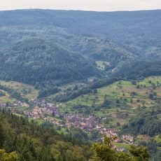
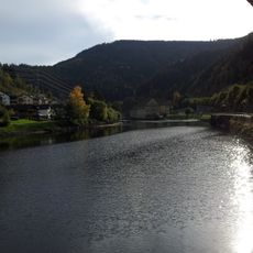
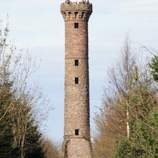
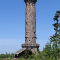
Forbach, village and municipality in Baden-Württemberg, Germany
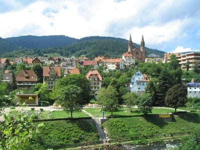
Forbach is a small municipality in the Black Forest region of Baden-Württemberg, stretching across a quiet valley formed by the Murg river. The administrative area encompasses nine villages and districts, including Bermersbach, Gausbach, and Herrenwies, which together form a network of residential settlements.
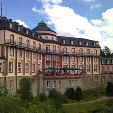
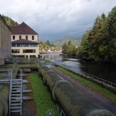
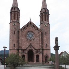
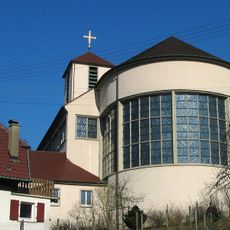
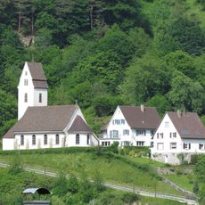
Forbach has a history spanning several centuries as a mountain farming community where residents lived from forestry and cheese making. Over time, the area maintained its rural character while old buildings and farmhouses still testify to these traditional crafts and livelihoods.
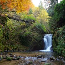
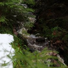
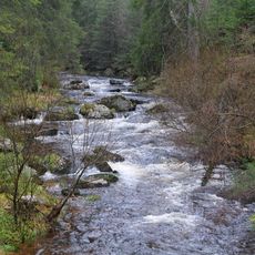
Forbach takes its name from the Murg river and the streams that flow through the valley, shaping the area's identity. The villages display traditional Black Forest architecture with sloped roofs and wooden shutters that still define the character of these settlements.
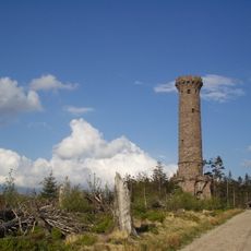
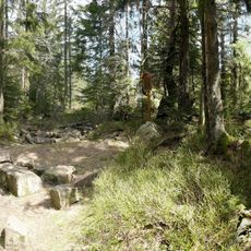
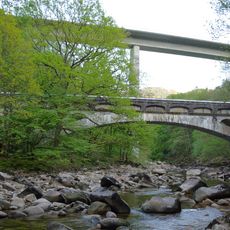
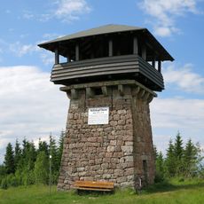
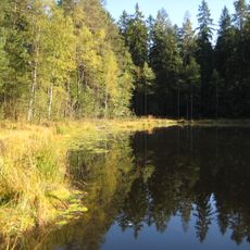
The area can be explored on foot or by bicycle using local paths that wind through fields and forests connecting the villages. Hiking trails lead through the landscape, allowing visitors to discover the region at their own pace and move between settlements easily.
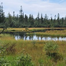
Forbach is home to the Schwarzenbach barrage, a popular reservoir where visitors can swim, paddle, or canoe during warmer months. The lake sits nestled in the Black Forest landscape, offering a tranquil spot for relaxation and water-based activities.
The community of curious travelers
AroundUs brings together thousands of curated places, local tips, and hidden gems, enriched daily by 60,000 contributors worldwide.